An iCON of construction

Leica Geosystems has high hopes for iCON, described as its pioneering portfolio of tailor-made positioning and measuring solutions for construction professionals. Said to be more than a new product line and a software package, the iCON range consists of four elements. iCONstruct provides tailor-made hardware and software solutions for positioning and measuring tasks on site.
June 21, 2012 Read time: 1 min
265 Leica Geosystems has high hopes for iCON, described as its pioneering portfolio of tailor-made positioning and measuring solutions for construction professionals.

Said to be more than a new product line and a software package, the iCON range consists of four elements.

iCONstruct provides tailor-made hardware and software solutions for positioning and measuring tasks on site.

Meanwhile, iCONtrol provides communication between construction personnel on site while also offering what is said to be a comprehensive portfolio of machine control solutions.

iCONsult is an extensive support network, with clear guidance on intelligent construction aimed at growing contractors businesses.

Finally, iCONnect connects the iCON system to what is said to be a “superior” network using wireless data transfer.

For more information on companies in this article

Related Content

  • Trimble technology centre stage at CONEXPO-CON/AGG 2014
    March 27, 2014
    The Trimble Quantm alignment planning system, on show at CONEXPO/CON-AGG 2014, allows road designers to cut planning time and deliver projects with little environmental and social impact at a reduced cost. The system analyses millions of alignment alternatives and returns a range of options to the planning team for consideration. When new data becomes available the Quantm system can quickly recalculate more alignment options.
  • Pinpoint accuracy offered by Leica’s iCON MCH100 and Telematics
    April 14, 2016
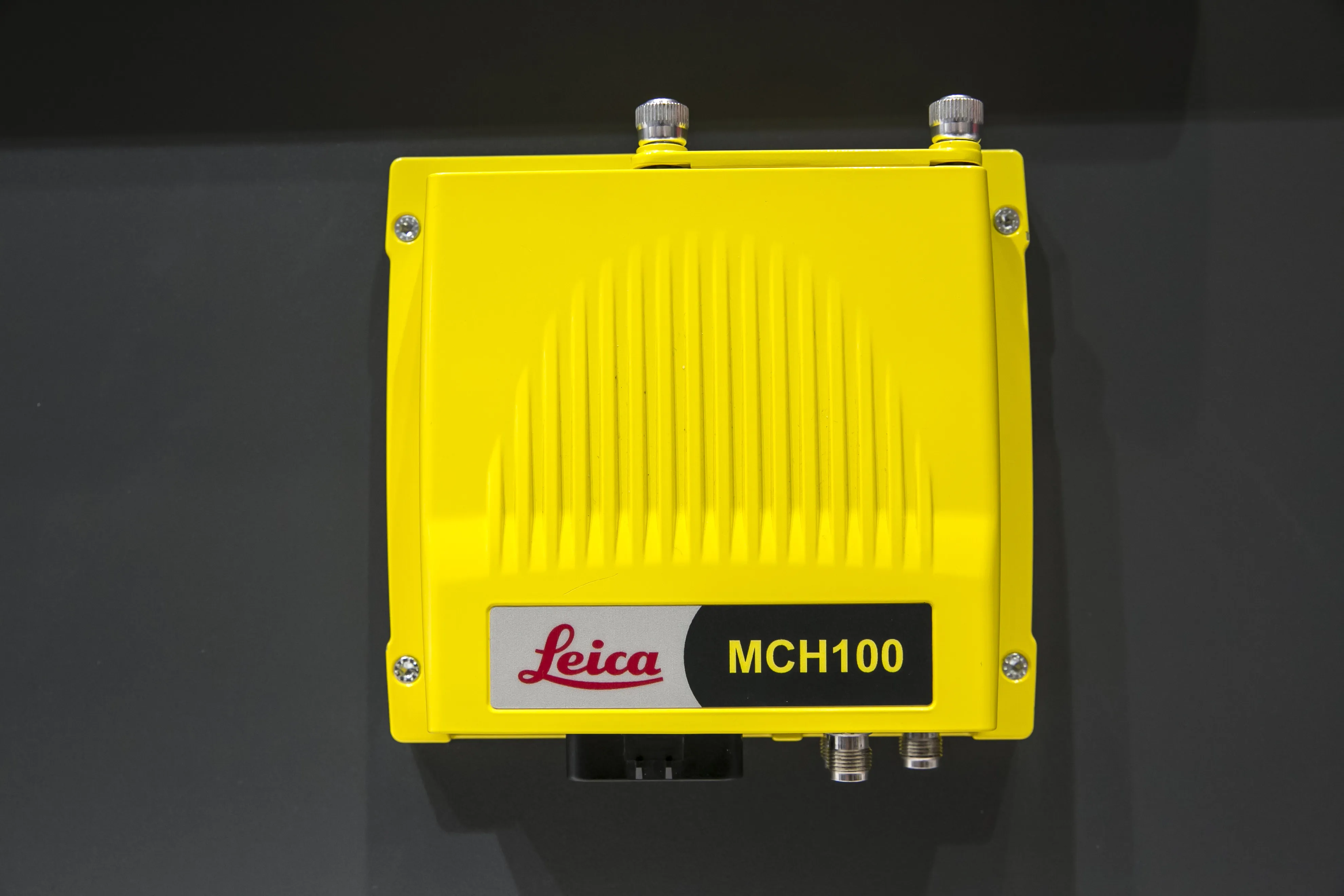
    Leica’s iCON MCH100 and Telematics machine monitoring systems make it possible to know what any type of earthmoving machine is doing anytime and anywhere in the quarry or construction site. The iCON MCH100 unit, which offers the real-time location of machinery, can be attached in a non-invasive fashion with no calibration needed. Importantly, it has wireless connectivity for any type of earthmoving equipment – and from any manufacturer - and can stand up to long hours of operation in rugged conditions.
  • AibotX6 Version 2 uses High Precision GNSS
    January 19, 2016
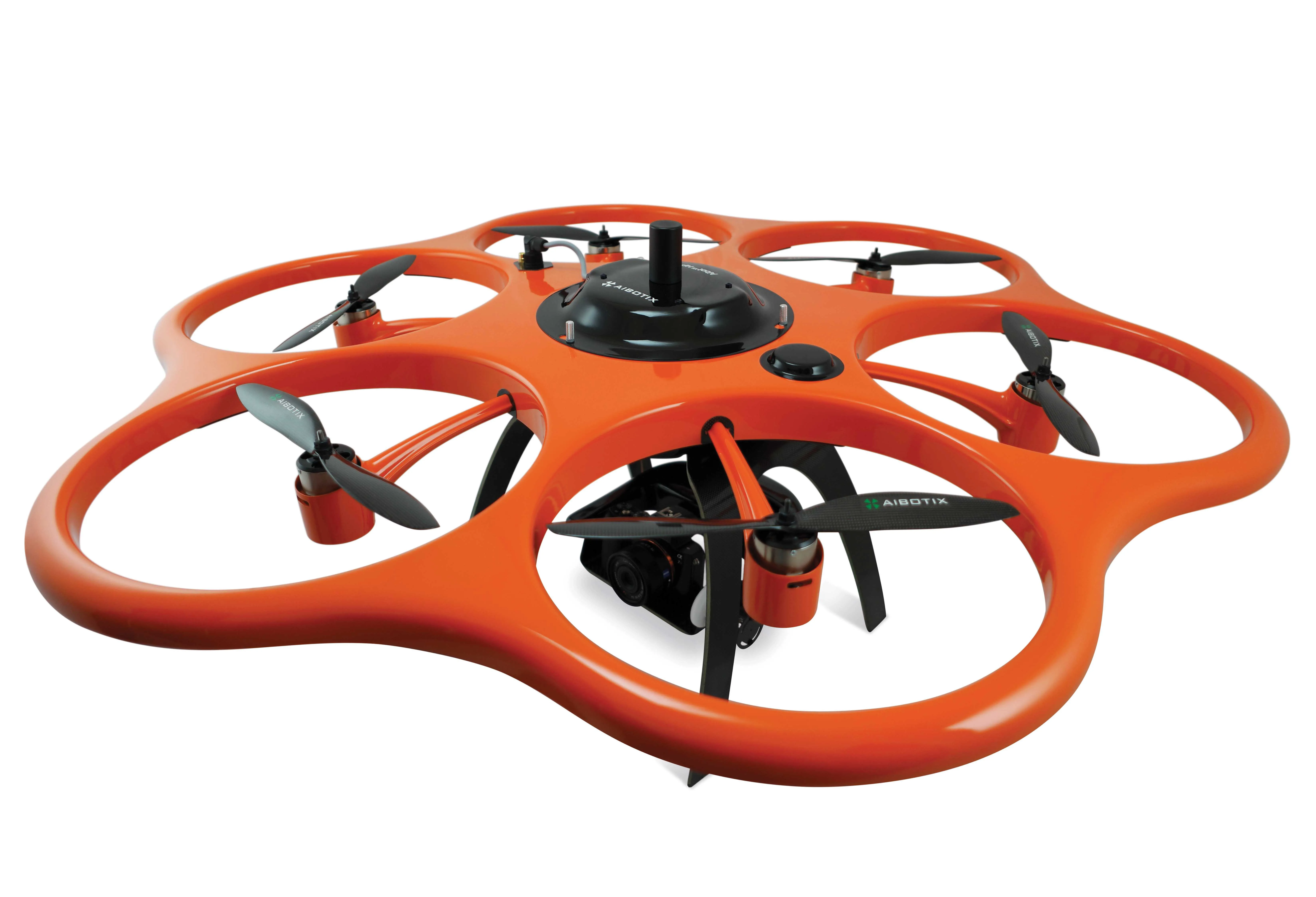
    Kassel-based company Aibotix has presented a solution for high-precision surveying with Version 2 of its tried and tested surveying hexacopter AibotX6: High Precision GNSS. Aibotix, based in Kassel, in the middle of Germany, develops and manufactures multi-copters for applications in the industrial sector. The company's name is a combination of Ai for artificial intelligence and botix for robotics.
  • Trimble announces key technology developments
    November 7, 2018
    Trimble is expanding its range of machine control technology options for users of graders and excavators with the release of key new releases. One is for the LOADRITE Payload Management system, which can now be utilised on excavators already equipped with the Trimble Earthworks Grade Control Platform. The other systems are new versions of the Trimble Earthworks Grade Control Platform that can be used with graders or deliver automatic guidance for tiltrotators. These are key developments for the firm, boo