An iCON of construction

Leica Geosystems has high hopes for iCON, described as its pioneering portfolio of tailor-made positioning and measuring solutions for construction professionals. Said to be more than a new product line and a software package, the iCON range consists of four elements. iCONstruct provides tailor-made hardware and software solutions for positioning and measuring tasks on site.
June 21, 2012 Read time: 1 min
265 Leica Geosystems has high hopes for iCON, described as its pioneering portfolio of tailor-made positioning and measuring solutions for construction professionals.

Said to be more than a new product line and a software package, the iCON range consists of four elements.

iCONstruct provides tailor-made hardware and software solutions for positioning and measuring tasks on site.

Meanwhile, iCONtrol provides communication between construction personnel on site while also offering what is said to be a comprehensive portfolio of machine control solutions.

iCONsult is an extensive support network, with clear guidance on intelligent construction aimed at growing contractors businesses.

Finally, iCONnect connects the iCON system to what is said to be a “superior” network using wireless data transfer.

For more information on companies in this article

Related Content

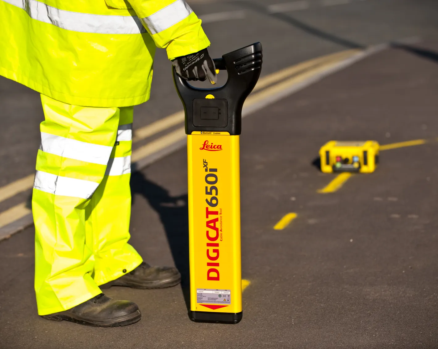
  • Leica’s new Digicat xf-Series cable locators and transmitters
    January 6, 2017
    Leica Geosystems has launched the latest editions to the Digisystem product range: the Leica Digicat xf-Series. With Leica Geosystems’ new xf-Series cable locators and transmitters, users are said to be able to accurately detect and trace utilities faster and over a greater distance. The Leica Digicat xf-Series is said by the Swiss firm to have been specifically designed with long distance tracing in mind. The ability to trace transmitter frequencies of 512Hz and 640Hz provides users with a greater tracing r
  • Leica’s new Digicat xf-Series cable locators and transmitters
    January 30, 2013
    Leica Geosystems has launched the latest editions to the Digisystem product range: the Leica Digicat xf-Series. With Leica Geosystems’ new xf-Series cable locators and transmitters, users are said to be able to accurately detect and trace utilities faster and over a greater distance. The Leica Digicat xf-Series is said by the Swiss firm to have been specifically designed with long distance tracing in mind. The ability to trace transmitter frequencies of 512Hz and 640Hz provides users with a greater tracing r
  • Faster surveying with Leica Geosystems
    June 16, 2016
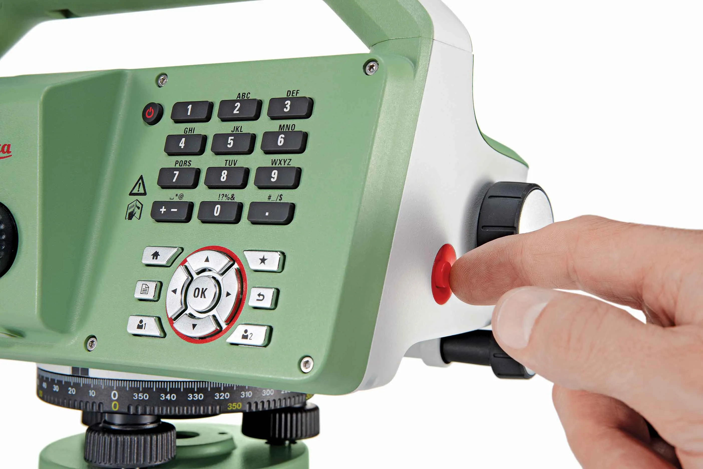
    Leica Geosystems says that the new LS15 tool can be used to complete all the key stages for levelling. The system has a high accuracy of 0.2mm, which can be achieved by aiming at the target via the colour touch display and pressing the measuring button. Key working features include an electronic bubble and tilt checks prior to each measurement and autofocus. These are said to help to reduce fatigue over a shift and help minimise the risk of working errors, ensuring consistently high accuracy of measureme
  • Innovations in concrete paving with new technology
    June 22, 2016
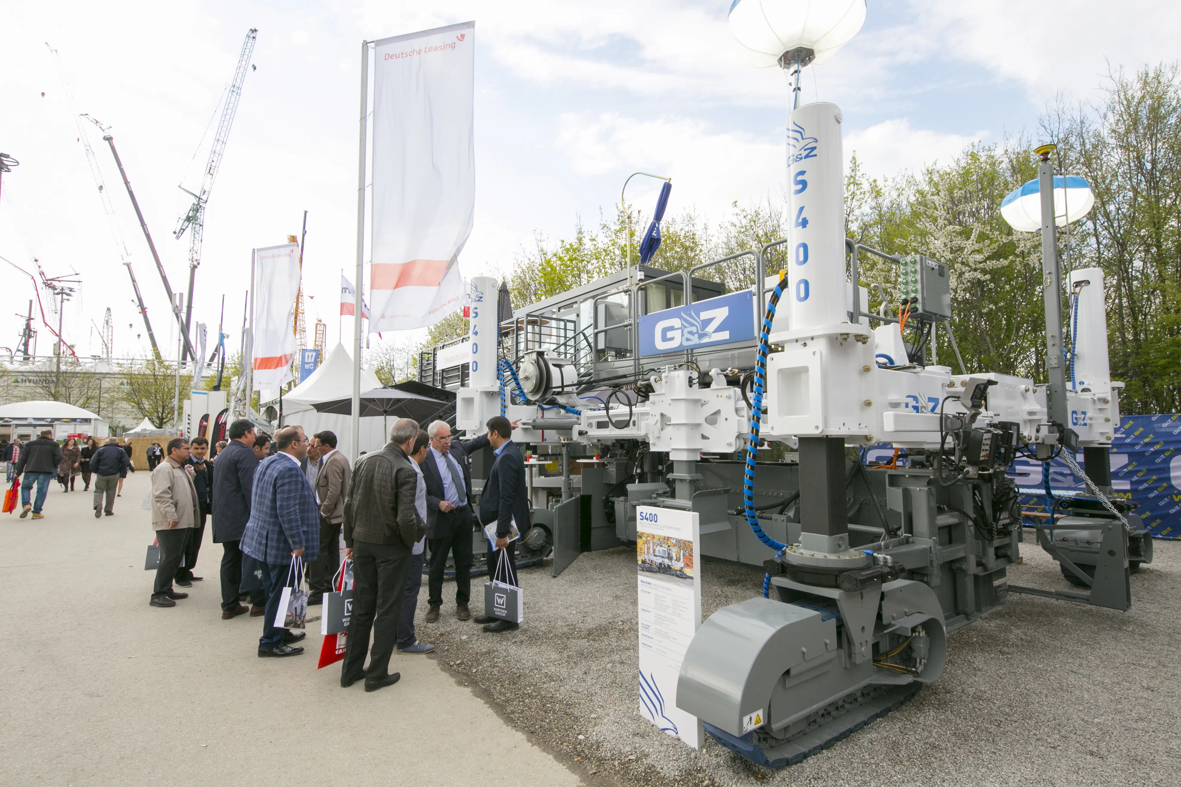
    The start of 2016 has seen major developments in the concrete paving sector - Mike Woof writes So far in 2016 there have been several major developments in the concrete paving equipment market. Many of the key players have introduced new models, broadening their ranges of machines on offer. US firms continue to dominate this niche area of the construction equipment market, with one European company being the only other major international player. At least two Chinese manufacturers have unveiled concrete