An iCON of construction

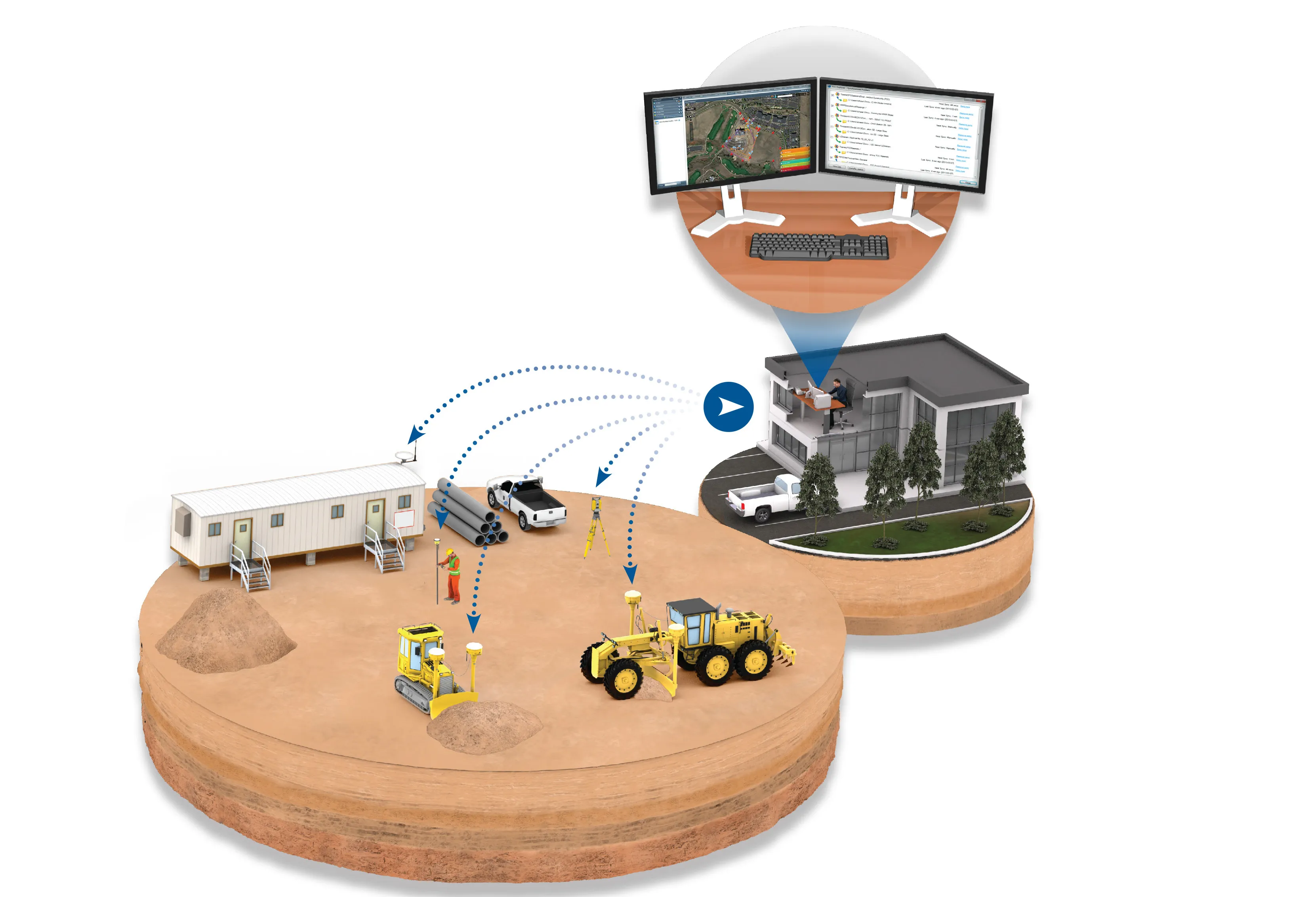
Leica Geosystems has high hopes for iCON, described as its pioneering portfolio of tailor-made positioning and measuring solutions for construction professionals. Said to be more than a new product line and a software package, the iCON range consists of four elements. iCONstruct provides tailor-made hardware and software solutions for positioning and measuring tasks on site.
June 21, 2012 Read time: 1 min
265 Leica Geosystems has high hopes for iCON, described as its pioneering portfolio of tailor-made positioning and measuring solutions for construction professionals.

Said to be more than a new product line and a software package, the iCON range consists of four elements.

iCONstruct provides tailor-made hardware and software solutions for positioning and measuring tasks on site.

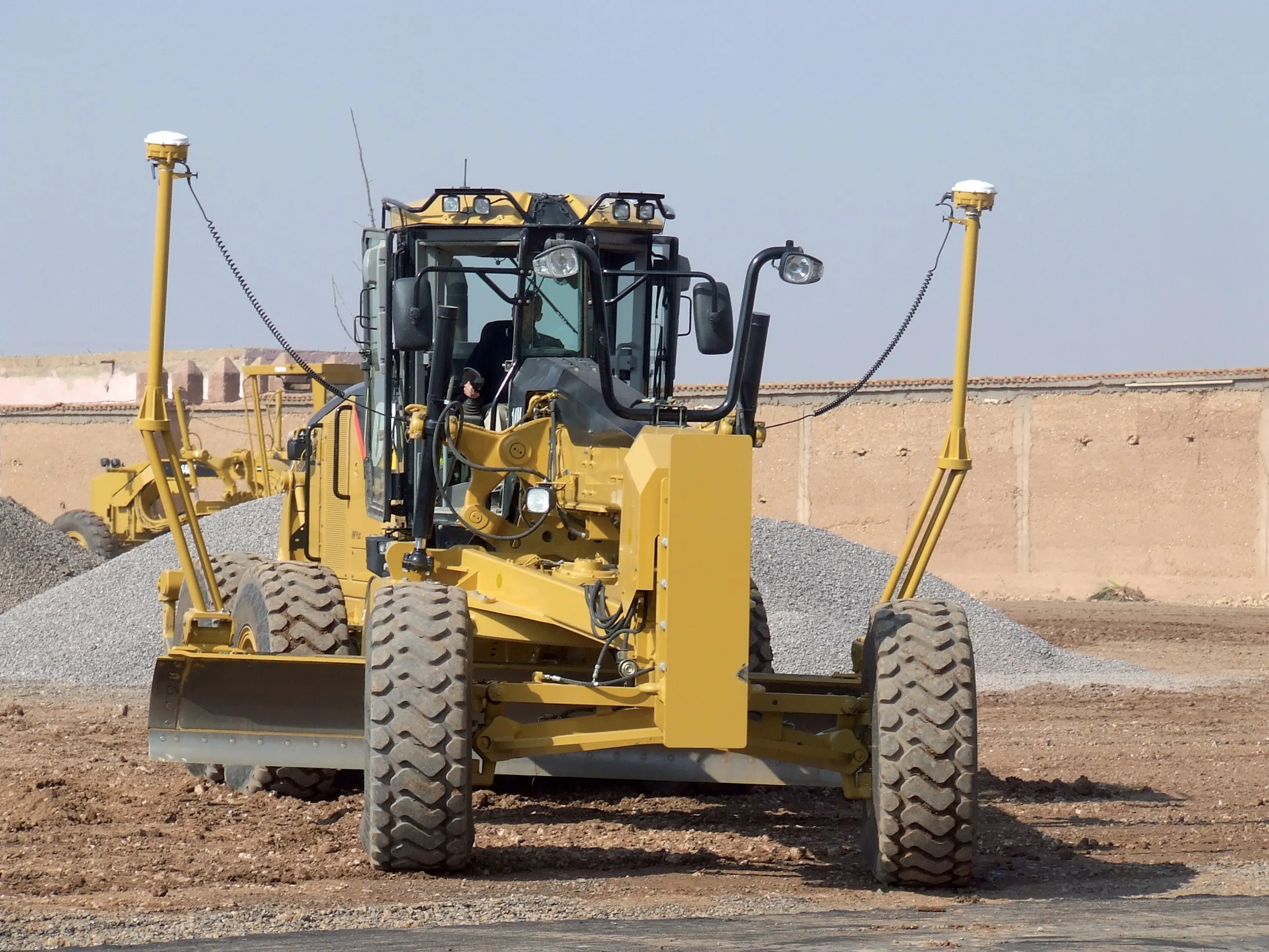
Meanwhile, iCONtrol provides communication between construction personnel on site while also offering what is said to be a comprehensive portfolio of machine control solutions.

iCONsult is an extensive support network, with clear guidance on intelligent construction aimed at growing contractors businesses.

Finally, iCONnect connects the iCON system to what is said to be a “superior” network using wireless data transfer.

For more information on companies in this article

Related Content

  • Trimble offering sophisticated package of solutions
    January 6, 2017
    Trimble says that its latest Connected Site solutions offer improved efficiency for connecting workers, machines and projects across the planning, design and construction lifecycle. These technologies suit use by heavy civil contactors and site preparation contractors. Trimble’s mix of hardware, software and mobility technologies streamlines communication and collaboration throughout the construction lifecycle, from planning, design and site preparation through to the finished project. Connecting people
  • Leica’s new Digicat xf-Series cable locators and transmitters
    April 3, 2013
    Leica Geosystems has launched the latest additions to the Digisystem product range: the Leica Digicat xf-Series. With Leica Geosystems’ new xf-Series cable locators and transmitters, users are said to be able to accurately detect and trace utilities faster and over a greater distance. The Leica Digicat xf-Series is said by the Swiss firm to have been speci?cally designed with long distance tracing in mind. The ability to trace transmitter frequencies of 512Hz and 640Hz provides users with a greater tracing
  • More satellites, more signals
    July 20, 2012
    Greater GPS accuracy suggests closer tolerances for surveying and machine control functions What happens in the future for GPS surveying and machine control could depend on satellite choice and signals. Right now there are around 30 satellites in orbit, largely built by the US, but by 2012 that could rise to 120 as Europe, China, India and Russia fully enter the market. A chequered history has faced the European's Galileo system. At long last, the finance appears to be in place and the European Commission a
  • HxGN Live 2014: Leica CEO highlights IT-led road construction and mining gains
    June 4, 2014
    Leica Geosystems’ CEO and president Jürgen Dold has highlighted to HxGN 2014 Live delegates how dynamic geospatial systems are creating more effective and safer workflows on road construction sites and in mining.