An iCON of construction

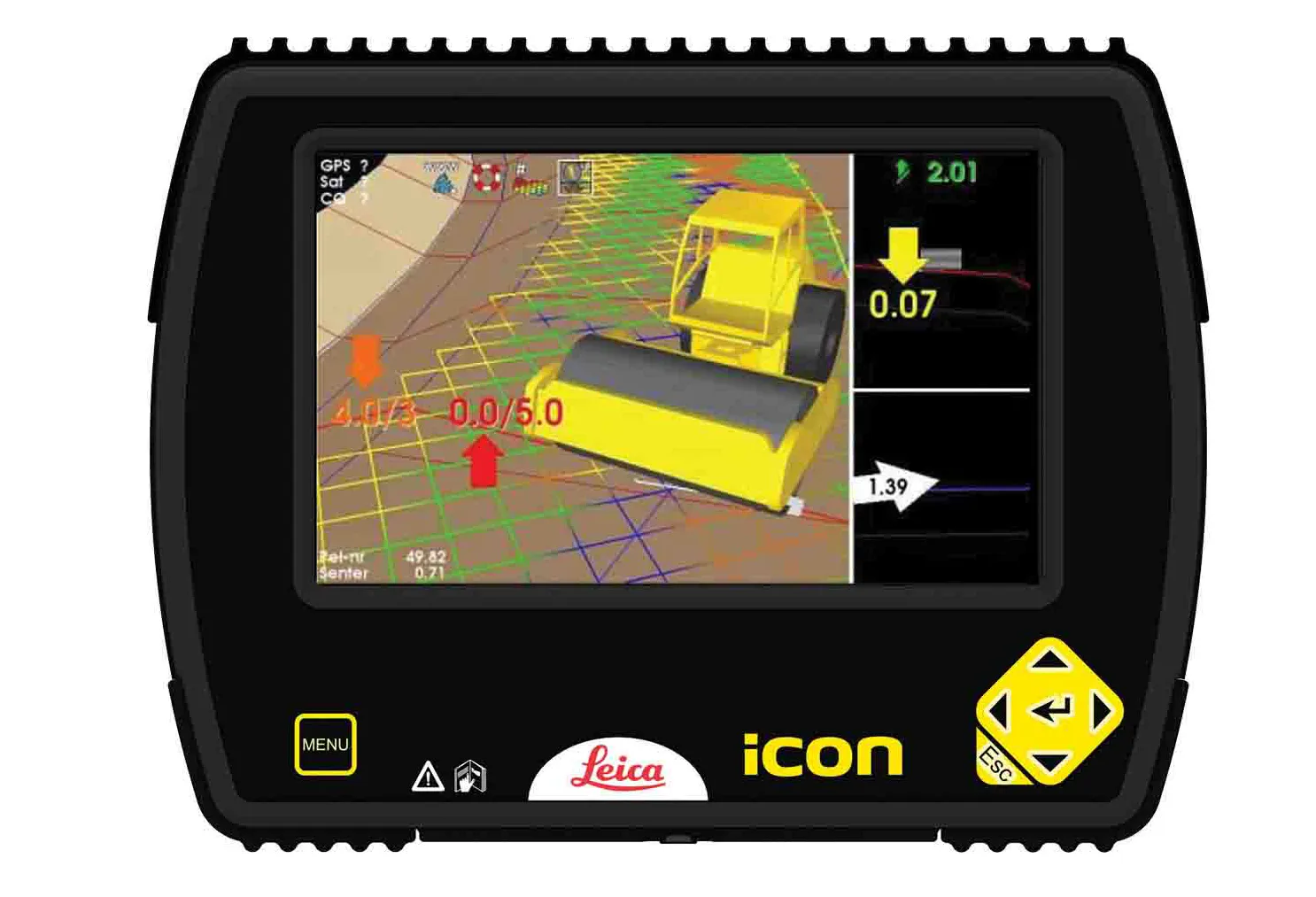
Leica Geosystems has high hopes for iCON, described as its pioneering portfolio of tailor-made positioning and measuring solutions for construction professionals. Said to be more than a new product line and a software package, the iCON range consists of four elements. iCONstruct provides tailor-made hardware and software solutions for positioning and measuring tasks on site.
June 21, 2012 Read time: 1 min
265 Leica Geosystems has high hopes for iCON, described as its pioneering portfolio of tailor-made positioning and measuring solutions for construction professionals.

Said to be more than a new product line and a software package, the iCON range consists of four elements.

iCONstruct provides tailor-made hardware and software solutions for positioning and measuring tasks on site.

Meanwhile, iCONtrol provides communication between construction personnel on site while also offering what is said to be a comprehensive portfolio of machine control solutions.

iCONsult is an extensive support network, with clear guidance on intelligent construction aimed at growing contractors businesses.

Finally, iCONnect connects the iCON system to what is said to be a “superior” network using wireless data transfer.

For more information on companies in this article

Related Content

  • Leica Geosystems offers smart compaction tool
    January 12, 2017
    Leica Geosystems is now offering a sophisticated machine control tool for use with compaction equipment. The firm’s advanced iCON roller package is said to offer contractors an effective solution that can deliver constant and effective compaction on any site. The new iCON roller has on-screen visualisation to show the user where completed passes have occurred and where more are needed for consistent results. Colour coding helps avoid costly reworking as pass count progress is constantly tracked. The unit
  • New tablet solution for Leica Geosystems
    December 12, 2018
    Leica Geosystems is now using the rugged ZX70 Android tablet from Getac as the hardware for its new Leica Zeno GG04 plus Tablet Solution. The new partnership allows Leica Geosystems to bring geospatial data collection capabilities to customers in all terrains and weather conditions such as utilities, public services, transportation and construction. Leica Geosystems has developed a range of new software and hardware including its Zeno Mobile data collection app and Zeno GG04 plus smart antenna to capture a
  • New NetRover range from Leica
    February 7, 2012
    Leica Geosystems is expanding its Viva GNSS range with the addition of the new NetRover package. This comprises the GS08 receiver, a sophisticated RTK network rover and the new Leica Viva CS10 3.5G field controller. The field controller has a fully integrated high-speed 3.5G modem to connect to RTK reference networks and allow mobile broadband internet connectivity for field-to-office data transfer. In addition to 3.5G, the new field controller can also include Bluetooth, WiFi and TPS radio for further conn
  • Software and control innovations introduced
    August 28, 2023
    New developments in construction machine control systems and construction software are helping to change the face of the industry