Highway condition monitoring move

Geospatial surveying specialist Yotta DCL now has a contract with Southampton City Council for road surface condition monitoring and is using its advanced laser technology. Yotta DCL is surveying 300km of the city's roads using its sophisticated ARAN survey vehicle which uses innovative laser scanning and precision GPS systems. These surveys are operating as part of a UK Government-specified programme called Surface Condition Assessment for the National Network of Roads (SCANNER). This will provide the city
August 2, 2012 Read time: 2 mins
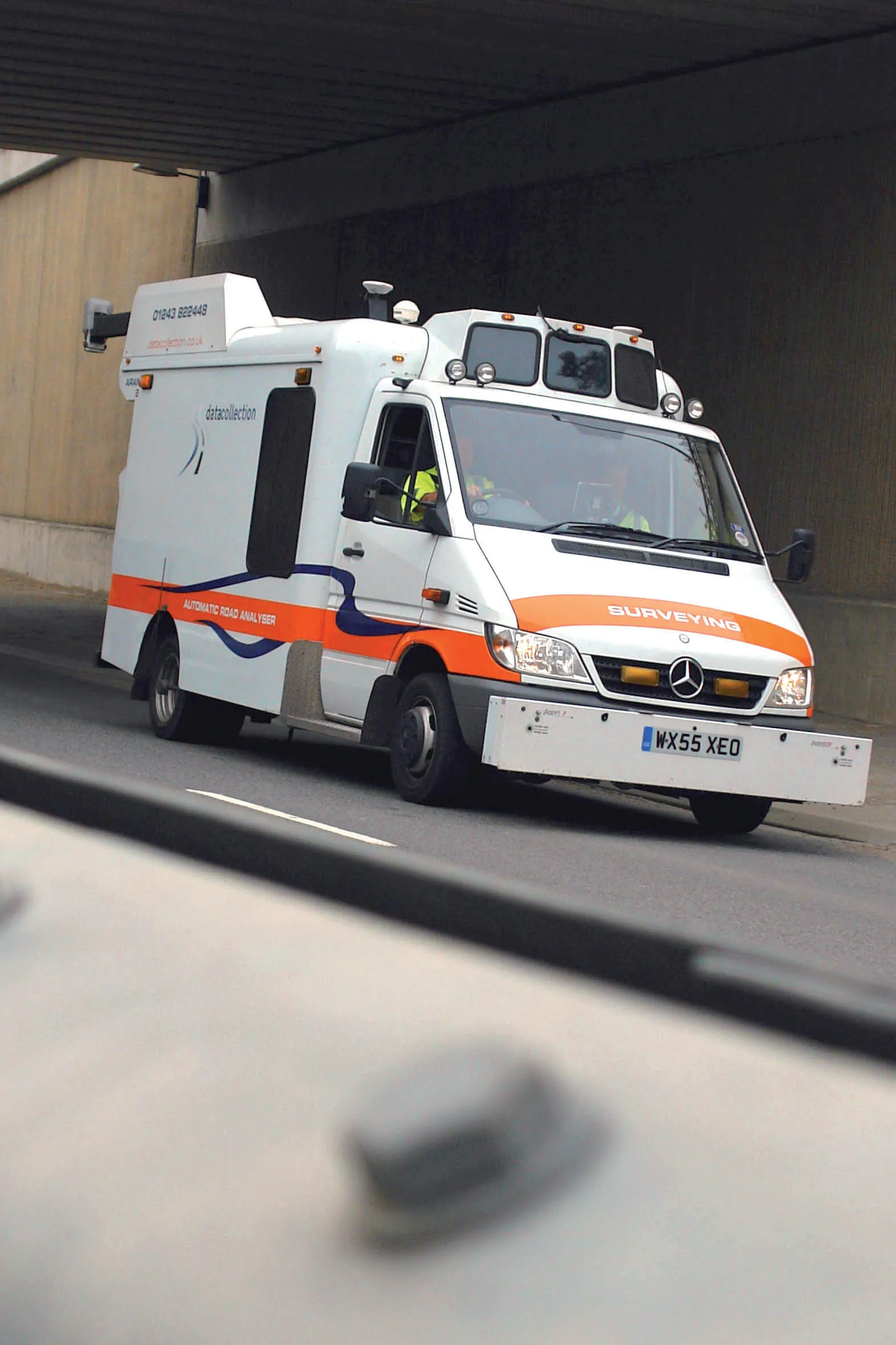
Yotta's sophisticated, Canadian-developed pavement monitoring technology can identify road repair needs quickly
Geospatial surveying specialist 5153 Yotta DCL now has a contract with 3548 Southampton City Council for road surface condition monitoring and is using its advanced laser technology. Yotta DCL is surveying 300km of the city's roads using its sophisticated ARAN survey vehicle which uses innovative laser scanning and precision GPS systems. These surveys are operating as part of a UK Government-specified programme called Surface Condition Assessment for the National Network of Roads (SCANNER). This will provide the city with accurate data that will allow the highway team to plan maintenance programmes and budgets more effectively. The highly specialised ARAN vehicle is an Anglo-Canadian development equipped with an advanced surface laser scanner that captures surface data with its precise location identified by a military-grade satellite positioning system. The accurate location information allows the survey data to be matched with other highways data such as records from on-foot highways defects surveys. Data captured by the ARAN vehicle shows defects such as wheelpath rutting, edge deterioration and cracks as well as the road geometry and longitudinal profile.

For more information on companies in this article

Related Content

  • Yotta DCL to survey 140,000km of UK roads
    April 23, 2012
    Highway surveying company Yotta DCL has signed a four-year contract worth around US$3.61 million with the UK Highways Agency to survey and monitor some 140,000km of motorway and other major roads across England. As part of the agreement, Yotta DCL will perform a traffic speed condition survey (TRACS) to determine the condition of the road surface, assess the areas in particular need of repair and determine where immediate action needs to be taken. The company will use its new state-of-the-art Tempest highwa
  • Better maintenance is on the Horizon for UK’s Warrington Council
    May 15, 2018
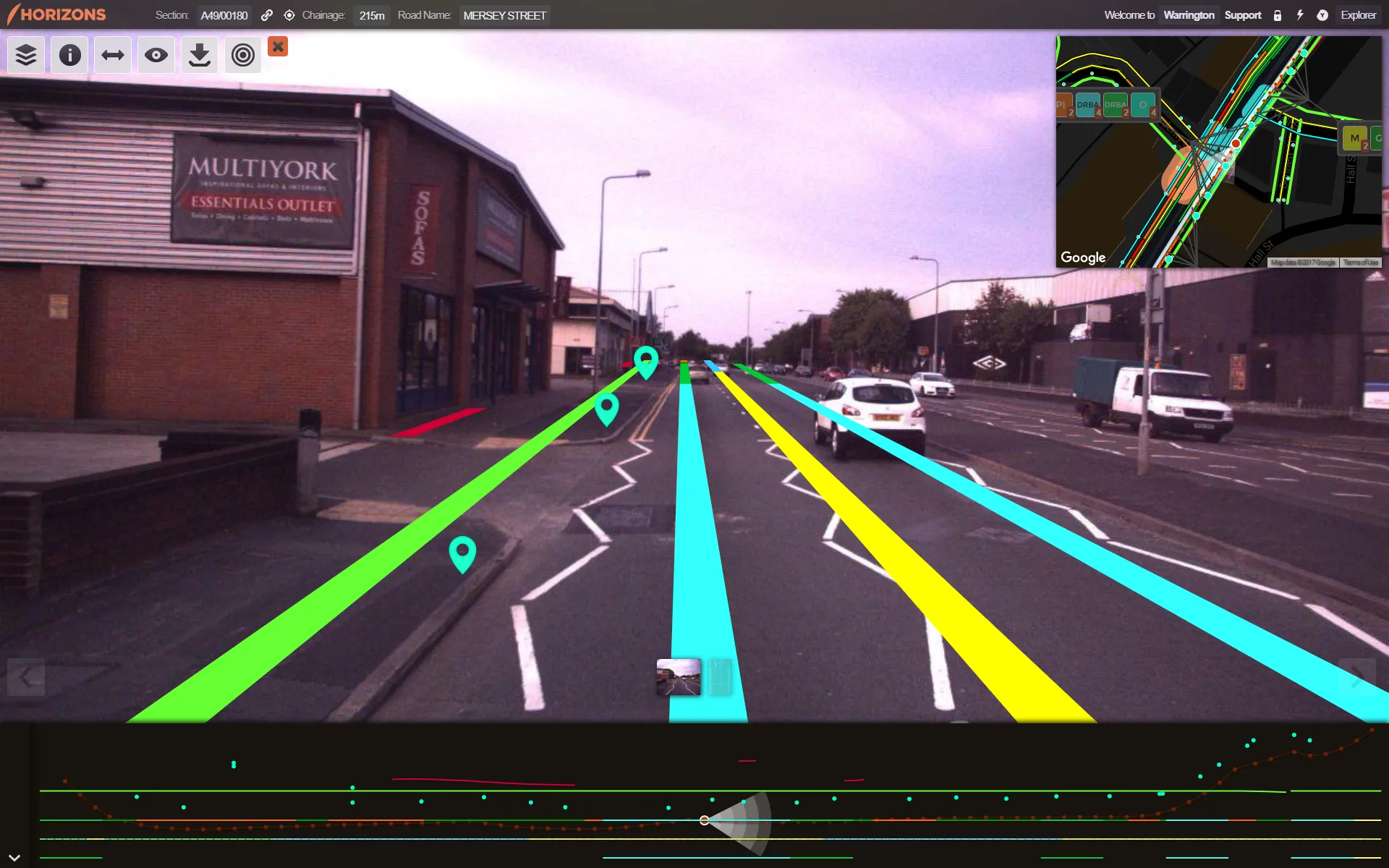
    Good, readable analysis of road surfaces to ensure sufficient maintenance funding is an essential part of asset management. The technical side of ensuring a good road surface is integral to maintaining safe, superior highway infrastructure. But securing sufficient government funding for such work – repairs and new-build – based on the current road surface is also essential. To evaluate road conditions and structure for such a business case, one UK local council turned to software provider Yotta.
  • ARRB Systems' network-level continuous friction testing
    November 20, 2024
    Pavement safety assessments have traditionally focused on discrete low-density friction assessments using proven technology. But more detailed investigations and analysis are now feasible through improved technologies, explains Simon Tetley of ARRB Systems*.
  • Mapping effectively with vehicle-based imaging
    July 23, 2012
    Yotta is offering an innovative vehicle-based imaging service that will provide accurate high-resolution panoramic street-level views of highway features. The vehicle is equipped with a 60 megapixel panoramic camera developed by Yotta and uses Applanix satellite positioning technology to log the exact location of each image. The vehicle cam improves street-level mapping operations with accurate 3D images of buildings and other highway features, such as signs, trees, barriers and fences. Called Y360, the veh