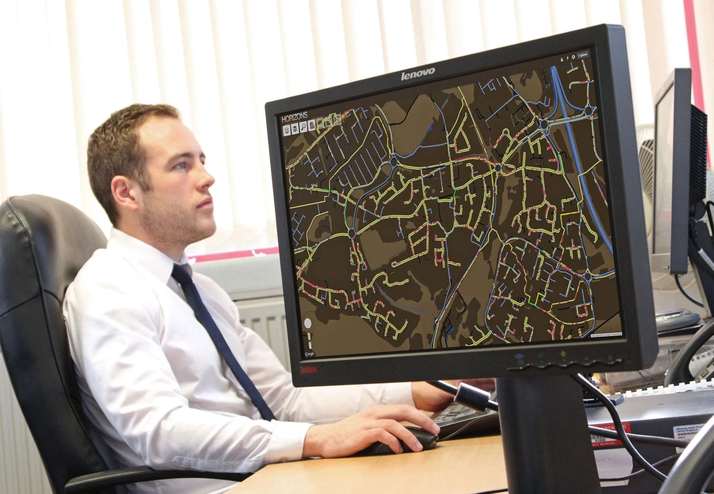
Highway condition monitoring move

Geospatial surveying specialist Yotta DCL now has a contract with Southampton City Council for road surface condition monitoring and is using its advanced laser technology. Yotta DCL is surveying 300km of the city's roads using its sophisticated ARAN survey vehicle which uses innovative laser scanning and precision GPS systems. These surveys are operating as part of a UK Government-specified programme called Surface Condition Assessment for the National Network of Roads (SCANNER). This will provide the city
August 2, 2012 Read time: 2 mins
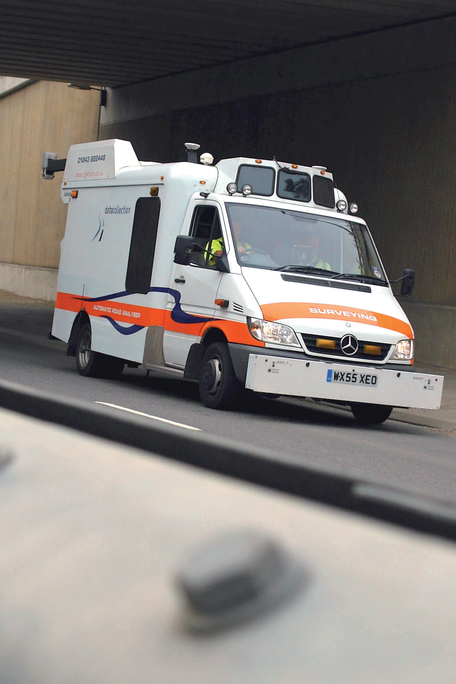
Yotta's sophisticated, Canadian-developed pavement monitoring technology can identify road repair needs quickly
Geospatial surveying specialist 5153 Yotta DCL now has a contract with 3548 Southampton City Council for road surface condition monitoring and is using its advanced laser technology. Yotta DCL is surveying 300km of the city's roads using its sophisticated ARAN survey vehicle which uses innovative laser scanning and precision GPS systems. These surveys are operating as part of a UK Government-specified programme called Surface Condition Assessment for the National Network of Roads (SCANNER). This will provide the city with accurate data that will allow the highway team to plan maintenance programmes and budgets more effectively. The highly specialised ARAN vehicle is an Anglo-Canadian development equipped with an advanced surface laser scanner that captures surface data with its precise location identified by a military-grade satellite positioning system. The accurate location information allows the survey data to be matched with other highways data such as records from on-foot highways defects surveys. Data captured by the ARAN vehicle shows defects such as wheelpath rutting, edge deterioration and cracks as well as the road geometry and longitudinal profile.

For more information on companies in this article

Related Content

  • Fugro organising road maintenance event in UK
    May 16, 2013
    Survey specialist, Fugro Aperio is organising the one day Developments in Highways Assessment (DIHA 2013) conference. This event takes place on July 16th, 2013, at the Midlands Engineering Centre in the UK city of Birmingham. The use of survey data in predictive modelling for improved highways asset management will be a particular focus at the DIHA 2013 conference in July. Richard Barnes will highlight Stockport Council’s work to develop a model for strategic road maintenance investment integrating local co
  • Intelligent asset management approach
    September 11, 2014
    Horizons software is helping Telford and Wrekin Council improve highway asset management processes The visualised asset management solution from Yotta is being used to provide access to essential highway data. Future targets for this technology solution include the addition of asset inventory data and integration with other related service areas including development control, street works and drainage.
  • Road recycling
    September 27, 2023
    Easier to operate, thanks to the increasing use of GPS, and greener to run because of biofuels are two of the more innovative technologies being integrated into machine design by major road recycling equipment manufacturers.
  • IBI’s Routemapper charts new territory with Highways England
    September 14, 2016
    Mapping the asset High-speed data collection just got faster for England’s newly created strategic roads operator Highways England’s establishment as a publicly held company in 2015 created a need for a highly accurate asset inventory. This was potentially very costly and had serious safety implications. As well as its relationships with numerous managing agents and contractors, assets include 35,300km of highway, 12,100km of earthworks, 23,200km of safety fences, 150,000 technology assets and sig