Highway condition monitoring move

Geospatial surveying specialist Yotta DCL now has a contract with Southampton City Council for road surface condition monitoring and is using its advanced laser technology. Yotta DCL is surveying 300km of the city's roads using its sophisticated ARAN survey vehicle which uses innovative laser scanning and precision GPS systems. These surveys are operating as part of a UK Government-specified programme called Surface Condition Assessment for the National Network of Roads (SCANNER). This will provide the city
August 2, 2012 Read time: 2 mins
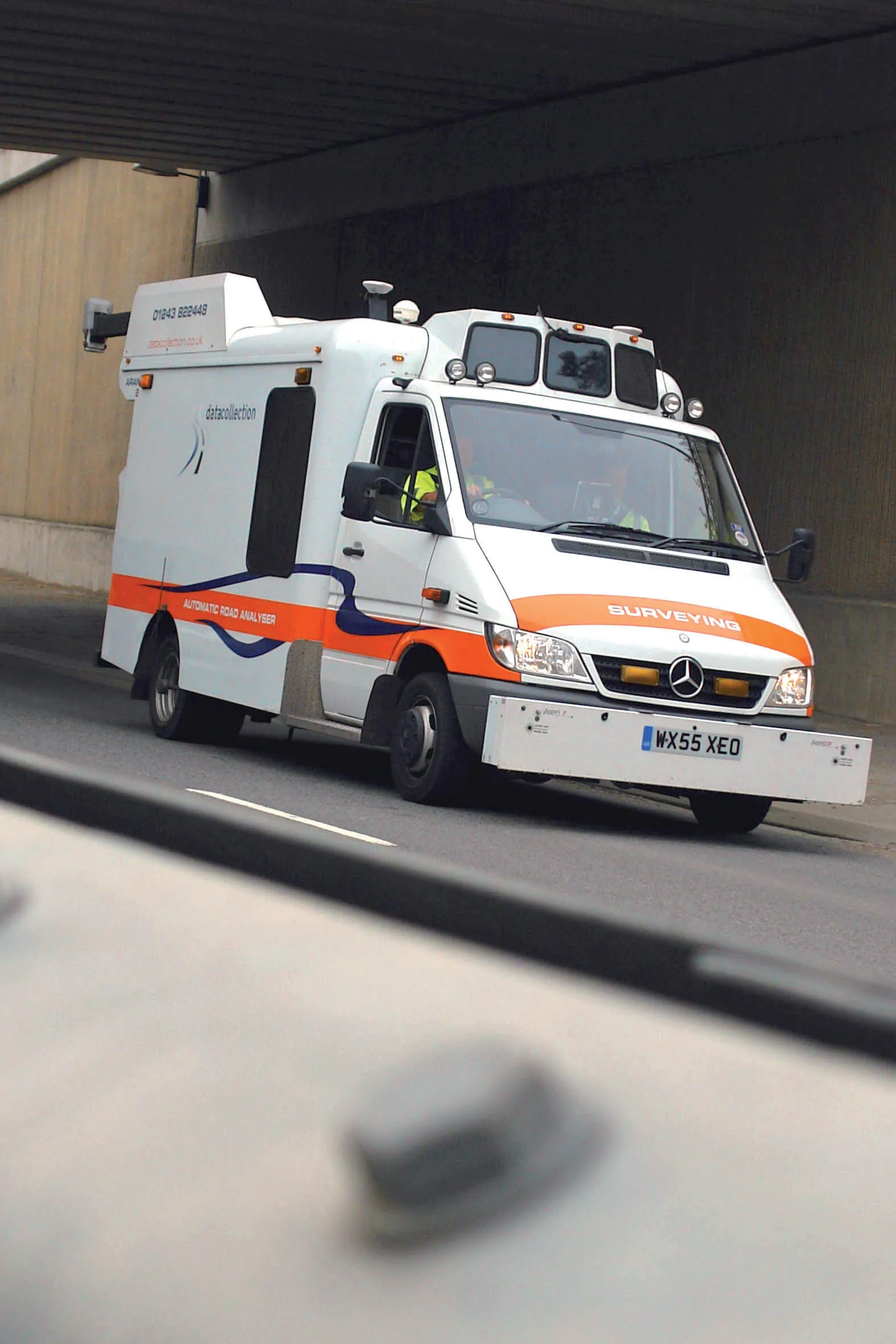
Yotta's sophisticated, Canadian-developed pavement monitoring technology can identify road repair needs quickly
Geospatial surveying specialist 5153 Yotta DCL now has a contract with 3548 Southampton City Council for road surface condition monitoring and is using its advanced laser technology. Yotta DCL is surveying 300km of the city's roads using its sophisticated ARAN survey vehicle which uses innovative laser scanning and precision GPS systems. These surveys are operating as part of a UK Government-specified programme called Surface Condition Assessment for the National Network of Roads (SCANNER). This will provide the city with accurate data that will allow the highway team to plan maintenance programmes and budgets more effectively. The highly specialised ARAN vehicle is an Anglo-Canadian development equipped with an advanced surface laser scanner that captures surface data with its precise location identified by a military-grade satellite positioning system. The accurate location information allows the survey data to be matched with other highways data such as records from on-foot highways defects surveys. Data captured by the ARAN vehicle shows defects such as wheelpath rutting, edge deterioration and cracks as well as the road geometry and longitudinal profile.

For more information on companies in this article

Related Content

  • SECMAIR’s advanced chipsealer solution
    March 7, 2018
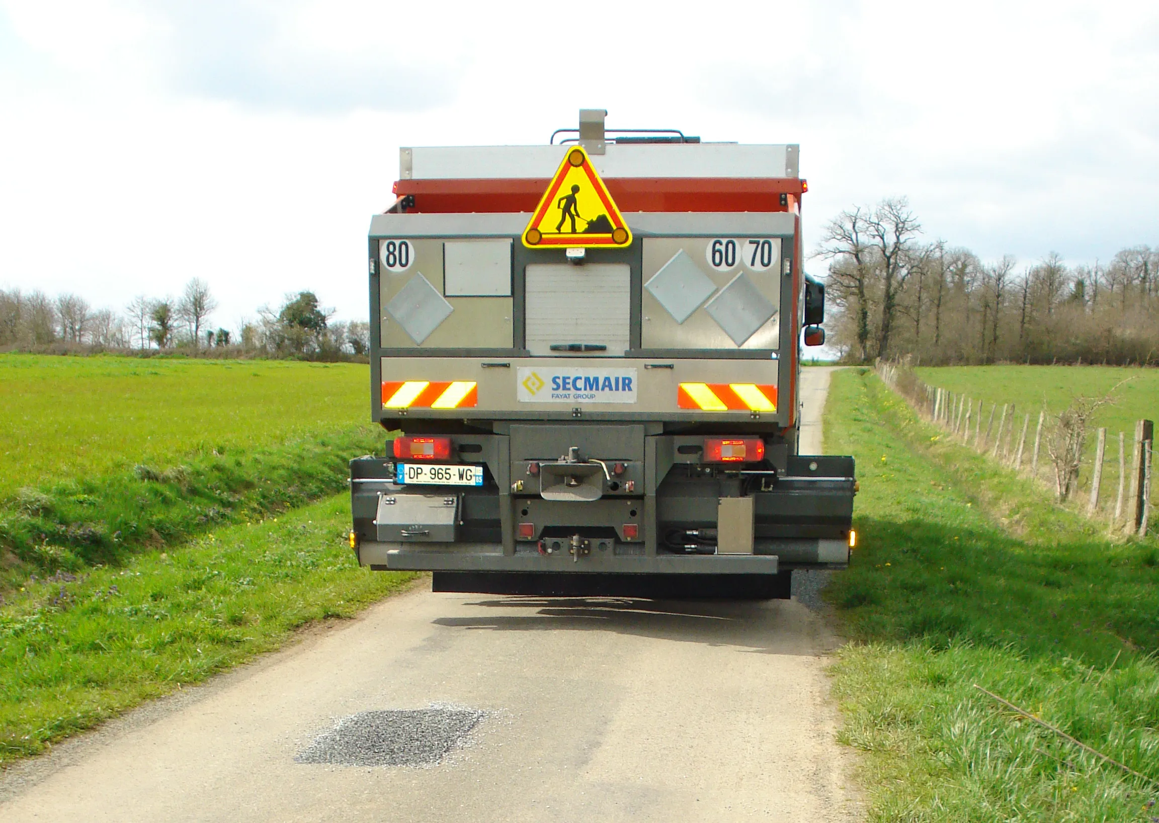
    SECMAIR is introducing an innovative Chipsealer machine that can improve the efficiency and safety of road repair jobs. The SECMAIR CT360 Chipsealer benefits from the firm’s novel laser scanning system to detect potholes and cracks in the road. The system is mounted at the front of the truck and scans back and forward continuously, providing accurate detection of road surface faults. The laser scanning forms part of the firm’s E TRAXX technology, which is said to offer full traceability for road maintenance
  • Data handling for efficient machine control
    October 16, 2012
    The rapid increase in information availability is transforming the construction sector. Conventional methods used for sourcing geographic data based on maps and localised sampling meant that there was often a lack of accurate information relating to ground conditions at specific areas where work was planned, often resulting in unwelcome surprises for construction companies along with additional costs for projects.
  • Unganda investing in road maintenance and management
    October 8, 2014
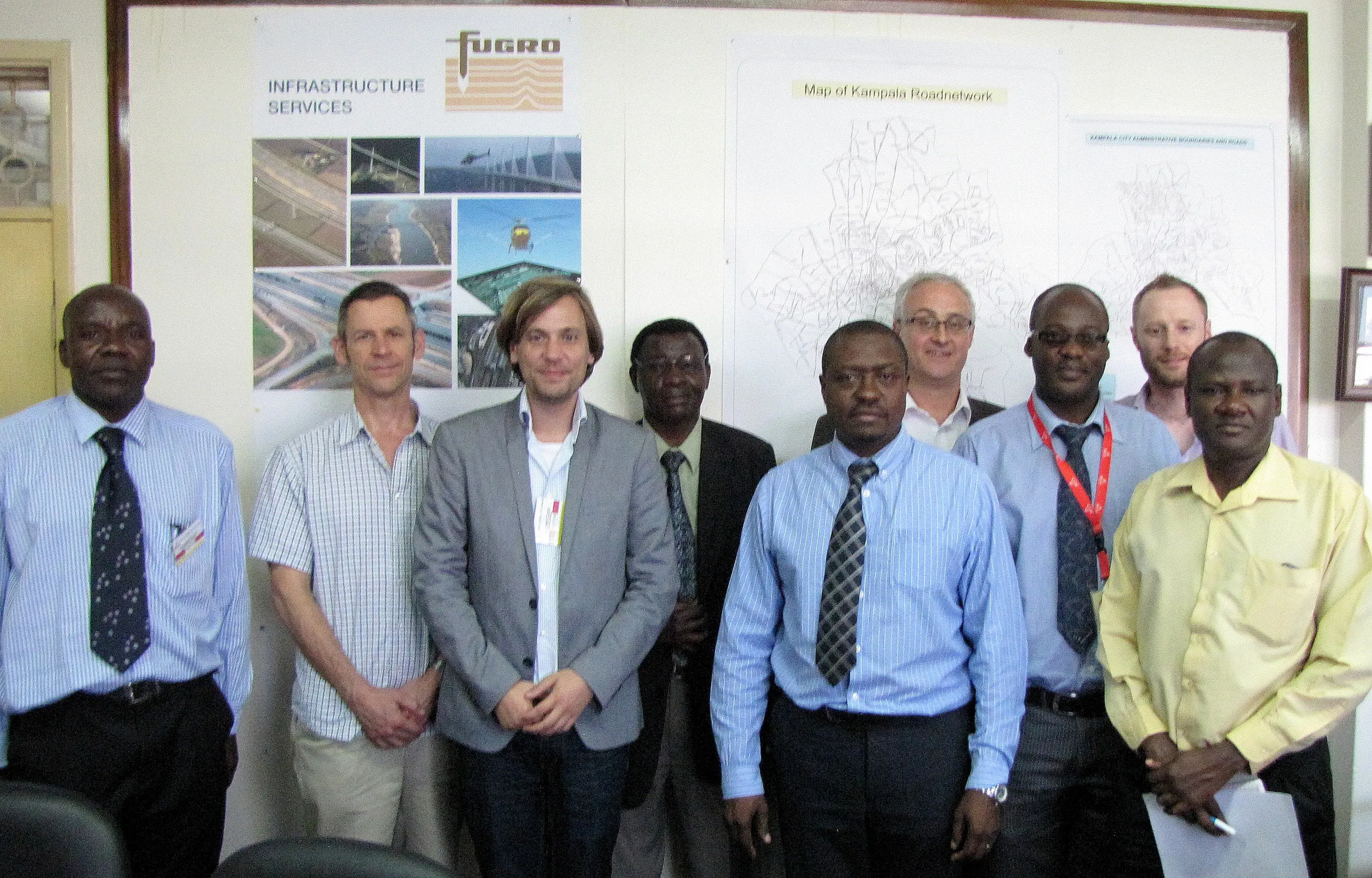
    The Ugandan Government is working to improve the country’s infrastructure, with new links planned as well as a new project tackling asset management. Fugro is leading a team on a pioneering project to build a pavement and asset management system for the road network of Kampala in Uganda as part of this focus on infrastructure. The company is working with international asset management specialists from TRL and local Ugandan mapping and GIS specialist Aerophoto Systems Engineering on behalf of the client, Kam
  • Scanning geotextiles in-situ to monitor condition
    April 1, 2016
    A new solution from Schreiner Services allows RFID transponders integrated into Provlies geotextile products to be scanned and identified. The novel geotextile material can be used to repair into cracked roads, where it delays future damage due to its elasticity. Every 100m an RFID transponder records data relating to traffic count or road condition. Schreiner Services has developed a mobile solution for the Provlies geotextile that enables the readout of the recorded data at speeds of up to 60km/h.