
High accuracy positioning

By MJ Woof March 6, 2024 Read time: 1 min
New technology from Trimble can prevent signal distortion caused by solar activity

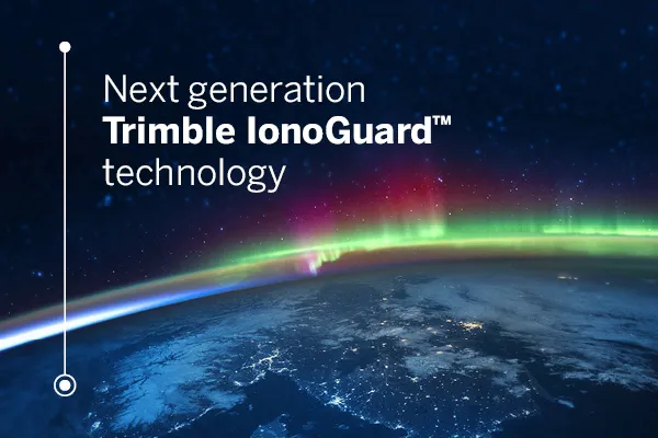
Trimble says that its new IonoGuard system is a next-generation technology designed to mitigate ionospheric disruptions in positioning and navigation. It can help to minimise performance impacts caused by scintillation or signal noise.

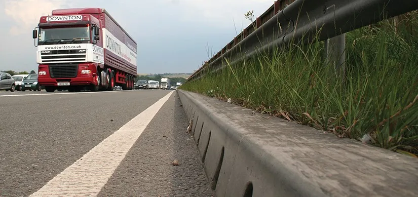
Referred to as solar activity, ionospheric disturbances peak every 11 years. The next major disruption, Solar Cycle 25, is expected to peak between 2024 and 2026. Ionospheric activity can impact the quality of GNSS signals, leading to the degradation of position accuracy. This type of disturbance can impact on high precision GNSS users in equatorial and high latitude regions and global disruptions can happen at the height of the solar cycle.

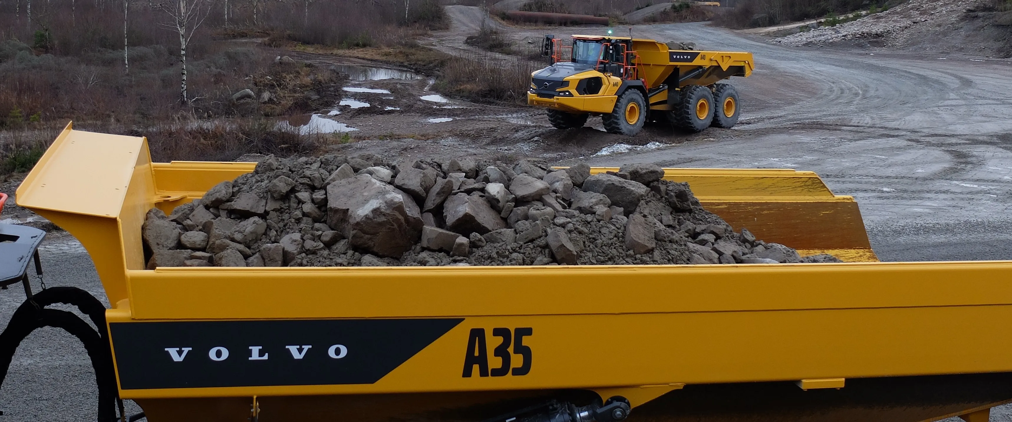
Available as a downloadable firmware update on Trimble GNSS receivers using Trimble ProPoint GNSS positioning, IonoGuard features the latest developments in Trimble’s precision receiver hardware design and signal tracking, improving positioning performance in challenging environments. This will minimise the risk of a complete loss of GNSS signals and boost signal accuracy and integrity. 

For more information on companies in this article

Related Content

  • Better drainage planning with QuAD software
    April 19, 2021
    The QuAD software resilience tool from ACO Water Management allows users to test the efficiency of a proposed maintenance regime for a roadway water channel design.
  • Volvo CE has maintained profitability for 2024
    January 31, 2025
    Volvo CE has maintained strong profitability for 2024
  • More accurate mapping
    July 31, 2024

    Trimble and Radiodetection have established a collaboration to improve the technology used in the utility measurement and mapping process. Through the integration of the Trimble Catalyst DA2 GNSS system and Radiodetection’s RD MapTM+ application and precision locator products, the software and hardware integration streamlines utility-locating workflows. This can provide high-accuracy measurement capabilities for the generation of underground utilities maps in a single field operation. 

  • How data mining and the intelligence it creates is helping sites run more effectively and efficiently
    December 13, 2022
    In this, the third in our series of top-level roundtable discussions led by World Highways, editor Mike Woof and roundtable host Nadira Tudor talk machine control technology with three world-class experts from Leica Geosystems (part of Hexagon), Topcon, and Trimble. There’s never been a more exciting time to be in construction as innovation makes us more productive, more efficient, more sustainable, and better connected. Autonomy means opportunity.