High accuracy positioning

By MJ Woof March 6, 2024 Read time: 1 min
New technology from Trimble can prevent signal distortion caused by solar activity

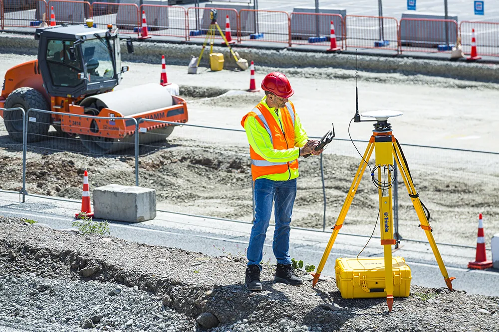
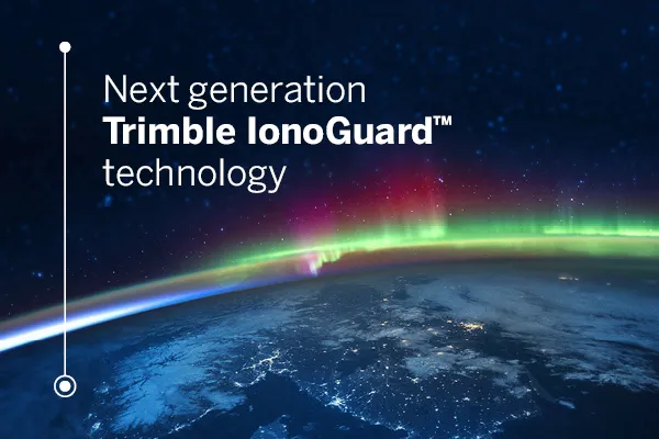
Trimble says that its new IonoGuard system is a next-generation technology designed to mitigate ionospheric disruptions in positioning and navigation. It can help to minimise performance impacts caused by scintillation or signal noise.

Referred to as solar activity, ionospheric disturbances peak every 11 years. The next major disruption, Solar Cycle 25, is expected to peak between 2024 and 2026. Ionospheric activity can impact the quality of GNSS signals, leading to the degradation of position accuracy. This type of disturbance can impact on high precision GNSS users in equatorial and high latitude regions and global disruptions can happen at the height of the solar cycle.

Available as a downloadable firmware update on Trimble GNSS receivers using Trimble ProPoint GNSS positioning, IonoGuard features the latest developments in Trimble’s precision receiver hardware design and signal tracking, improving positioning performance in challenging environments. This will minimise the risk of a complete loss of GNSS signals and boost signal accuracy and integrity. 

For more information on companies in this article

Related Content

  • Precise positioning with Topcon and Vodafone
    September 13, 2022
    Topcon and Vodafone will offer technology for precise positioning.
  • Sophisticated base station receiver
    March 1, 2022
    Trimble has introduced the R750 GNSS Modular Receiver, a connected base station for use in civil construction and geospatial applications. The R750 is said to provide improved base station performance, giving contractors and surveyors more reliable and precise positioning in the field.
  • Positioning tools continue to improve
    July 16, 2012
    Topcon says that its new IP-S2 package combines GNNS positioning capabilities with inertial sensors, while the firm also has a solution for customers wanting to mix and match receiver components. The IP-S2 is a vehicle-mounted, mobile 3D tool that offers precision mapping and surveying capabilities. The package collects data using 3D laser scanners, LIDAR, and/or cameras, and this is then integrated, time-stamped and geo-referenced. The customer can use this assembled data to combine LIDAR point cloud and d
  • GPS guidance delivers accurate machine control
    July 12, 2012
    GPS systems for machine control can make massive reductions in operating costs for contractors. Using GPS systems for machine control can make massive reductions in operating costs for contractors and the pace of technology improvements from manufacturers has been rapid. This market segment is dominated by Leica Geosystems, Trimble and Topcon, all of which introduced an array of new products earlier this year. Topcon's dozer control system first seen in public at the Intermat show in Paris, offers notable c