High accuracy mapping without base stations

Highly accurate UAV mapping can now be achieved without the need for base stations. This development comes from Applanix, part of the Trimble Group.
June 15, 2020 Read time: 2 mins
© Piotr Swat | Dreamstime.com

The POSPac Trimble Post-Processed CenterPoint RTX (POSPac PP-RTX) correction service has been enhanced for use with UAVs flown within Trimble RTX Fast service regions. This is now available on a subscription basis within the latest release of POSPac UAV 8.4, Applanix GNSS-aided inertial post-processing software. The POSPac PP-RTX correction service supports the generation of cm-level position solutions for short duration UAV trajectories without using local base stations. Final data is available within minutes of completing a mission.

POSPac PP-RTX works with the Trimble APX UAV Series of board sets. This GNSS-inertial OEM solution is designed to reduce the cost and improve the efficiency of mapping from small UAVs. The package comprises a single OEM board containing a precision GNSS receiver and inertial sensor components plus post-mission Differential GNSS-inertial office software. The Trimble APX UAV eliminates the need to survey extensive Ground Control Points (GCPs), and reduces the amount of sidelap required to be flown, increasing the area flown/mission.

The POSPac UAV post-processing software processes data logged from the Trimble APX UAV series of board sets. The system can produce accurate position and orientation data from a LiDAR or camera flown onboard a UAV. The POSPac PP-RTX service uses the same data generated by Trimble RTX real-time correction services, which models precise satellite orbit, clock and atmospheric information. The POSPac PP-RTX service is available now through the Applanix sales channels.

For more information on companies in this article

Related Content

  • PTV’s novel traffic analysis system
    April 25, 2013
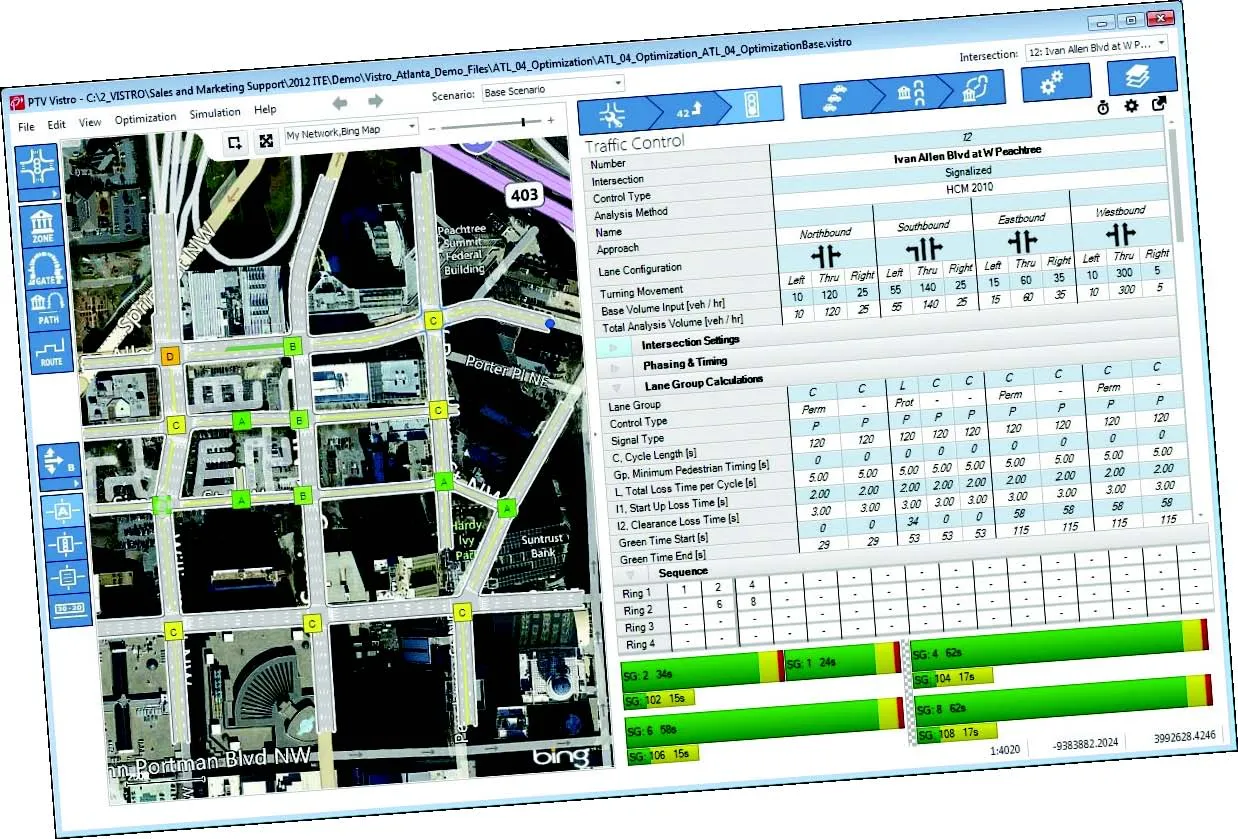
    German traffic analysis consultant and software maker PTV, which produces the well-known Visum and Vissim strategic traffic analysis and micro-simulation tools, has launched a new assessment tool aimed at studying traffic impact of new developments. PTV Vistro is claimed to be the first all-in­ one-solution for transport analysis and signal optimisation, an easy-to-use software that can be used to conduct traffic studies which are often a mandatory part of development applications and planning approvals.
  • A new road maintenance approach developed jointly can improve efficiency
    April 11, 2013
    Innovative road maintenance solutions in Austria. A sophisticated system for managing maintenance tasks has been developed in Austria to meet the specific needs of a highway concession package. Bonaventura Straßenerhaltungs-GmbH is a 100%-owned business of the French company Egis Road Operation S.A., and was founded to provide the road maintenance services of the first Austrian PPP infrastructure project "Ypsilon"(PPP-Ostregion, Paket 1) granted by ASFINAG. The concessionaire won a 30-year contract in 2006
  • Break into machine guidance without breaking the bank
    January 10, 2024

    Watch the video

    You don’t get the name “The Dirt Ninja” without a serious obsession with all things heavy equipment and the technologies empowering what’s next for civil construction. For over a decade, Tom Gardocki, co-owner of New Era Excavation, has commanded hundreds of thousands of views on his YouTube channel—with a description that reads, "Anyone can run equipment, very few can operate.” Well said.

  • Improved excavators from major firms
    January 31, 2022
    New excavators are being offered that offer improved performance over previous generation machines