High accuracy mapping without base stations

Highly accurate UAV mapping can now be achieved without the need for base stations. This development comes from Applanix, part of the Trimble Group.
June 15, 2020 Read time: 2 mins
© Piotr Swat | Dreamstime.com

The POSPac Trimble Post-Processed CenterPoint RTX (POSPac PP-RTX) correction service has been enhanced for use with UAVs flown within Trimble RTX Fast service regions. This is now available on a subscription basis within the latest release of POSPac UAV 8.4, Applanix GNSS-aided inertial post-processing software. The POSPac PP-RTX correction service supports the generation of cm-level position solutions for short duration UAV trajectories without using local base stations. Final data is available within minutes of completing a mission.

POSPac PP-RTX works with the Trimble APX UAV Series of board sets. This GNSS-inertial OEM solution is designed to reduce the cost and improve the efficiency of mapping from small UAVs. The package comprises a single OEM board containing a precision GNSS receiver and inertial sensor components plus post-mission Differential GNSS-inertial office software. The Trimble APX UAV eliminates the need to survey extensive Ground Control Points (GCPs), and reduces the amount of sidelap required to be flown, increasing the area flown/mission.

The POSPac UAV post-processing software processes data logged from the Trimble APX UAV series of board sets. The system can produce accurate position and orientation data from a LiDAR or camera flown onboard a UAV. The POSPac PP-RTX service uses the same data generated by Trimble RTX real-time correction services, which models precise satellite orbit, clock and atmospheric information. The POSPac PP-RTX service is available now through the Applanix sales channels.

For more information on companies in this article

Related Content

  • British Tunnelling Society conference: digging deep for data
    December 13, 2016
    Tunnelling innovation is creating mountains of data for contractors and designers, delegates to a recent British Tunnelling Society (BTS) conference heard Successful innovation in tunnelling techniques and technologies is creating more and more data, thanks to digitalisation.
  • Topcon releases SurveyMaster Lite
    February 13, 2012
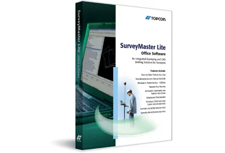
    Topcon Europe Positioning has released SurveyMaster Lite, a new CAD-based desktop application for surveying and job site information editing and plotting. Mark Contino, TPS (Topcon Positioning Systems, Livermore, USA) vice president of product marketing, said: "SurveyMaster Lite is a cost-efficient surveying office software package perfect for the cadastral surveying and construction stakeout professional."
  • Rolls Royce develops its operations
    October 6, 2021
    Rolls-Royce Power Systems is developing its operations with a series of key moves. The firm says it is taking the next step towards a climate-neutral future. By 2030, the Rolls-Royce business unit is to cut greenhouse gas emissions by 35% compared to its 2019 level through the use of new net zero and cero carbon technologies
  • New soil compactor launches from key manufacturers
    May 30, 2013
    Major manufacturers continue to develop new soil compactor models - Mike Woof reports. Innovations in machine design are being seen in the soil compaction sector from a number of major firms. As in other equipment sectors, new engine emissions legislation has played a huge role in driving the latest design changes. Europe, the US and Japan are rolling in the new Tier 4 Final/Stage IV legislation on noise and exhaust emissions which will be phased in across power output classes from the start of January 2014