High accuracy mapping without base stations

Highly accurate UAV mapping can now be achieved without the need for base stations. This development comes from Applanix, part of the Trimble Group.
June 15, 2020 Read time: 2 mins
© Piotr Swat | Dreamstime.com

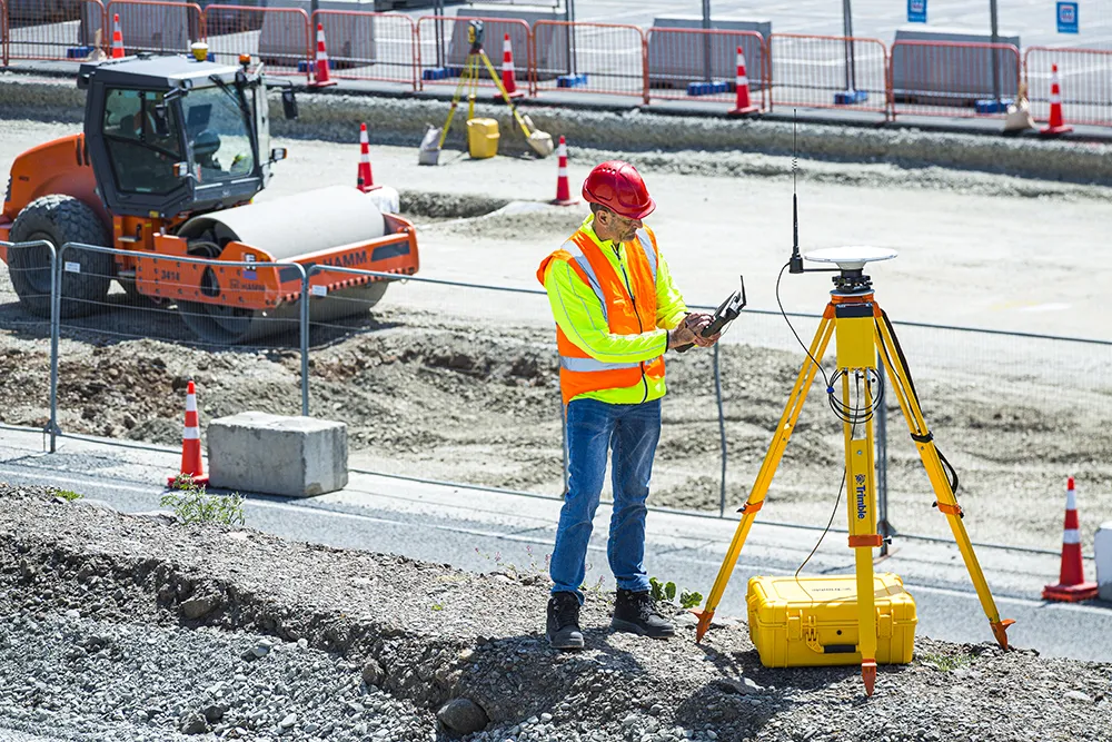
The POSPac Trimble Post-Processed CenterPoint RTX (POSPac PP-RTX) correction service has been enhanced for use with UAVs flown within Trimble RTX Fast service regions. This is now available on a subscription basis within the latest release of POSPac UAV 8.4, Applanix GNSS-aided inertial post-processing software. The POSPac PP-RTX correction service supports the generation of cm-level position solutions for short duration UAV trajectories without using local base stations. Final data is available within minutes of completing a mission.

POSPac PP-RTX works with the Trimble APX UAV Series of board sets. This GNSS-inertial OEM solution is designed to reduce the cost and improve the efficiency of mapping from small UAVs. The package comprises a single OEM board containing a precision GNSS receiver and inertial sensor components plus post-mission Differential GNSS-inertial office software. The Trimble APX UAV eliminates the need to survey extensive Ground Control Points (GCPs), and reduces the amount of sidelap required to be flown, increasing the area flown/mission.

The POSPac UAV post-processing software processes data logged from the Trimble APX UAV series of board sets. The system can produce accurate position and orientation data from a LiDAR or camera flown onboard a UAV. The POSPac PP-RTX service uses the same data generated by Trimble RTX real-time correction services, which models precise satellite orbit, clock and atmospheric information. The POSPac PP-RTX service is available now through the Applanix sales channels.

For more information on companies in this article

Related Content

  • Sophisticated base station receiver
    March 1, 2022
    Trimble has introduced the R750 GNSS Modular Receiver, a connected base station for use in civil construction and geospatial applications. The R750 is said to provide improved base station performance, giving contractors and surveyors more reliable and precise positioning in the field.
  • Laser scanning focuses on asset management
    January 9, 2015
    Laser scanners and improved data collection and analysis software are making light of asset management surveying. David Arminas reports The age of the laser scanner is upon us, taking over from traditional manual methods of surveying, data collection and processing. These new technical developments are making it much easier to process and use the data captured and are providing highways engineers with powerful tools to record, map and visualise their assets. This is good news for highways authorities
  • LiDAR surveying is making inroads into asset management
    December 18, 2017
    In the coming age of the autonomous vehicle, fast and accurate LiDAR surveying will be increasingly important, explains Valdis Vanags. The game-changing introduction of autonomous vehicles relies not only on intelligent traffic systems but well maintained roads to help computer-guided systems navigate using road markings. Laser scanning technology, too, is a game changer when it comes to planning and executing many civil engineering projects, including transport network upgrades and smart city initiatives.
  • Trimble Dimensions 2012 exhibits revolutionising construction technology
    December 14, 2012
    More than 3,500 visitors from 80 countries attending Trimble Dimensions 2012 gained a vital insight into how information technology is revolutionising working practises in, among other fields, heavy civil construction, building construction, surveying, mapping and GIS, and transport and logistics Guy Woodford was among those attending the three-day event at The Mirage hotel in Las Vegas, USA Themed Transform the Way the World Works, Trimble Dimensions 2012 had new hardware and software launches aplenty, as