High accuracy mapping without base stations

Highly accurate UAV mapping can now be achieved without the need for base stations. This development comes from Applanix, part of the Trimble Group.
June 15, 2020 Read time: 2 mins
© Piotr Swat | Dreamstime.com

The POSPac Trimble Post-Processed CenterPoint RTX (POSPac PP-RTX) correction service has been enhanced for use with UAVs flown within Trimble RTX Fast service regions. This is now available on a subscription basis within the latest release of POSPac UAV 8.4, Applanix GNSS-aided inertial post-processing software. The POSPac PP-RTX correction service supports the generation of cm-level position solutions for short duration UAV trajectories without using local base stations. Final data is available within minutes of completing a mission.

POSPac PP-RTX works with the Trimble APX UAV Series of board sets. This GNSS-inertial OEM solution is designed to reduce the cost and improve the efficiency of mapping from small UAVs. The package comprises a single OEM board containing a precision GNSS receiver and inertial sensor components plus post-mission Differential GNSS-inertial office software. The Trimble APX UAV eliminates the need to survey extensive Ground Control Points (GCPs), and reduces the amount of sidelap required to be flown, increasing the area flown/mission.

The POSPac UAV post-processing software processes data logged from the Trimble APX UAV series of board sets. The system can produce accurate position and orientation data from a LiDAR or camera flown onboard a UAV. The POSPac PP-RTX service uses the same data generated by Trimble RTX real-time correction services, which models precise satellite orbit, clock and atmospheric information. The POSPac PP-RTX service is available now through the Applanix sales channels.

For more information on companies in this article

Related Content

  • High performance from Topcon’s HiPer XR
    April 11, 2025

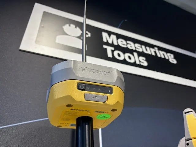
    The HiPer XR, from Topcon Positioning Systems, is a robust high-precision GNSS receiver for surveying, construction and geospatial work. It delivers precision and efficiency, tackling all challenges with RTK accuracy and Dynamic TILT Compensation technology for effortless measurements, even in difficult conditions.

    Its anti-jamming capabilities ensure reliable performance, while the lightweight, rugged design withstands harsh environments. The HiPer XR is about versatile connectivity with long battery life at an affordable price.

  • Growing WIM demand in Russia and South America
    April 4, 2014
    One Eastern European WIM manufacturer is finding commercial success in Russia, while another leading manufacturer is in demand in South America, as Guy Woodford reports Since Czech WIM technology manufacturer Camea secured type approval for its UnicamWIM system in early 2013, the firm has been installing a number of the systems in different Russian regions. These have included two UnicamWIM stations in Novosibirsk, one in the Kostroma region, and another on the M20 Highway between Belarus and Russia.
  • Precision measurements
    February 7, 2012
    Nikon-Trimble is now offering the new Nikon 25mm and 127mm Total Stations, which are said to deliver improved accuracy over previous products.
  • 3D PAVING comes to India and is boosting slipforming efficiency
    December 19, 2016
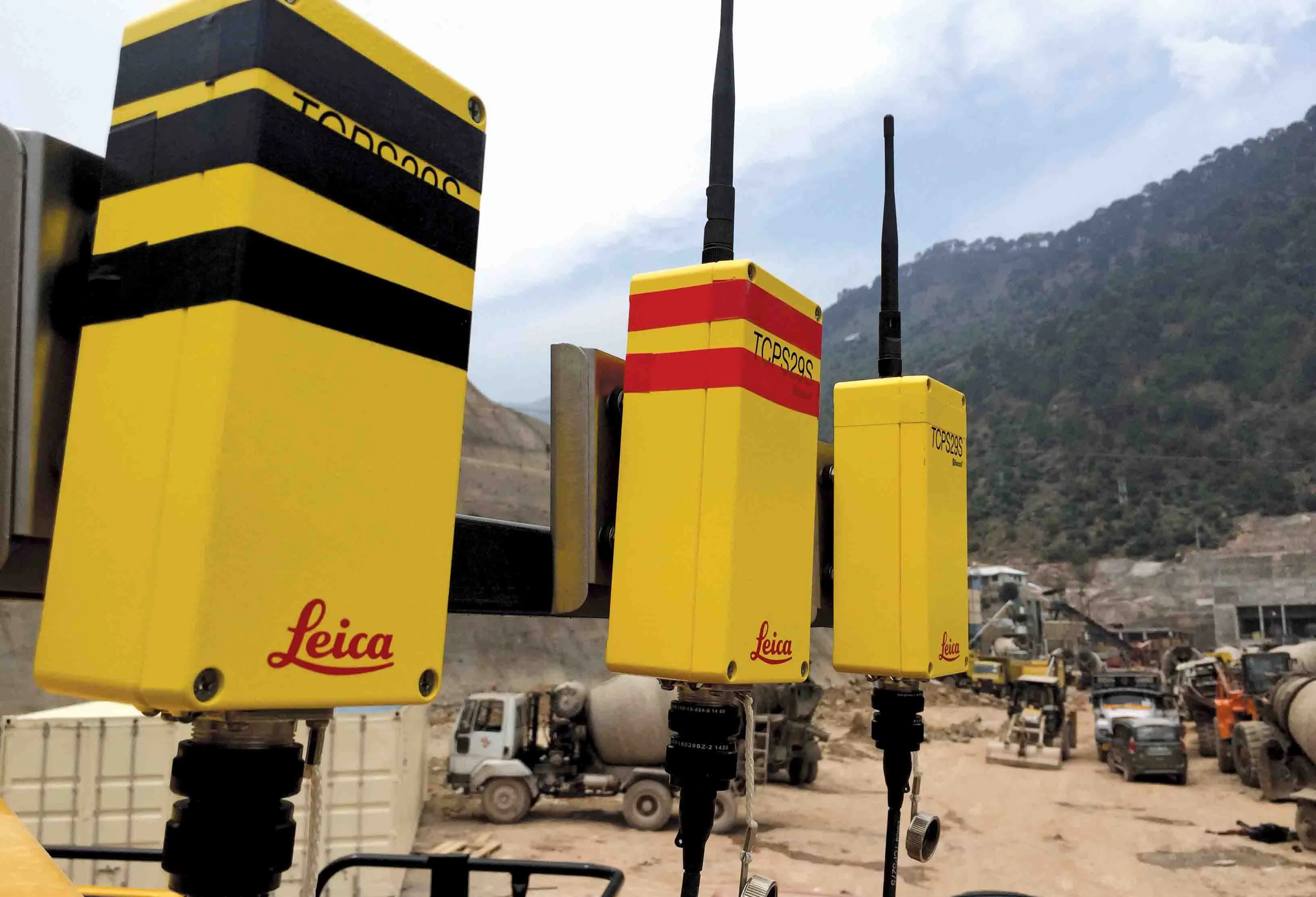
    Situated on India’s northern frontier, the state of Jammu and Kashmir is world-renowned for its aesthetic vistas and captivating landscapes. The arterial roads connecting the city of Jammu to that of Srinagar is a challenge to maintain, being constantly exposed to harsh weather and overburdened with vehicular movement. Leica Geosystems has been involved in the Chenani-Nashri tunnel project, India’s longest road tunnel and which will be part of an alternate route in the region