High accuracy mapping without base stations

Highly accurate UAV mapping can now be achieved without the need for base stations. This development comes from Applanix, part of the Trimble Group.
June 15, 2020 Read time: 2 mins
© Piotr Swat | Dreamstime.com

The POSPac Trimble Post-Processed CenterPoint RTX (POSPac PP-RTX) correction service has been enhanced for use with UAVs flown within Trimble RTX Fast service regions. This is now available on a subscription basis within the latest release of POSPac UAV 8.4, Applanix GNSS-aided inertial post-processing software. The POSPac PP-RTX correction service supports the generation of cm-level position solutions for short duration UAV trajectories without using local base stations. Final data is available within minutes of completing a mission.

POSPac PP-RTX works with the Trimble APX UAV Series of board sets. This GNSS-inertial OEM solution is designed to reduce the cost and improve the efficiency of mapping from small UAVs. The package comprises a single OEM board containing a precision GNSS receiver and inertial sensor components plus post-mission Differential GNSS-inertial office software. The Trimble APX UAV eliminates the need to survey extensive Ground Control Points (GCPs), and reduces the amount of sidelap required to be flown, increasing the area flown/mission.

The POSPac UAV post-processing software processes data logged from the Trimble APX UAV series of board sets. The system can produce accurate position and orientation data from a LiDAR or camera flown onboard a UAV. The POSPac PP-RTX service uses the same data generated by Trimble RTX real-time correction services, which models precise satellite orbit, clock and atmospheric information. The POSPac PP-RTX service is available now through the Applanix sales channels.

For more information on companies in this article

Related Content

  • Digitising roadwork in civil construction with Liebherr
    May 30, 2025
    The construction industry is undergoing significant transformation, driven by rising fuel prices, economic pressure, work safety and lack of qualified operators.
  • Cultivate better on-site safety awareness by leveraging technology with Leica Geosystems
    August 10, 2023
    When a vital fiber-optic cable was cut during construction work in Germany, the impact was huge. There were telecom disruptions affecting the greater Frankfurt area, all departures and landings at Frankfurt Airport were suspended, and Lufthansa’s global IT system crashed. Leica Geosystems says it is vital to put in place “strategies to protect people, equipment, and assets… and to emphasise the crucial role digital solutions play in ensuring safety.”
  • No strings attached: a Wirtgen SP 15i in Mobile
    May 9, 2019
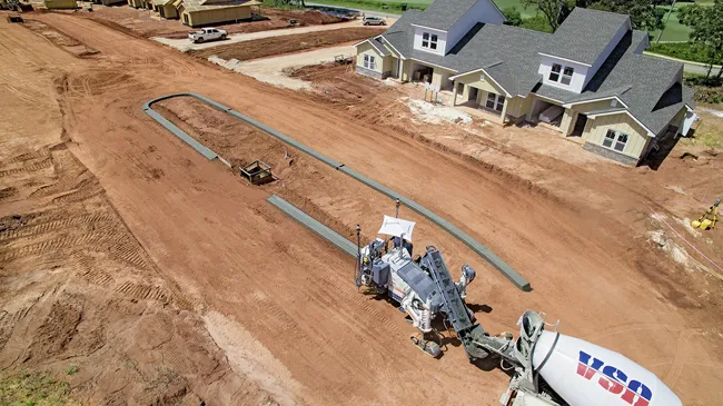
    A Wirtgen slipform paver SP 15i operated fully automatically to produce kerbs near Mobile, in the US state of Alabama, as the company explains. When a new residential area is developed, the individual contract work sections are often very detailed. Roads and paths have to be paved and access roads to the individual plots constructed. Various traffic areas are often separated by concrete structures such as kerbs. These kerbs can be either pre-cast parts or monolithic profiles produced right on the job sit
  • A sophisticated data communications system is offered by Trimble
    January 6, 2017
    Trimble says that its combined device for mobile communications and surveying data collection offers high performance and reliability. Called the Trimble Slate Controller, this rugged new unit is said to combine the convenience and ease-of-use of a smartphone with durability. Optimised for use with the Trimble Access field software and the Trimble R4 GNSS receiver, the Trimble Slate Controller supports a surveyor’s workflows. Offering voice, SMS text, and 3.75G cellular data transfer capabilities on GSM cel