High accuracy mapping without base stations

Highly accurate UAV mapping can now be achieved without the need for base stations. This development comes from Applanix, part of the Trimble Group.
June 15, 2020 Read time: 2 mins
© Piotr Swat | Dreamstime.com

The POSPac Trimble Post-Processed CenterPoint RTX (POSPac PP-RTX) correction service has been enhanced for use with UAVs flown within Trimble RTX Fast service regions. This is now available on a subscription basis within the latest release of POSPac UAV 8.4, Applanix GNSS-aided inertial post-processing software. The POSPac PP-RTX correction service supports the generation of cm-level position solutions for short duration UAV trajectories without using local base stations. Final data is available within minutes of completing a mission.

POSPac PP-RTX works with the Trimble APX UAV Series of board sets. This GNSS-inertial OEM solution is designed to reduce the cost and improve the efficiency of mapping from small UAVs. The package comprises a single OEM board containing a precision GNSS receiver and inertial sensor components plus post-mission Differential GNSS-inertial office software. The Trimble APX UAV eliminates the need to survey extensive Ground Control Points (GCPs), and reduces the amount of sidelap required to be flown, increasing the area flown/mission.

The POSPac UAV post-processing software processes data logged from the Trimble APX UAV series of board sets. The system can produce accurate position and orientation data from a LiDAR or camera flown onboard a UAV. The POSPac PP-RTX service uses the same data generated by Trimble RTX real-time correction services, which models precise satellite orbit, clock and atmospheric information. The POSPac PP-RTX service is available now through the Applanix sales channels.

For more information on companies in this article

Related Content

  • Klimator to monitor Swedish road conditions
    September 14, 2022
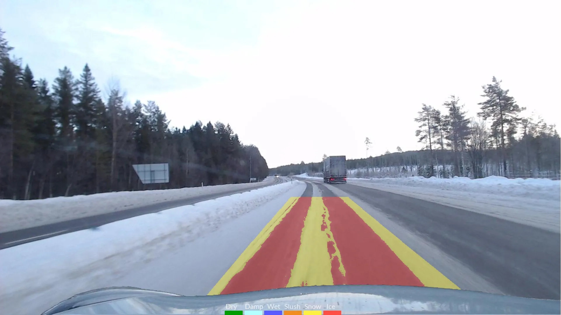
    The project will use Klimator's detection technology called AHEAD which will combine with friction information from floating car data – FCD - to improve the understanding and interpretation of FCD on multiple lanes during winter.
  • Innovations in machine control delivering performance
    May 20, 2019
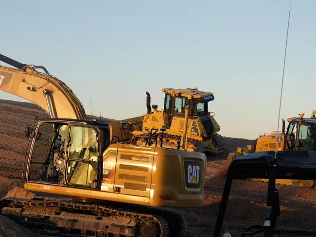
    New innovations in machine control are delivering highperformance, with advances to come showing future potential – Mike Woof writes In transportation, the potential for autonomous vehicles that operate without the need for a human driver is now being evaluated. A string of development projects are underway by an array of automotive and technology companies, sometimes in partnership with each other. In the mining sector, autonomous machines have been operating in underground facilities for 20 years and
  • Market for GPS machine control systems growing fast
    February 14, 2012
    The sector for machine guidance systems is growing fast as contractors become more and more aware of the benefits of using this technology. Increased speed, working accuracy and cost effectiveness are key benefits of this technology, with just three firms, Trimble, Topcon and the Hexagon Group, dominating the market. The Hexagon Group is perhaps the newest entrant to the sector, having acquired Leica Geosystems and Scanlaser in recent years. John Fraser is sales and marketing manager at Scanlaser, and expla
  • Moving the earth with improved environmental credentials
    August 9, 2018
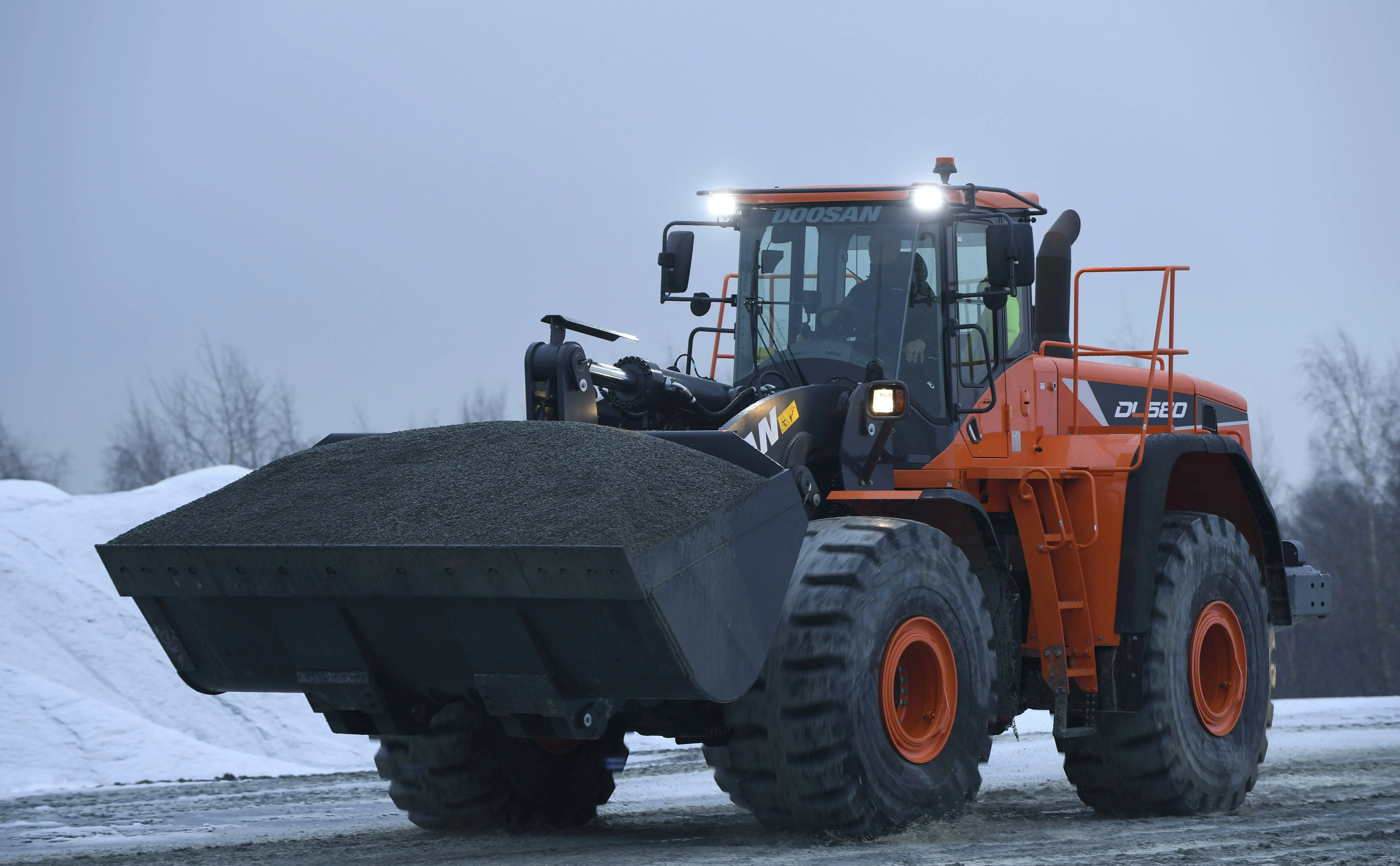
    Driver comfort, more power and improved environmental credentials highlight some of the latest earthmoving equipment Doosan Construction Equipment has launched a new version of the company’s DA30 30tonne class articulated dump truck (ADT), now in a new colour scheme. Most of the changes are for better operator comfort and controllability of the machine. But there are also changes in the driveline and electrical systems. The most important development is an upgrade of the suspension to a hydro-gas self-lev