High accuracy mapping without base stations

Highly accurate UAV mapping can now be achieved without the need for base stations. This development comes from Applanix, part of the Trimble Group.
June 15, 2020 Read time: 2 mins
© Piotr Swat | Dreamstime.com

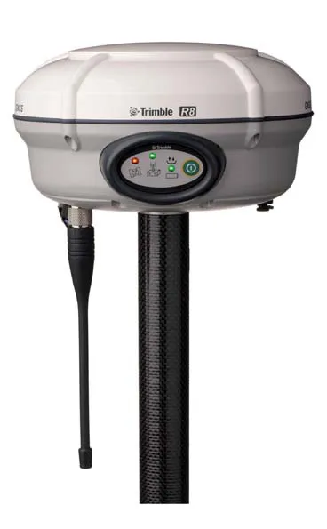
The POSPac Trimble Post-Processed CenterPoint RTX (POSPac PP-RTX) correction service has been enhanced for use with UAVs flown within Trimble RTX Fast service regions. This is now available on a subscription basis within the latest release of POSPac UAV 8.4, Applanix GNSS-aided inertial post-processing software. The POSPac PP-RTX correction service supports the generation of cm-level position solutions for short duration UAV trajectories without using local base stations. Final data is available within minutes of completing a mission.

POSPac PP-RTX works with the Trimble APX UAV Series of board sets. This GNSS-inertial OEM solution is designed to reduce the cost and improve the efficiency of mapping from small UAVs. The package comprises a single OEM board containing a precision GNSS receiver and inertial sensor components plus post-mission Differential GNSS-inertial office software. The Trimble APX UAV eliminates the need to survey extensive Ground Control Points (GCPs), and reduces the amount of sidelap required to be flown, increasing the area flown/mission.

The POSPac UAV post-processing software processes data logged from the Trimble APX UAV series of board sets. The system can produce accurate position and orientation data from a LiDAR or camera flown onboard a UAV. The POSPac PP-RTX service uses the same data generated by Trimble RTX real-time correction services, which models precise satellite orbit, clock and atmospheric information. The POSPac PP-RTX service is available now through the Applanix sales channels.

For more information on companies in this article

Related Content

  • New stringless 3D paving control
    March 6, 2014
    Trimble and GOMACO announced the release of a new stringless 3D paving control solution with CAN-bus integration into GOMACO slipform pavers at Conexpo 2014. Using field-proven Trimble total stations, on-machine positioning sensors and office software, the new Trimble PCS900 Paving Control System allows contractors to pave an accurate and consistent concrete surface with increased productivity and yield. The solution will be sold through GOMACO in North America on new and existing GHP-2800 four-track slipfo
  • Conference focuses on road design software
    February 23, 2012
    Trimble Dimensions 2009 takes a hard look at opportunities in a tough economy If attendance is the standard by which user conferences are measured, then Trimble Dimensions 2009 should be considered a success. The conference, which took place from 23-25 February at the Mirage Hotel in Las Vegas, USA, hosted more than 2,400 attendees, slightly exceeding last year. The strong attendance, in the face of global economic concerns, was seen by Trimble CEO Steven Berglund as a show of support for the company's tech
  • Conference focuses on road design software
    April 12, 2012
    Trimble Dimensions 2009 takes a hard look at opportunities in a tough economy If attendance is the standard by which user conferences are measured, then Trimble Dimensions 2009 should be considered a success. The conference, which took place from 23-25 February at the Mirage Hotel in Las Vegas, USA, hosted more than 2,400 attendees, slightly exceeding last year. The strong attendance, in the face of global economic concerns, was seen by Trimble CEO Steven Berglund as a show of support for the company's tech
  • Made to Measure laser mapping
    June 15, 2012
    Dutch surveying company Geomaat says it is taking millimetre accurate measurements in record time to aid a range of highway design, construction and maintenance projects. Using the mobile laser mapping system StreetMapper, and specially developed point cloud software, Geomaat says it can calculate highly accurate cutting, milling and asphalt figures, create as built models and undertake change detection.