High accuracy mapping without base stations

Highly accurate UAV mapping can now be achieved without the need for base stations. This development comes from Applanix, part of the Trimble Group.
June 15, 2020 Read time: 2 mins
© Piotr Swat | Dreamstime.com

The POSPac Trimble Post-Processed CenterPoint RTX (POSPac PP-RTX) correction service has been enhanced for use with UAVs flown within Trimble RTX Fast service regions. This is now available on a subscription basis within the latest release of POSPac UAV 8.4, Applanix GNSS-aided inertial post-processing software. The POSPac PP-RTX correction service supports the generation of cm-level position solutions for short duration UAV trajectories without using local base stations. Final data is available within minutes of completing a mission.

POSPac PP-RTX works with the Trimble APX UAV Series of board sets. This GNSS-inertial OEM solution is designed to reduce the cost and improve the efficiency of mapping from small UAVs. The package comprises a single OEM board containing a precision GNSS receiver and inertial sensor components plus post-mission Differential GNSS-inertial office software. The Trimble APX UAV eliminates the need to survey extensive Ground Control Points (GCPs), and reduces the amount of sidelap required to be flown, increasing the area flown/mission.

The POSPac UAV post-processing software processes data logged from the Trimble APX UAV series of board sets. The system can produce accurate position and orientation data from a LiDAR or camera flown onboard a UAV. The POSPac PP-RTX service uses the same data generated by Trimble RTX real-time correction services, which models precise satellite orbit, clock and atmospheric information. The POSPac PP-RTX service is available now through the Applanix sales channels.

For more information on companies in this article

Related Content

  • Surveying accurately
    July 18, 2012
    Spectra Precision says that its EPOCH 35 system benefits from the latest GPS and GLONASS technology to provide accurate cadastral, topographic, control and stakeout survey applications. Said to be reliable and cost-effective, the EPOCH 35 GNSS system includes a base, rover, field software, data collector, and radio. The rover features integrated Bluetooth capability, an internal radio modem and battery. For North America, the system operates with the proven TDS Survey Pro field software while for other mark
  • Data accuracy
    February 13, 2012
    Sokkia is introducing the versatile GRX1 system, which includes a fully scalable GNSS receiver, new SHC250 data collector and improved software. The GRX1 GNSS receiver features an integrated antenna, digital UHF radio, GSM module, Bluetooth module and detachable battery. This comes in a compact, rugged, magnesium-alloy body and has fully upgradeable features that allow users to start with an entry model for L1 GPS. This can be upgraded to L1 GPS+GLONASS, to L1/L2 GPS, up to 72-channel L1/L2 GPS+GLONASS rece
  • Accurate utilities detection
    November 26, 2024

    Trimble and Radiodetection are collaborating to improve the technology used in the utility measurement and mapping process. Integrating the Trimble Catalyst DA2 GNSS system and Radiodetection’s RD MapTM+ application and precision locator products helps to streamline utility-locating workflows to provide accurate measurement capabilities and generate underground utilities maps in a single field operation.

  • Efficient stockpile and site monitoring
    October 23, 2017
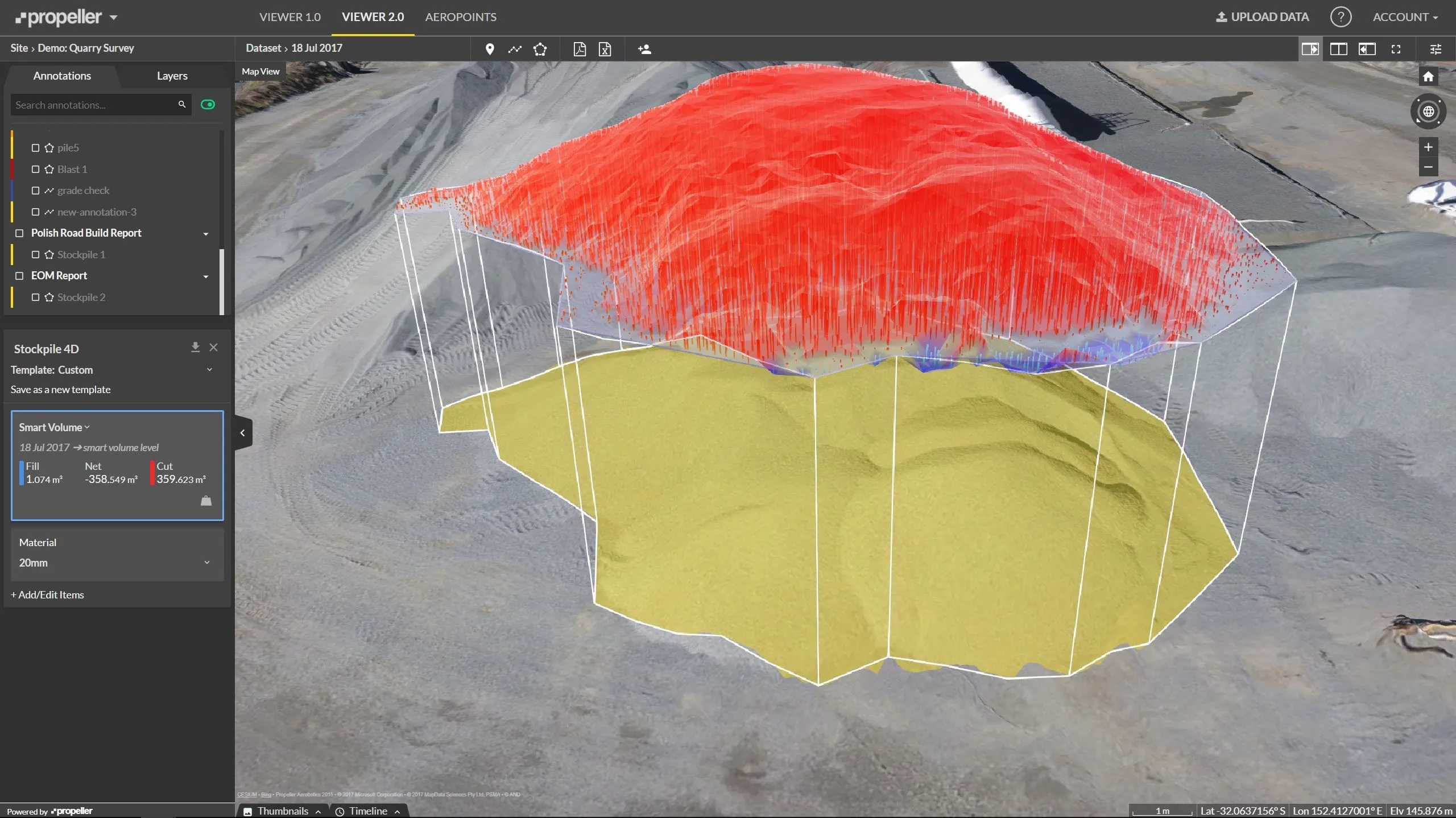
    Effective monitoring of aggregates stockpiles as well as face excavation can deliver greater quarrying efficiency. One of the latest innovations in quarrying is the use of drones, which provide major benefits for optimising operations. The use of affordable drone hardware and software solutions can help reduce stockpile inventory time by as much as 70%. Through the recent partnership between Trimble and Propeller, drone data can now be an everyday tool in quarries by proving a transformational impact