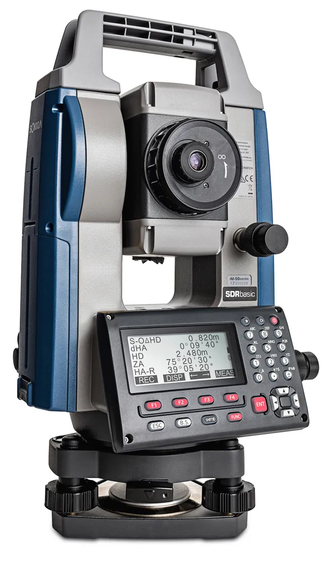
Sokkia has combined its SRX robotic total station with a gyroscope which, the company says, makes it even better for tunnelling, pipeline work, mining and shipbuilding. The Gyro X Gyro Station now has auto-pointing capabilities and a newly equipped image sensor. It finds true north and determines the azimuth with 15" precision regardless of work site environment.

It finds true north and determines the azimuth with 15" precision regardless of work site environment.
By automating processes, human error is eliminated, saving time on the job and reducing operator stress and fatigue. Sokkia claims the Gyro X is simple to operate, with users only needing to point it in an approximate true north direction, before releasing the clamp and pushing the measurement button.
The company says their product’s high accuracy and speed is not restricted by location, weather, time of day, or operator skill.