Geophysical Survey Systems (GSSI), a manufacturer of ground penetrating radar (GPR) equipment, has launched a more affordable version of its non-destructive system, called RoadScan 30.
The system is designed for measuring pavement thickness, conducting base and sub-base evaluations and measuring available asphalt prior to milling operations. Hundreds of miles of pavement layer thickness data can be collected in a day.
RoadScan 30 can collect data densities not obtainable using coring or other labour-i
May 11, 2015
Read time: 2 mins

Geophysical Survey Systems (8095 GSSI), a manufacturer of ground penetrating radar (GPR) equipment, has launched a more affordable version of its non-destructive system, called RoadScan 30.
The system is designed for measuring pavement thickness, conducting base and sub-base evaluations and measuring available asphalt prior to milling operations. Hundreds of miles of pavement layer thickness data can be collected in a day.
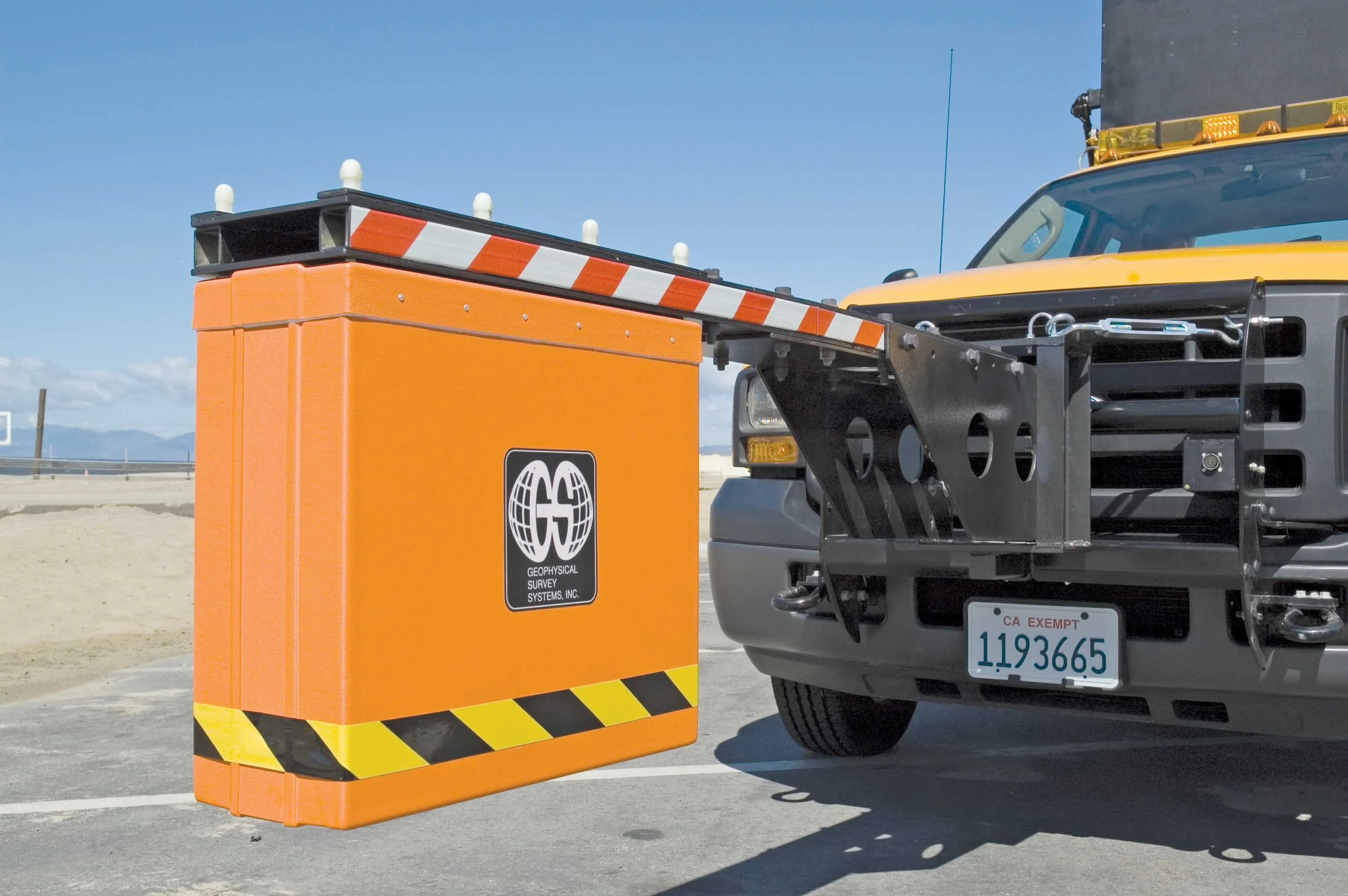
RoadScan 30 can collect data densities not obtainable using coring or other labour-intensive methods. Data can be acquired at highway speeds, eliminating the need for lane closures and providing a safer working environment by keeping crews out of traffic. The system’s road antennas are air-launched at a height of 46cm, so data quality is not affected by rough road conditions.
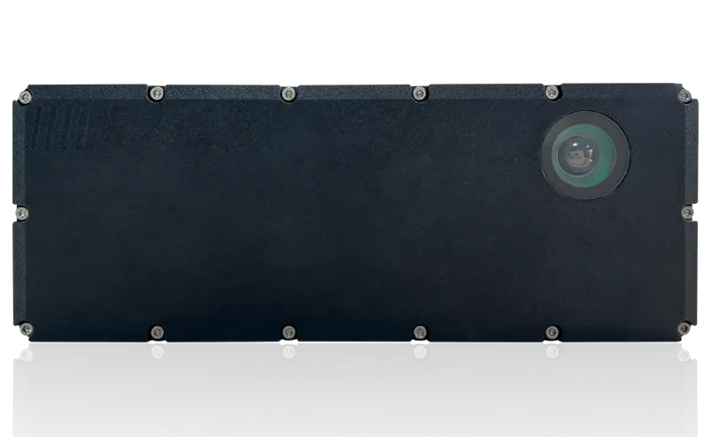
The RoadScan system includes a SIR 30 control unit paired with a 1.0 or 2.0 GHz horn antenna that provides superior data resolution. Additional components include a Smart ID module, a wheel-mounted distance measuring instrument (DMI), 7m control cable, transit case for the control unit, mounting kit and an AC adapter.
The SIR 30 control unit is a configurable multichannel system that operates one to four antennas simultaneously at high speeds. Flexible antenna mounting adapts to most vehicles.
GSSI says the RoadScan system delivers results quickly and efficiently, using ASCII output files for simple data transfer to other software programs. Results can also be output as Google Earth files. The system also features excellent integration with falling weight deflectometers and other devices that evaluate pavement structural capacity.


