
Grade control technology for compact machines

Caterpillar now offers Cat Grade technologies as an aftermarket option to owners of Cat next generation mini hydraulic excavators in the 6-10tonne class range. The systems are available through Cat and Sitech dealers and allow owners to equip machines with Cat Grade with Advanced 2D, or Cat Grade with 3D. The field kit’s modular components allow quick installation, while the technology integrates into the Cat excavator electronics infrastructure.
January 25, 2022 Read time: 2 mins
Caterpillar’s 6-10tonne machines can be fitted with Trimble machine control tools

Both aftermarket grade technologies share similar capabilities with larger Cat excavators operating Cat Grade with Advanced 2D or 3D systems. A separate, high-resolution touchscreen monitor allows operators to view, create and work site designs inside the cab. Automatics deliver simple, single-joystick control over the stick and bucket to maintain grade and avoid overcutting and undercutting.

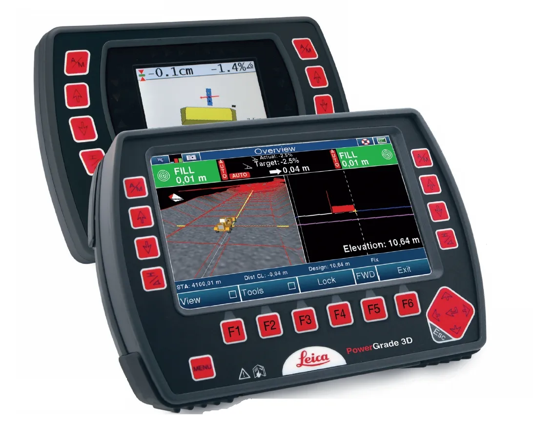
Cat Grade with Advanced 2D uses onboard processors and sensors to deliver real-time bucket tip and elevation guidance on the touchscreen. This allows operators to create and work to basic site designs, while grade design edits can be made in the cab. Field installation of the technology includes the hardware, sensors and dedicated monitor for grade plan creation, editing and viewing.

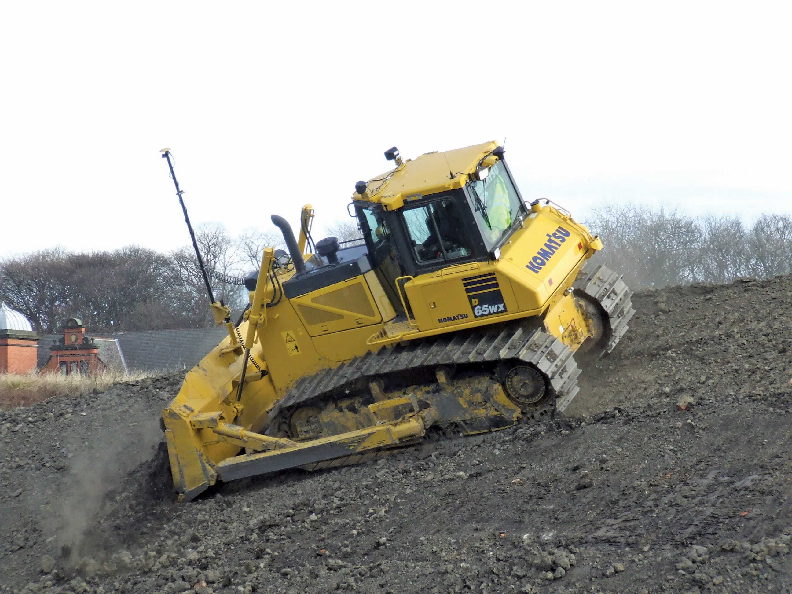
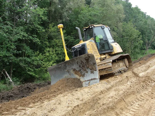
Using GPS and GLONASS systems to pinpoint location, Cat Grade with 3D allows multiple machines to grade to complex jobsite designs. The monitor shows bucket position throughout the digging motion, while height and depth audio alerts indicate when desired grade has been reached to protect from overcutting or undercutting. Beyond the hardware and sensors, including monitor, required for Grade with Advanced 2D, installation of Grade with 3D also requires GNSS receivers and antennas.

Cat Grade technologies help operators reduce the number of passes and shortens the time it takes to complete cuts. Saving costs associated with time, labour, fuel and material consumption, Cat Grade technologies allow companies to reach target grade quickly and lower overall operating costs at the jobsite.

For more information on companies in this article

Related Content

  • Key developments are changing the face of the machine control market
    April 4, 2013
    Various business moves are changing the face of the machine control sector - Mike Woof reports An array of developments, both business moves and new technologies, are changing the focus for the machine control segment of the construction equipment sector. For a long time three firms, Leica Geosystems, Trimble and Topcon, have dominated this segment. The three are retaining their strong positions in the market but are seeing additional competition from Hemisphere and MOBA. Arguably the biggest news is that T
  • Control versatility
    July 2, 2012
    Leica Geosystems says that its CI-14 CAT Interface Module cuts installation time when fitting its 2D & 3D machine control systems to Caterpillar off-highway machines. Using the CI-14 package is said to eliminate the cost and effort of installing add-on hydraulic valves when fitting control tools from Leica Geosystems to Caterpillar K and T Series dozers and M Series graders. The CI-14 system can be used in conjunction with laser, slope, ultrasonic or 3D GPS/GNSS as well as the Leica PowerTracker total stati
  • GPS machine control boosts road surface quality
    February 14, 2012
    The use of GPS machine control on sub-base has improved final rideability on a major highway reconstruction project. Innovative construction techniques have helped to upgrade a 9.6km stretch of the 307km long I-96 highway in the US state of Michigan. The Michigan Department of Transportation (MDOT) project was initiated in the third quarter of 2009 and was completed in the fourth quarter of 2010. Interstate Highway Construction acted as general contractor on the project, which included widening the shoulder
  • Positioning tools continue to improve
    July 16, 2012
    Topcon says that its new IP-S2 package combines GNNS positioning capabilities with inertial sensors, while the firm also has a solution for customers wanting to mix and match receiver components. The IP-S2 is a vehicle-mounted, mobile 3D tool that offers precision mapping and surveying capabilities. The package collects data using 3D laser scanners, LIDAR, and/or cameras, and this is then integrated, time-stamped and geo-referenced. The customer can use this assembled data to combine LIDAR point cloud and d