GPS system for trenching

Mastenbroek has developed a sophisticated GPS-controlled system for use in drainage trenching applications in partnership with Trimble Germany. The package is based on Trimble's Field Level II technology and is said to offer key benefits over existing laser-based technology. Surveying times can be slashed while drainage costs can be cut through more accurate deployment of gravel fill. An on-board computerised touch-screen display records every detail of the job, which can be downloaded for analysis and bill
February 7, 2012 Read time: 2 mins

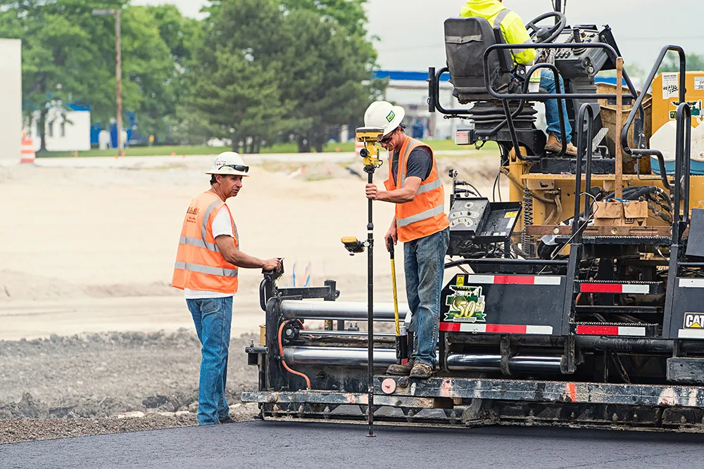
A sophisticated control system allows fast and accurate construction of roadside drainage trenches
2383 Mastenbroek has developed a sophisticated GPS-controlled system for use in drainage trenching applications in partnership with 2122 Trimble Germany.

The package is based on Trimble's Field Level II technology and is said to offer key benefits over existing laser-based technology.

Surveying times can be slashed while drainage costs can be cut through more accurate deployment of gravel fill. An on-board computerised touch-screen display records every detail of the job, which can be downloaded for analysis and billing.

There are other benefits to the GPS, over laser systems. There is no need for regular calibration and there are no issues arising from dust, rain, fog or other weather conditions. The system has undergone extensive field trials over the last year in a variety of site conditions and with a number of operators and surveyors.

Mastenbroek will continue to offer existing laser technology with its trenching equipment. But GPS affords greater accuracy and Mastenbroek believes the new system will rapidly gain market acceptance.

On recent trials field surveying times were shown to be markedly lower than with comparative laser systems taking, in once instance, two hours instead of two working days. Survey work was carried out using a GPS system mounted on a quad-bike to produce a three-dimensional map. The system plans the depth of each run of pipe, which is followed in real time by the trencher operator with no need to carry out calculations in the office. All of the information gained from the survey is immediately at hand to the trencher operator on a touch-screen interface located within the cab.

For more information on companies in this article

Related Content

  • Data collection key to software developments
    February 13, 2012
    The collection and handling of data are key technology drivers in the software sector. New methods of data collection and manipulation are driving significant developments in software at present. The latest technology allows designers and engineers to collect, store and manipulate ever larger amounts of data. Growing use of mobile field equipment for both data collection and field management is driving interactive systems. And in an interview this month Autodesk senior vice-president for the construction an
  • Sophisticated asphalt paving control technology
    July 27, 2020
    Advances in asphalt paving control systems are helping contractors deliver higher efficiency
  • Trimble offers machine control tool for compact equipment
    June 27, 2012
    The Spectra Precision Laser DDS300 Depth Display System is Trimble’s new laser-referenced grade control solution designed for compact machines. The DDS300 version 3.0 is said by Trimble to be an environmentally-rated control box that boosts productivity of mini-excavators and backhoe loaders during excavation and trenching work. Cable-free components, simple installation and an affordable price are said to make the DDS300 system ideal for contractors who want to improve accuracy, fuel usage and safety of th
  • Proper GPR Surveying Techniques
    May 10, 2019
    A sustainably good road surface often depends on how well understood is the ground underneath the road’s route. Brian Jones* offers some best practice and advice for getting the most from ground-penetrating radar investigations Ground-penetrating radar (GPR) is one of the most accurate non-destructive testing (NDT) methods available. To get the most from GPR surveying, it is absolutely essential to understand how GPR tools work and follow best practices when conducting surveys. Key areas to be aware o