Free flight planner app for HCSS Aerial

The HCSS Aerial: Drone Mission app works with most drones to capture high-resolution images.
By David Arminas April 9, 2021 Read time: 2 mins
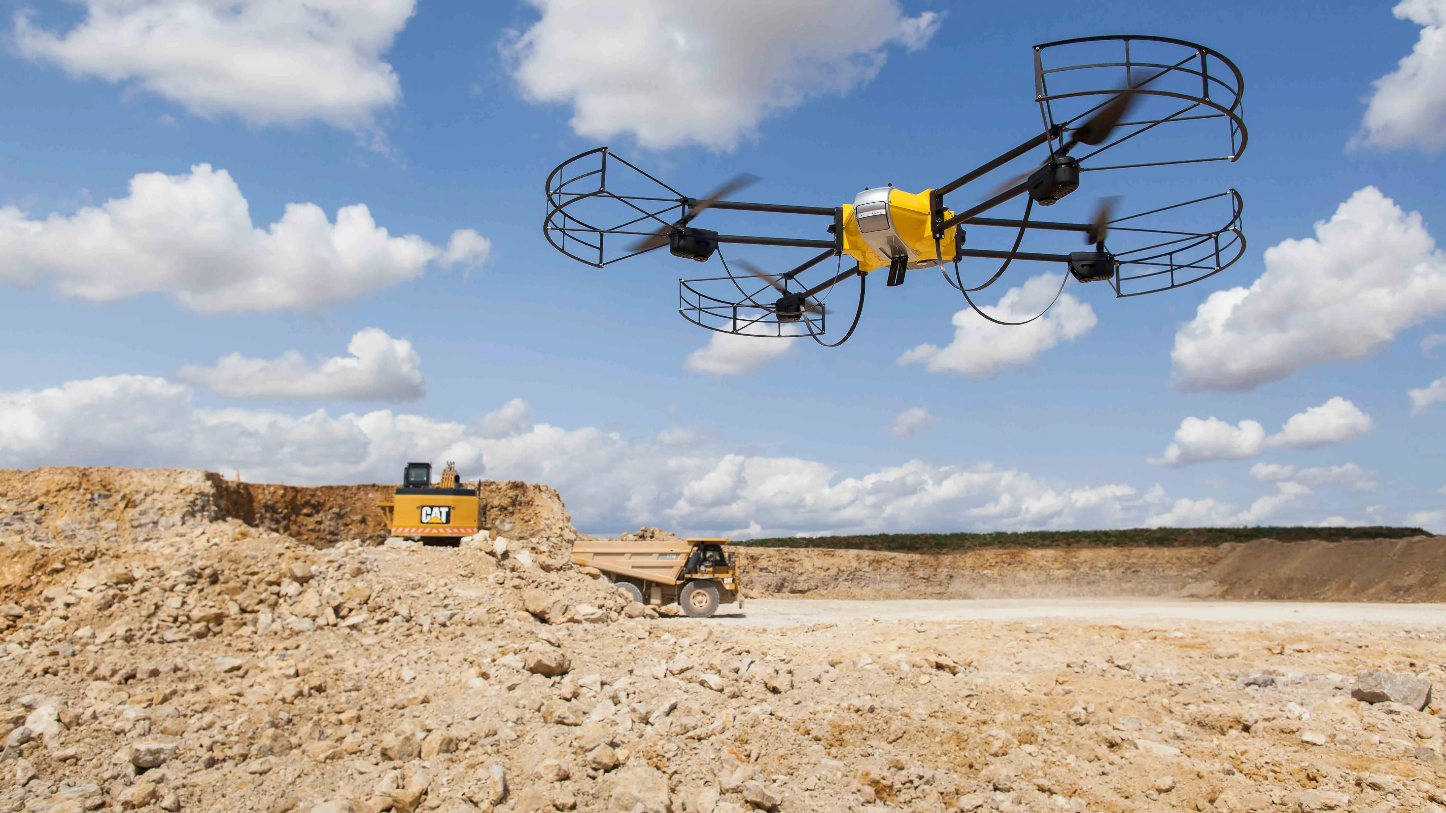
The smart app allows companies to set up a fully-automated flight plan to be executed over the length of a construction project (image courtesy HCSS)

HCSS says that its HCSS Aerial, a software-as-a-service drone-based analytics platform, now has a free smart app.

The app, HCSS Aerial: Drone Mission, can be paired with any drone, according to HCSS, based in the US state of Texas and which develops software to help construction companies streamline operations, including estimating and fleet management. It captures high-resolution images of construction job sites, analyses job progress, calculates earthwork volumes, performs safety inspections and more.

"Our new free, user-friendly application works in conjunction with the main drones available in the market,” said JP Giometti, executive director for global strategy and corporate development at HCSS. “The app is specifically designed for professional surveying, heavy civil construction and infrastructure project mapping. HCSS Aerial: Drone Mission allows you to get professional drone images with just a few taps and swipes on your iPad."

The smart app allows companies to set up a fully-automated flight plan to be executed over the length of a construction project. During the flight, drone operators see real-time images and gather data to make more informed decisions. Back in the office, high-resolution images from the drone’s memory card can be uploaded to hcss-aerial.com for analysis and further data to check the project's progress.

The app has smart settings for safe and successful missions, every time with auto-fly home when the drone, controller or iPad battery runs low. Maximum distances and flight height ranges can be set. The image resolution can be chosen and whether stationary or motion photos are needed.

Efficient image capture per mission-type available, including images in vertical mode (bird's eye view) within a defined area, images along an elongated path such as a road or railway in vertical mode as well as images at an angle while circling the object of interest - effective for 3D modeling.

There is easy flight definition by tapping or dragging to draw an area of interest onto a map or draw polygons on Google Earth and then upload the KML/KMZ files to the HCSS Aerial app. The app determines the drone's flight path within the area based on these settings. Flight duration, distance, images and required memory and batteries are auto-calculated to help prepare for a successful flight.

To download the free app, click here.

For more information on companies in this article

Related Content

  • Airware acquires drone data analytics provider Redbird
    September 23, 2016
    Airware, a commercial drone solutions provider, has acquired Redbird, a France-based pioneer in drone data analytics that has been working closely with Caterpillar. Redbird focuses on the mining, quarrying, and construction industries through sophisticated geospatial analytics which will be integrated into the Airware Aerial Information Platform. This will give customers the combined power of Redbird's industry-specific analytics and Airware's enterprise-focused workflow, compliance, and security feature
  • Texo flying high in the UK with a Topcon Falcon 8+ UAV
    July 3, 2018
    Texo Drone Survey and Inspection says that it is the first company in the UK to fly the Falcon 8+ UAV system from Topcon. The multicamera payload Topcon Falcon 8+ is the third-generation edition of the Falcon Drone system that was introduced in 2009 for aerial imaging, monitoring and mapping. The Topcon Falcon 8+ needs minimal pilot corrections while its GCS includes built-in automated flight functions. There is also advanced flight planning thanks to the Intel Cockpit Controller.
  • Efficient stockpile and site monitoring
    October 23, 2017
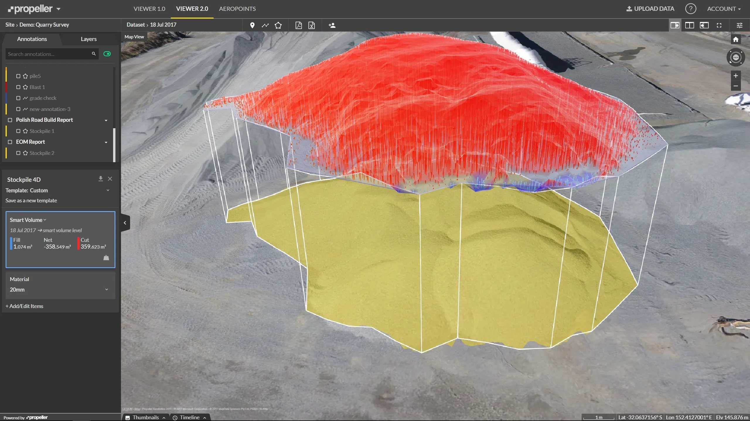
    Effective monitoring of aggregates stockpiles as well as face excavation can deliver greater quarrying efficiency. One of the latest innovations in quarrying is the use of drones, which provide major benefits for optimising operations. The use of affordable drone hardware and software solutions can help reduce stockpile inventory time by as much as 70%. Through the recent partnership between Trimble and Propeller, drone data can now be an everyday tool in quarries by proving a transformational impact
  • Semi-Autonomous Operations Remove Site Risk for Brazilian Contractor’s Crew, Without Missing a Beat on the Jobsite
    February 28, 2022
    Remote operation keeps machine operators out of harm’s way, enabling advanced action in any environment