Fast field data collection

Trimble's sophisticated TSC3 controller is designed to allow surveyors and geospatial professionals to collect, share and deliver data. This unit is said to improve accuracy, efficiency and productivity between the field and office and is designed to be used with the Trimble Access software. The TSC3 controller offers fast and reliable data collection, computing and connectivity capabilities and provides multiple functions in a single handheld device. The unit incorporates a digital camera, integrated commu
February 10, 2012 Read time: 2 mins
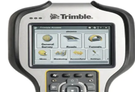
2122 Trimble's sophisticated TSC3 controller is designed to allow surveyors and geospatial professionals to collect, share and deliver data. This unit is said to improve accuracy, efficiency and productivity between the field and office and is designed to be used with the Trimble Access software. The TSC3 controller offers fast and reliable data collection, computing and connectivity capabilities and provides multiple functions in a single handheld device. The unit incorporates a digital camera, integrated communications as well as a GPS navigator, compass and accelerometer.

Using this device, surveyors can include on-site photos in surveys, communicate efficiently between field and office and streamline stakeout activities. The durable Trimble TSC3 controller has a high-resolution, sunlight-readable touchscreen display, integrated Wi-Fi and Bluetooth wireless capabilities and long battery life. Users can also choose either a QWERTY or ABC alphanumeric keyboard.

Delivered with Trimble Access software installed as well as the capability to run third-party applications on the Windows platform, the TSC3 is a comprehensive data collection solution for the survey industry. The Trimble TSC3 controller has wireless Internet connectivity through either the integrated GSM/GPRS modem or Wi-Fi. Data collection, processing, analysis, and delivery duties are said to be faster and more efficient.

For more information on companies in this article

Related Content

  • Klimator to monitor Swedish road conditions
    September 14, 2022
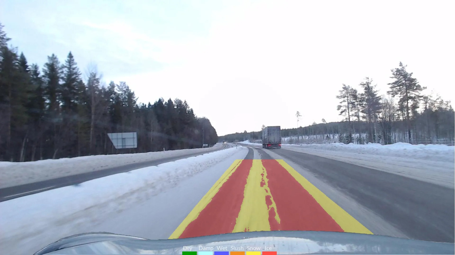
    The project will use Klimator's detection technology called AHEAD which will combine with friction information from floating car data – FCD - to improve the understanding and interpretation of FCD on multiple lanes during winter.
  • Yotta upgrades asset management package
    May 19, 2015
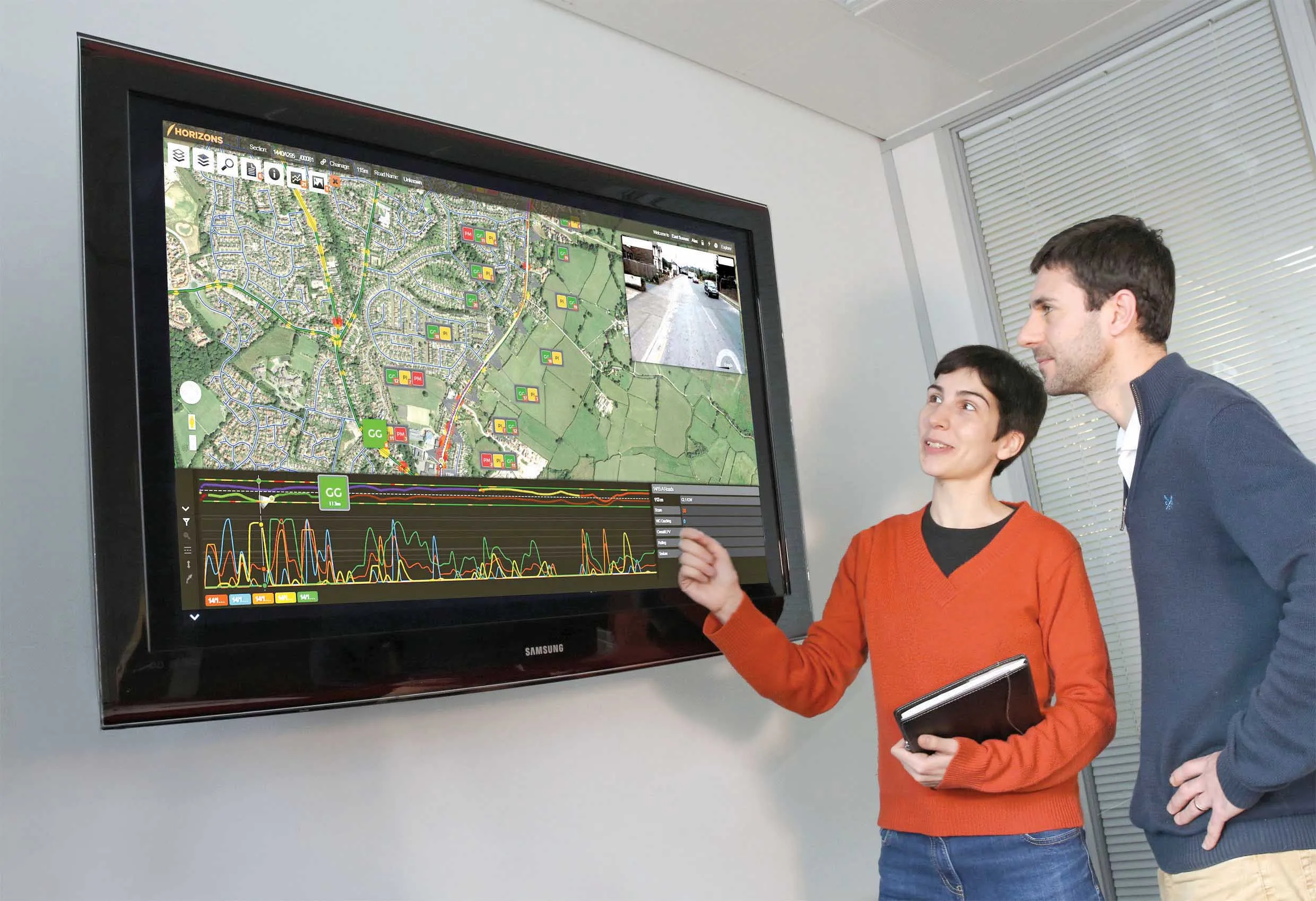
    Yotta is now offering the latest version of its Horizons visualised asset management platform. Version 2.6 of the package is said to provide a better user experience with improved visualisation. The latest version of the cloud-based solution also offers improved transparency with upgraded reporting providing clear and auditable work trails. Users of Horizons 2.6 can now directly link documents and images in Horizons, improving access to detailed information about a specific asset through the use of phot
  • Airware acquires drone data analytics provider Redbird
    September 23, 2016
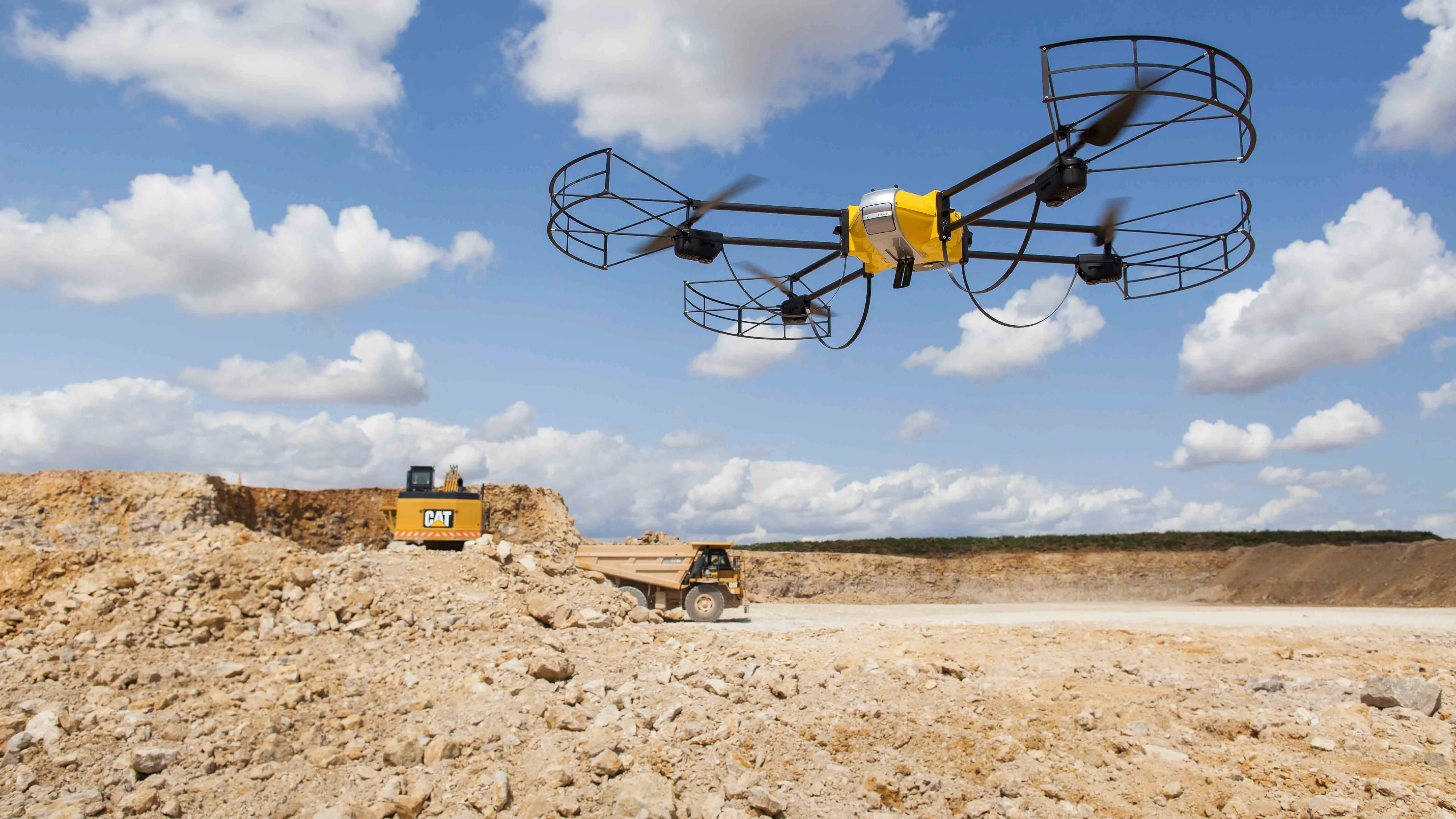
    Airware, a commercial drone solutions provider, has acquired Redbird, a France-based pioneer in drone data analytics that has been working closely with Caterpillar. Redbird focuses on the mining, quarrying, and construction industries through sophisticated geospatial analytics which will be integrated into the Airware Aerial Information Platform. This will give customers the combined power of Redbird's industry-specific analytics and Airware's enterprise-focused workflow, compliance, and security feature
  • Versatile traffic camera to boost safety
    August 14, 2017
    Siqura is offering the TrafficPTZ Ultimo, a Pan Tilt Zoom camera that is said to be optimised to meet traffic and infrastructure demands. A nove feature is the embedded processing, which allows third party application software such as analytics to run on it. The unit is claimed to be an all-IP camera with a robust design that features fast and accurate positioning. It also has no backlash, a large zoom lens and is easy to install. The camera responds automatically to information from roadside sensors such a