Fast field data collection

Trimble's sophisticated TSC3 controller is designed to allow surveyors and geospatial professionals to collect, share and deliver data. This unit is said to improve accuracy, efficiency and productivity between the field and office and is designed to be used with the Trimble Access software. The TSC3 controller offers fast and reliable data collection, computing and connectivity capabilities and provides multiple functions in a single handheld device. The unit incorporates a digital camera, integrated commu
February 10, 2012 Read time: 2 mins
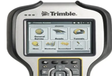
2122 Trimble's sophisticated TSC3 controller is designed to allow surveyors and geospatial professionals to collect, share and deliver data. This unit is said to improve accuracy, efficiency and productivity between the field and office and is designed to be used with the Trimble Access software. The TSC3 controller offers fast and reliable data collection, computing and connectivity capabilities and provides multiple functions in a single handheld device. The unit incorporates a digital camera, integrated communications as well as a GPS navigator, compass and accelerometer.

Using this device, surveyors can include on-site photos in surveys, communicate efficiently between field and office and streamline stakeout activities. The durable Trimble TSC3 controller has a high-resolution, sunlight-readable touchscreen display, integrated Wi-Fi and Bluetooth wireless capabilities and long battery life. Users can also choose either a QWERTY or ABC alphanumeric keyboard.

Delivered with Trimble Access software installed as well as the capability to run third-party applications on the Windows platform, the TSC3 is a comprehensive data collection solution for the survey industry. The Trimble TSC3 controller has wireless Internet connectivity through either the integrated GSM/GPRS modem or Wi-Fi. Data collection, processing, analysis, and delivery duties are said to be faster and more efficient.

For more information on companies in this article

Related Content

  • Trimble Compaction Control System helps rollers share information in real-time
    April 23, 2015
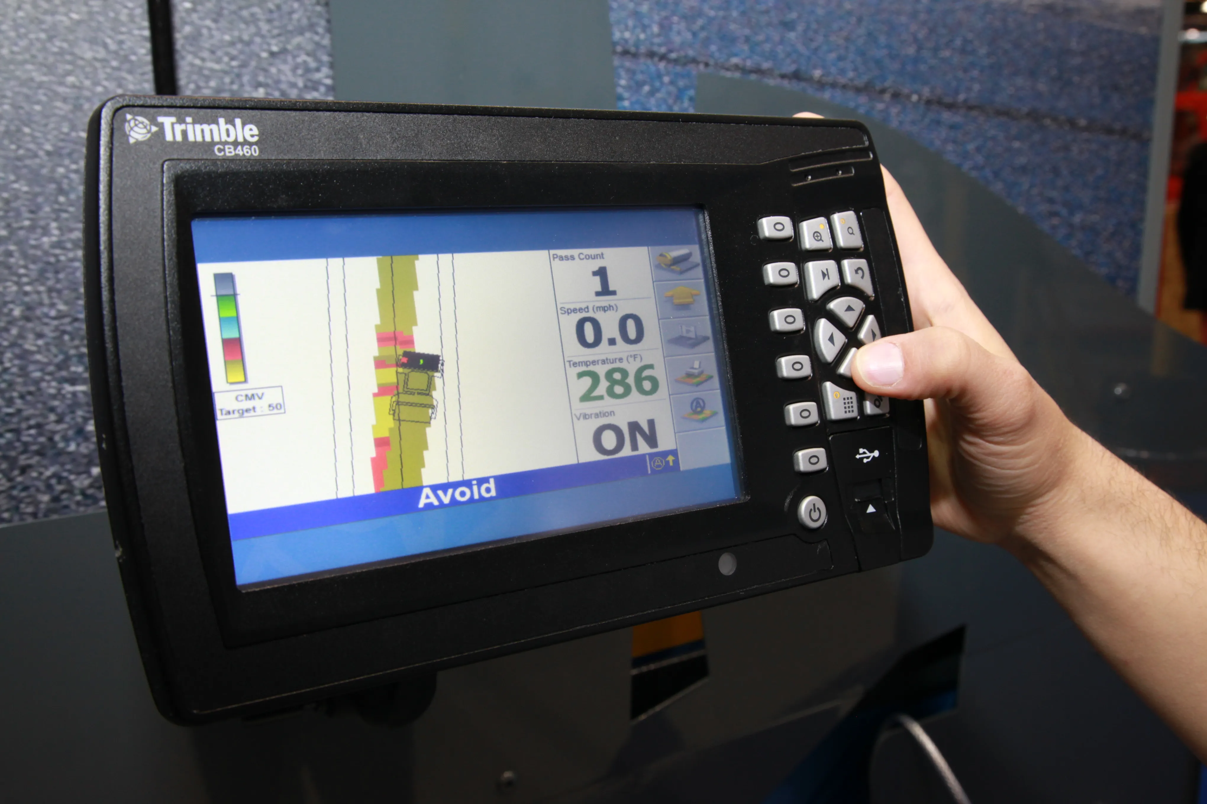
    Rollers working in tandem will avoid duplicating passes with new Trimble CCS900 Compaction Control System. “With this system, the compactor operators share information at a new level,” said Dwayne Rosie, software sales engineer with the Heavy Civil Construction Division. “The colour mapping on the screen can be transferred from one machine’s screen to the other.” The transfer is done in real-time, meaning each operator knows what area the other has covered. “It’s important on many jobsites, including thos
  • Leica Geosystems’ tools for site monitoring and handling GPR data
    October 11, 2017
    Leica Geosystems is offering new tools for construction firms for remote monitoring and for handling data from ground penetrating radar. With the GeoMoS Imaging package, users can stay up-to-date on remote monitoring; the live view allows observation and recording of areas of interest. A joystick provides remote access to the total station so that personnel can increase productivity and reduce time in the field.
  • Monitoring software update from Trimble
    November 15, 2019
    Trimble is offering an updated version of its real-time monitoring software, the 4D Control package. This Version 5.0 upgrade offers new features that allow users to streamline real-time structural monitoring system deployment as well as simplify the connection to geotechnical sensors. Trimble 4D Control software allows project stakeholders to monitor critical infrastructure such as dams and bridges along with buildings surrounding construction sites and tunnels.
  • Supergeo offers GIS training tool
    April 27, 2015
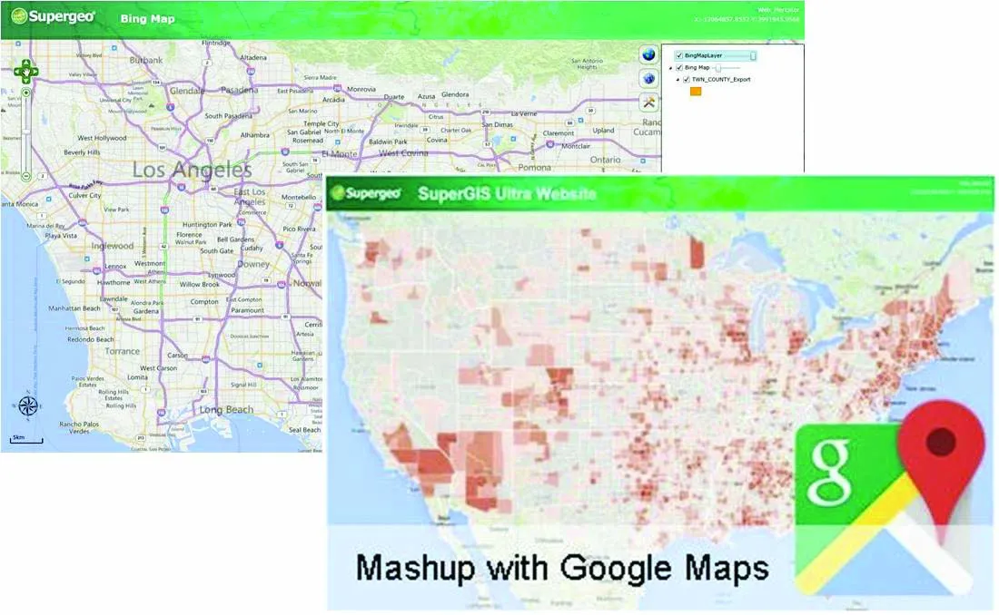
    Supergeo Technologies says that its latest packages offer effective training for both GIS users and non-GIS professionals, as well as new tools for sharing geospatial data. The training offering comes in the shape of free online courses with extensive learning materials. The firm says that it is a leader in the field with its state-of-the-art GIS technology and is able to assist personnel from various industries to address different tasks with spatial information. A comprehensive series of online course