Excavator guidance system from Leica Geosystems

Leica Geosystems is now offering a new iCON iXE solution aimed at boosting the versatility of excavators. The package allows the tilt function on a tilt rotator to be handled automatically, increasing versatility and accuracy. This new package can be used on excavators equipped with 2D or 3D excavator guidance solutions from Leica Geosystems and tilt rotators supported by SVAB Quantum. The iXE CoPilot package means that the tilt will automatically be adjusted so it is held parallel to the surface as the o
March 12, 2018 Read time: 2 mins
Leica Geosystems is now offering a new iCON iXE solution aimed at boosting the versatility of excavators. The package allows the tilt function on a tilt rotator to be handled automatically, increasing versatility and accuracy.


This new package can be used on excavators equipped with 2D or 3D excavator guidance solutions from 265 Leica Geosystems and tilt rotators supported by SVAB Quantum. The iXE CoPilot package means that the tilt will automatically be adjusted so it is held parallel to the surface as the operator pulls in the excavator arm.  

“We have developed this new function for three reasons,” said Marcus Grevelshøj, product specialist for excavating and wheeled loader solutions at Leica Geosystems. “First, to improve the productivity of experienced excavator operators using tilt rotator attachments; next, to decrease the learning curve of less experienced operators; and finally, to decrease fatigue and stress for all operators as they operate a large machine like an excavator.”

The automatic tilt function for SVAB Quantum is now available on all Quantum platforms, and former versions of Machine Control System (MACS) platforms can be updated to support the functionality. Tiltrotator brands supported by Quantum and Leica iCON iXE22D solution and Leica iCON iXE3 3D solution will have the possibility to connect to the function.

“This new functionality is totally in line with our strategy of creating more efficient and innovative solutions for how to control an excavator,” said Fredrik Eriksson, CEO, SVAB. “Our latest platform Quantum together with Leica Geosystems products give us possibilities to add new dimensions on how to operate an excavator.”

For more information on companies in this article

Related Content

  • Machine guidance system aids asphalt runway construction
    July 16, 2012
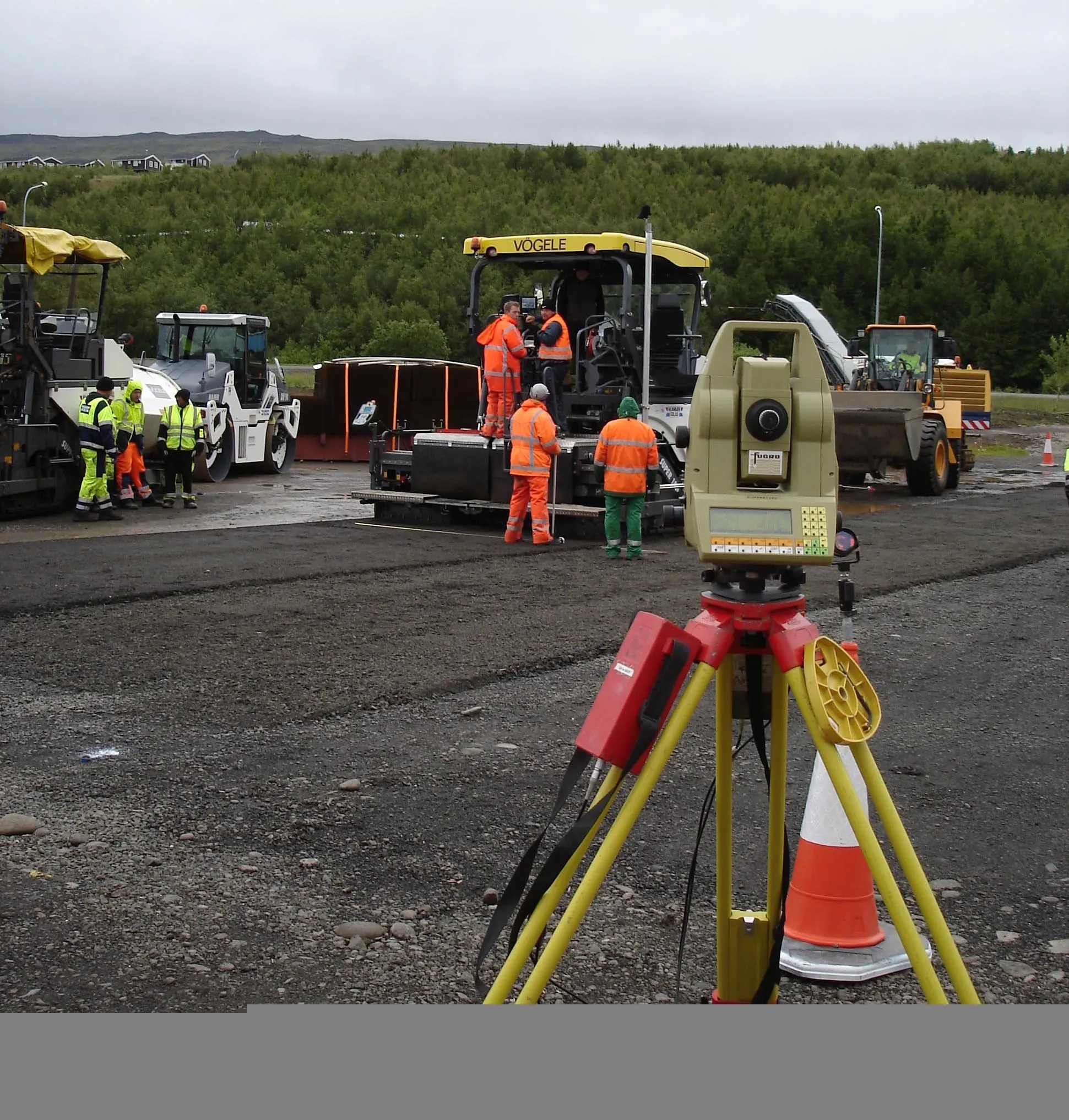
    Automatic 3D machine guidance is a highly sophisticated area and a high level of expertise is often required to ensure applications of the advanced technologies work as desired. Fugro is a specialist firm that has gained experience using 3D guidance tools over many years and for certain tricky projects, Hexagon, the parent of Leica Geosystems, has turned to Fugro for assistance. For one difficult job in particular, Fugro's specialists were brought in at the request of an Icelandic contractor. The project ca
  • Emphasis on the new at record-breaking World of Asphalt 2013 & AGG1
    February 21, 2013
    The 2013 World of Asphalt and AGG1 expositions taking place March 19-21 in San Antonio, Texas are on course to be sold out by opening day, setting new records for exhibitor numbers and attendees. Guy Woodford discovers that major construction industry manufacturers will be highlighting new as well as established machine models in their exhibits at the co-located events Covering more than 10,870m² of exhibit space, attendees at the 2013 World of Asphalt and AGG1 shows can expect to find a huge line-up of new
  • Liebherr’s high efficiency wheeled loaders
    January 15, 2016
    Liebherr’s new wheeled loaders are said to combine high performance with high efficiency – Mike Woof writes Liebherr makes bold claims for its new wheeled loader range, saying that the latest models will offer unparalleled operating efficiency. High performance with fast cycle times are said to be matched with precise control at low speeds as well as low fuel consumption and running costs.
  • Sophisticated scanning tool from Leica Geosystems
    November 8, 2017
    A new laser scanning tool from Leica Geosystems offers accurate and fast 3D imaging laser scanning capabilities. The Leica BLK360 is said to be compact and easy to use, offering powerful spherical image capture duties. The firm says that the unit allows professionals to capture 360° imagery within minutes.