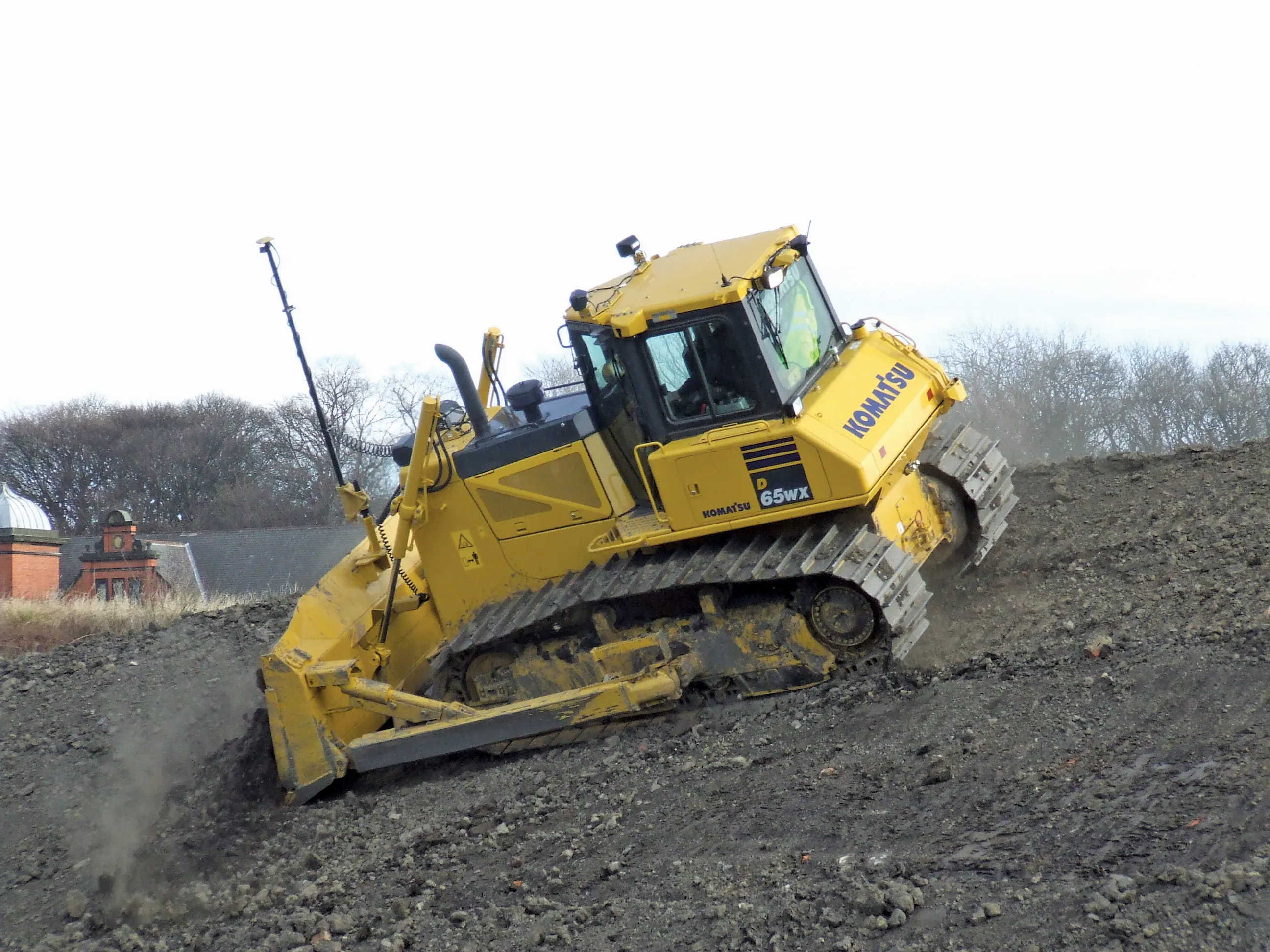
Excavator guidance system from Leica Geosystems

Leica Geosystems is now offering a new iCON iXE solution aimed at boosting the versatility of excavators. The package allows the tilt function on a tilt rotator to be handled automatically, increasing versatility and accuracy. This new package can be used on excavators equipped with 2D or 3D excavator guidance solutions from Leica Geosystems and tilt rotators supported by SVAB Quantum. The iXE CoPilot package means that the tilt will automatically be adjusted so it is held parallel to the surface as the o
March 12, 2018 Read time: 2 mins
Leica Geosystems is now offering a new iCON iXE solution aimed at boosting the versatility of excavators. The package allows the tilt function on a tilt rotator to be handled automatically, increasing versatility and accuracy.


This new package can be used on excavators equipped with 2D or 3D excavator guidance solutions from 265 Leica Geosystems and tilt rotators supported by SVAB Quantum. The iXE CoPilot package means that the tilt will automatically be adjusted so it is held parallel to the surface as the operator pulls in the excavator arm.  

“We have developed this new function for three reasons,” said Marcus Grevelshøj, product specialist for excavating and wheeled loader solutions at Leica Geosystems. “First, to improve the productivity of experienced excavator operators using tilt rotator attachments; next, to decrease the learning curve of less experienced operators; and finally, to decrease fatigue and stress for all operators as they operate a large machine like an excavator.”

The automatic tilt function for SVAB Quantum is now available on all Quantum platforms, and former versions of Machine Control System (MACS) platforms can be updated to support the functionality. Tiltrotator brands supported by Quantum and Leica iCON iXE22D solution and Leica iCON iXE3 3D solution will have the possibility to connect to the function.

“This new functionality is totally in line with our strategy of creating more efficient and innovative solutions for how to control an excavator,” said Fredrik Eriksson, CEO, SVAB. “Our latest platform Quantum together with Leica Geosystems products give us possibilities to add new dimensions on how to operate an excavator.”

For more information on companies in this article

Related Content

  • Innovations in concrete paving technology
    March 16, 2012
    Paving with concrete offers a strong and long life base for a roadway, with manufacturers continuing to develop technologies – Mike Woof reports. Innovation comes fast in the concrete paving market with a number of specialist suppliers offering an array of solutions to meet the needs of slipforming contractors. These machines can be used for a range of applications from large-scale airport runway or highway construction duties, tunnel jobs, bridge decks, barriers, traffic islands and kerbs. Because the app
  • OEMs unveil raft of major new excavator and wheeled loader models
    May 13, 2025
    Original equipment manufacturers have launched a range of new excavators and wheeled loaders including electric models, and features such as autonomous driving, remote control advanced driver assistance and special applications. Liam McLoughlin reports.
  • Key developments are changing the face of the machine control market
    April 4, 2013
    Various business moves are changing the face of the machine control sector - Mike Woof reports An array of developments, both business moves and new technologies, are changing the focus for the machine control segment of the construction equipment sector. For a long time three firms, Leica Geosystems, Trimble and Topcon, have dominated this segment. The three are retaining their strong positions in the market but are seeing additional competition from Hemisphere and MOBA. Arguably the biggest news is that T
  • Leica Geosystems’ tools for site monitoring and handling GPR data
    October 11, 2017
    Leica Geosystems is offering new tools for construction firms for remote monitoring and for handling data from ground penetrating radar. With the GeoMoS Imaging package, users can stay up-to-date on remote monitoring; the live view allows observation and recording of areas of interest. A joystick provides remote access to the total station so that personnel can increase productivity and reduce time in the field.