In London and Las Vegas, the message was the same. Trimble, a surveying systems and software developer, and Bentley jointly announced they will pool their resources for product development. The announcement by Bentley in London was made at the same time as Trimble who gave details of the collaboration to attendees at its annual conference in Las Vegas, in the US.
Trimble, based in Sunnyvale, California, develops positioning technologies, such as GPS, lasers and optics as well as software content specifi
January 6, 2015
Read time: 2 mins

In London and Las Vegas, the message was the same. 2122 Trimble, a surveying systems and software developer, and 6197 Bentley jointly announced they will pool their resources for product development. The announcement by Bentley in London was made at the same time as Trimble who gave details of the collaboration to attendees at its annual conference in Las Vegas, in the US.
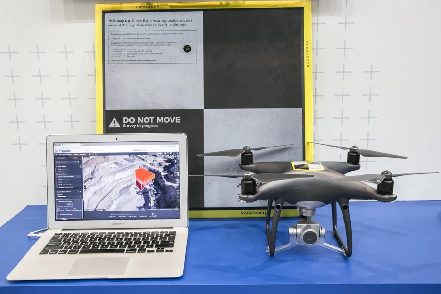
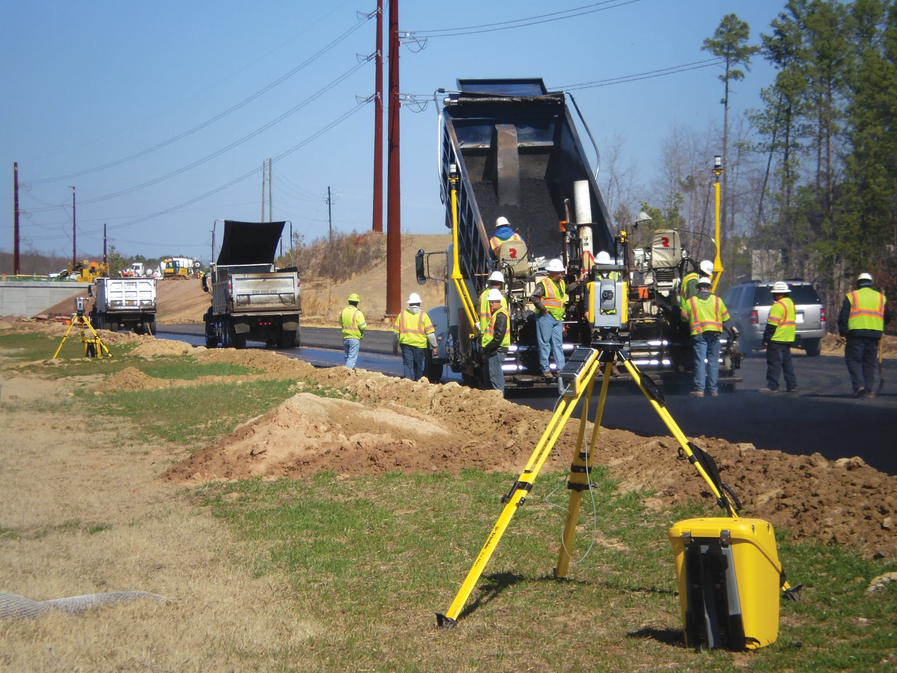
Trimble, based in Sunnyvale, California, develops positioning technologies, such as GPS, lasers and optics as well as software content specific to the hardware. Trimble’s products focus on applications requiring position or location - including surveying, construction, agriculture, fleet and asset management, public safety and mapping.
Their goal, they said, is to make building information modelling (BIM) more useful beyond the design stage. Contractors too often must create their own 3D models for construction visualisation. At the same time project owners do not expect their designers’ BIM work to survive the construction process and provide visibility into the engineering and analytics that are essential for more efficient operation of the asset.
Bentley and Trimble said they will work jointly to ensure architects' and engineers' construction modelling work is preserved and referenced for use through the project’s life cycle. The aim is to allow the sharing of schemata across design and construction applications to ensure that constructible models maintain semantic fidelity. Contractors already have greater flexibility in performing field layout tasks as they now accept Bentley’s i-models in Trimble Field Link.
The companies are also cooperating on developing industry standards, such as the Open Geospatial Consortium’s intrinsic geo-context down to construction levels of detail.


