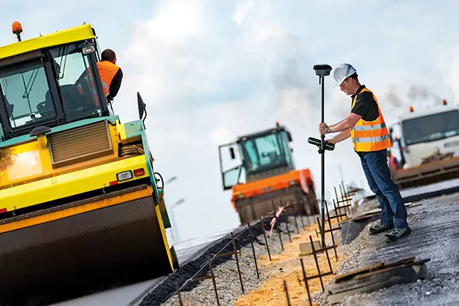
Leica Geosystems says that sophisticated PowerDigger 2D guidance system for excavators offers automatic slope control. The system expands on its PowerSnap technology and is said to make excavating easier and more productive. The system uses a standard panel whether fitted to a dozer, excavator or grader, which is also said to save money on training and equipment, as well as reducing down time.
Leica PowerDigger 2D system allows multiple elevations and slopes to be constructed at any orientation, witho
RSS265 Leica Geosystems says that sophisticated PowerDigger 2D guidance system for excavators offers automatic slope control. The system expands on its PowerSnap technology and is said to make excavating easier and more productive. The system uses a standard panel whether fitted to a dozer, excavator or grader, which is also said to save money on training and equipment, as well as reducing down time.
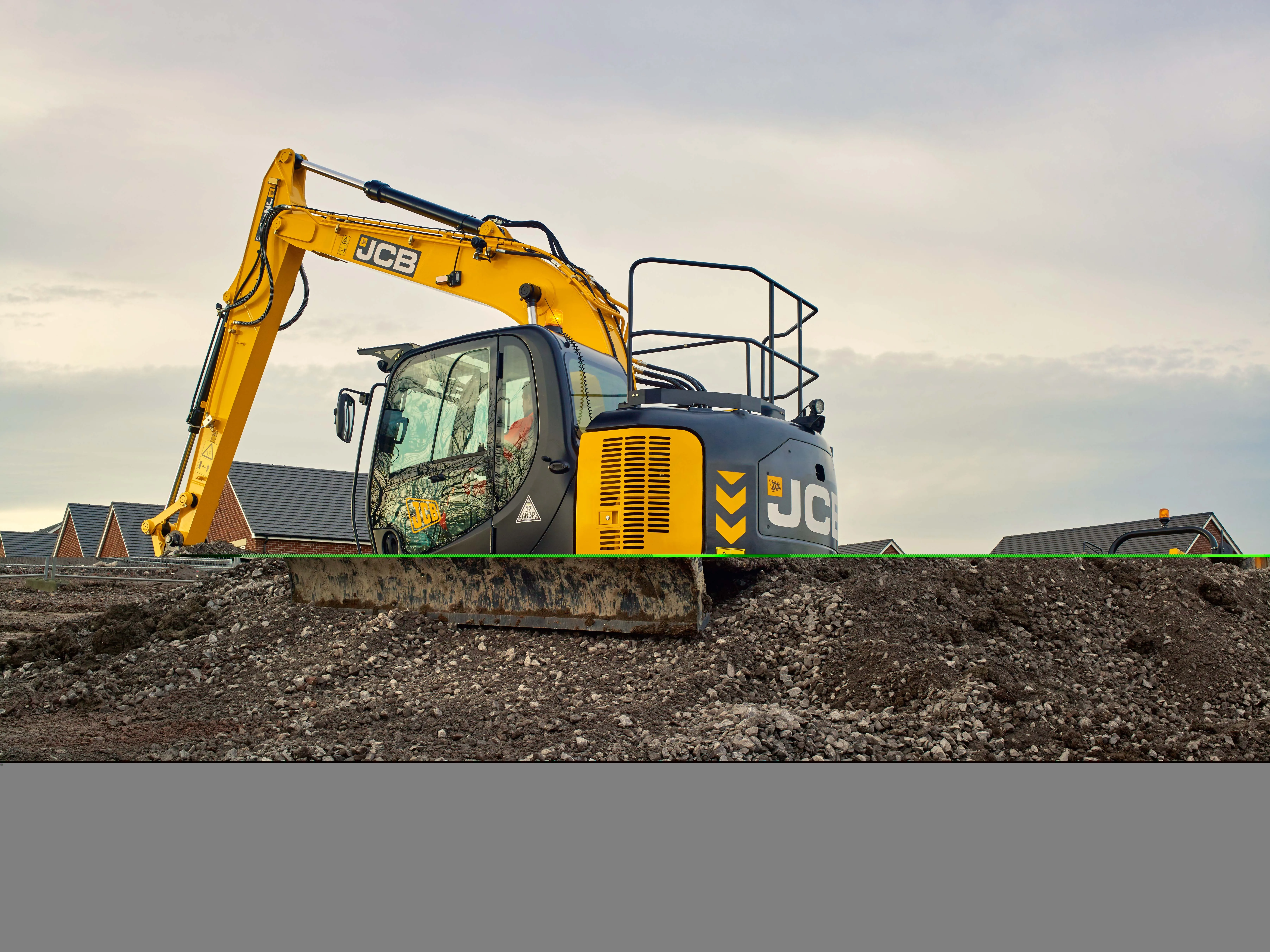
Leica PowerDigger 2D system allows multiple elevations and slopes to be constructed at any orientation, without resetting the machine or laser height reference. A new feature is the PowerDriller function, which can ensure verticality when using a drilling attachment on an excavator. The package also reduces costly rework while eliminating over-excavation and grade-checking.
The system uses the firm's novel PowerSnap panel, which is a cable-free system that can be interchanged between different machines. Key components can also be removed for overnight security, while the system stores machine-specific settings. By adding a 3D control box and GNSS sensors the user can upgrade the package to a 3D guidance solution that allows excavation to the 3D design model on the panel.
PowerSnap is said to let new customers manage their investment path as they move into machine control offering complete backwards compatibility and affordable upgrade paths from traditional laser/slope control - all the way up to 3D GPS technology. An investment in Leica Geosystems machine control systems allows the contractor to grow their technology investment as their business grows.
When working in potentially dangerous areas such as under bridges and power lines or inside buildings, the operator can preset a maximum working height and be warned when the excavator arm or bucket reaches the critical height. Leica PowerDigger 2D also features an integrated buried service detection warning. An EZiDIG cable detection sensor can be interfaced directly to the PowerDigger CAN connection. The operator while digging will be alerted of buried services by an audio alarm and visual display on the PowerDigger 2D display.
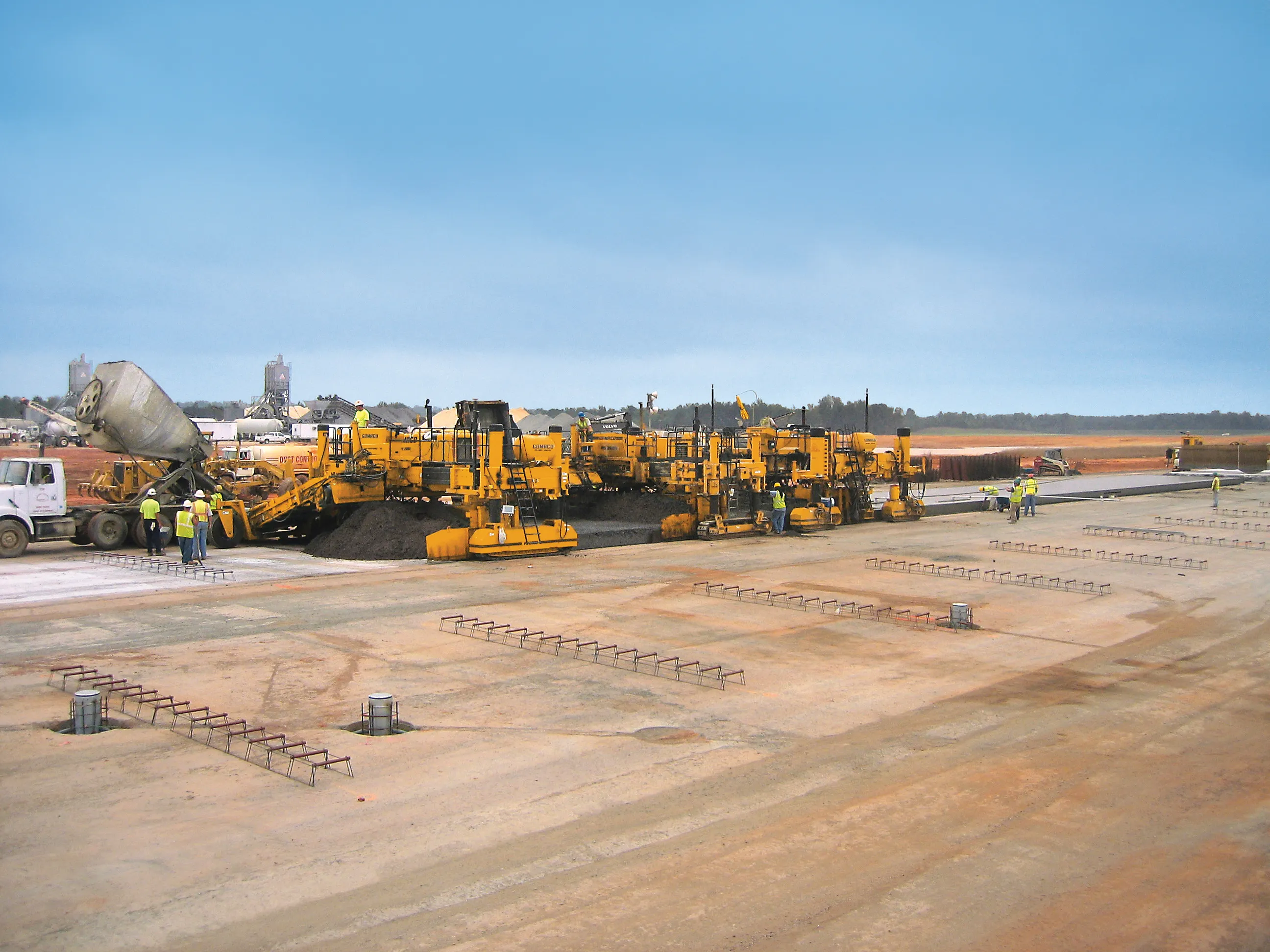
In addition Leica Geosystems is offering the new entry-level single- slope PowerDigger Lite guidance system for all types of excavators. This package is suited for use on compact machines such as mini excavators and backhoe loaders and boosts productivity by eliminating stakes over-excavations. The system can be used in single slope applications such as trenching, grading and pipe-laying, and can be mounted on any excavator. It is also waterproof, so no special sensors or cables are needed for underwater use and can be quickly installed.
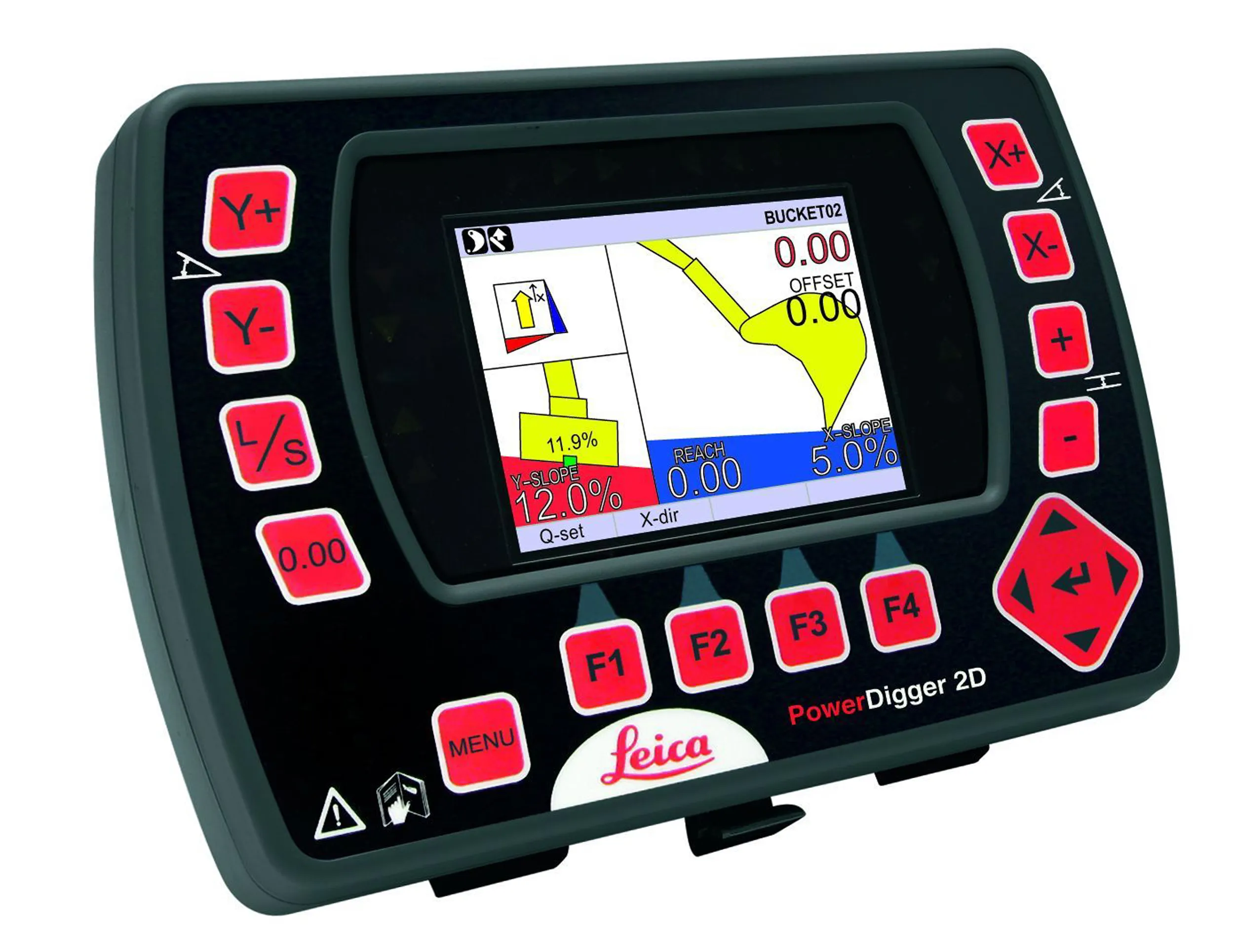
To start work, operators simply choose a height reference and enter the desired slope; both are presented on the graphical display. Final grade and the offset from the bucket edge are also displayed on the screen. The system removes the need for grade checking, increasing safety on busy construction sites and features the firm's safety alert unit that can provide warnings when working in potentially dangerous areas.
Leica PowerDigger 2D system allows multiple elevations and slopes to be constructed at any orientation, without resetting the machine or laser height reference. A new feature is the PowerDriller function, which can ensure verticality when using a drilling attachment on an excavator. The package also reduces costly rework while eliminating over-excavation and grade-checking.
The system uses the firm's novel PowerSnap panel, which is a cable-free system that can be interchanged between different machines. Key components can also be removed for overnight security, while the system stores machine-specific settings. By adding a 3D control box and GNSS sensors the user can upgrade the package to a 3D guidance solution that allows excavation to the 3D design model on the panel.
PowerSnap is said to let new customers manage their investment path as they move into machine control offering complete backwards compatibility and affordable upgrade paths from traditional laser/slope control - all the way up to 3D GPS technology. An investment in Leica Geosystems machine control systems allows the contractor to grow their technology investment as their business grows.
When working in potentially dangerous areas such as under bridges and power lines or inside buildings, the operator can preset a maximum working height and be warned when the excavator arm or bucket reaches the critical height. Leica PowerDigger 2D also features an integrated buried service detection warning. An EZiDIG cable detection sensor can be interfaced directly to the PowerDigger CAN connection. The operator while digging will be alerted of buried services by an audio alarm and visual display on the PowerDigger 2D display.
In addition Leica Geosystems is offering the new entry-level single- slope PowerDigger Lite guidance system for all types of excavators. This package is suited for use on compact machines such as mini excavators and backhoe loaders and boosts productivity by eliminating stakes over-excavations. The system can be used in single slope applications such as trenching, grading and pipe-laying, and can be mounted on any excavator. It is also waterproof, so no special sensors or cables are needed for underwater use and can be quickly installed.
To start work, operators simply choose a height reference and enter the desired slope; both are presented on the graphical display. Final grade and the offset from the bucket edge are also displayed on the screen. The system removes the need for grade checking, increasing safety on busy construction sites and features the firm's safety alert unit that can provide warnings when working in potentially dangerous areas.