Kassel-based company Aibotix has presented a solution for high-precision surveying with Version 2 of its tried and tested surveying hexacopter AibotX6: High Precision GNSS.
Aibotix, based in Kassel, in the middle of Germany, develops and manufactures multi-copters for applications in the industrial sector. The company's name is a combination of Ai for artificial intelligence and botix for robotics.
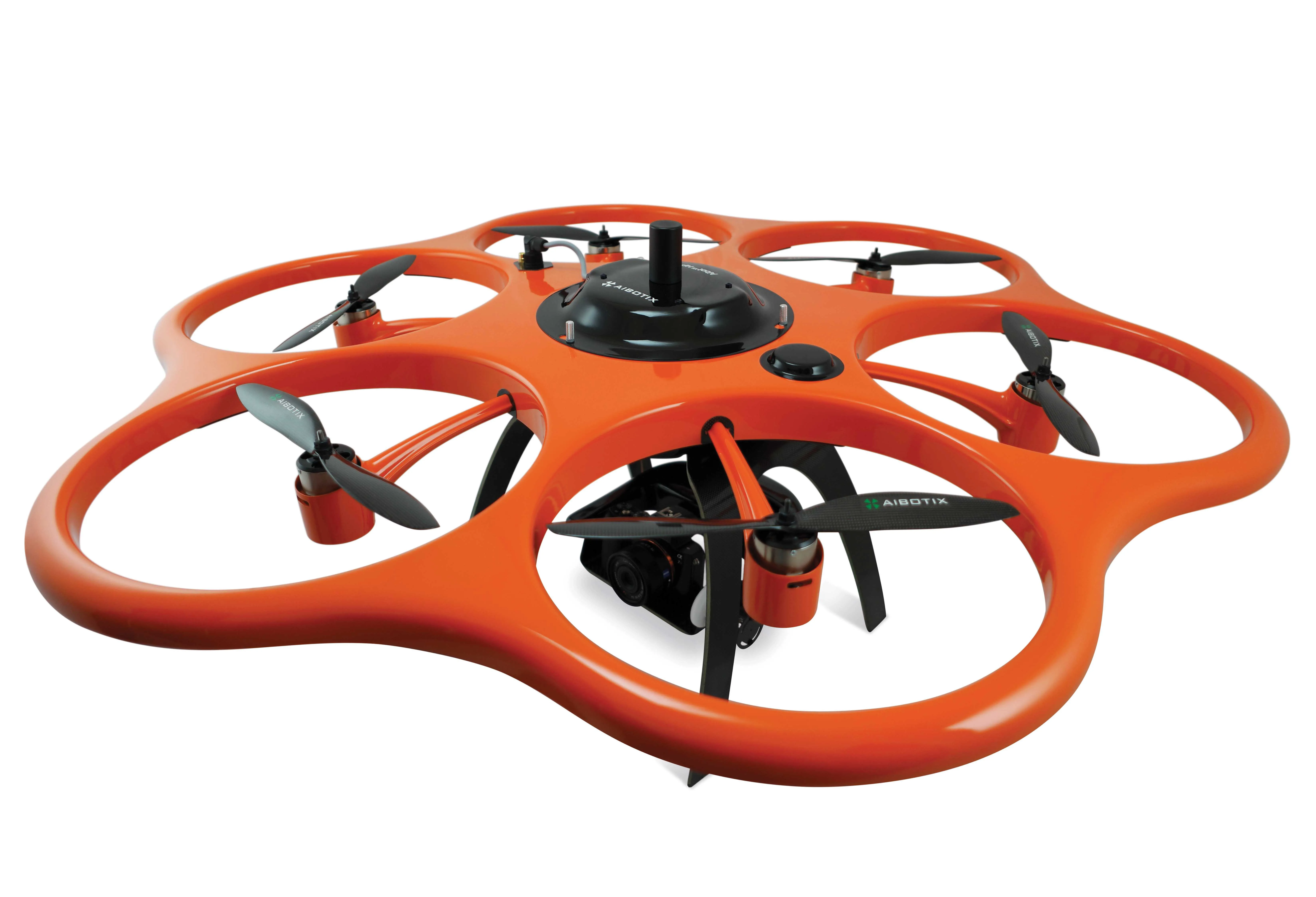
Kassel-based company Aibotix has presented a solution for high-precision surveying with a new version of its tried and tested surveying hexacopter AibotX6: high-precision GNSS
Aibotix, based in Kassel, in the middle of Germany, develops and manufactures multi-copters for applications in the industrial sector. The company's name is a combination of Ai for artificial intelligence and botix for robotics.
The company is part of the global precision measuring technology group7121 Hexagon, based in Sweden. It produces several hundred unmanned aerial vehicles – UAVs - annually, making it one of the five largest manufacturers in the world. Version 2 of its hexacopter AibotX6 is the result of collaboration between Hexagon and Aibotix since Aibotix’s acquisition by 265 Leica Geosystems, part of Hexagon.
The High Precision GNSS which can also be installed in existing AibotX6 hexacopters as Version 2, was first announced at this year’s HxGN Live in Las Vegas, in the US. It will now be available as a serial product following the completion of all field trials; Aibotix claims to be the first company to offer a serial production solution for high-precision GNSS for surveying UAVs.
The precision and quality of the surveying data can be significantly improved by using RTK technology on the basis of the correction data service SmartNet, made by Leica Geosystems. Post-processing is also a possible alternative. Aibotix said this new flexibility not only saves users a lot of time, but also offers them more scope for adapting their activities to a specific operational situation.
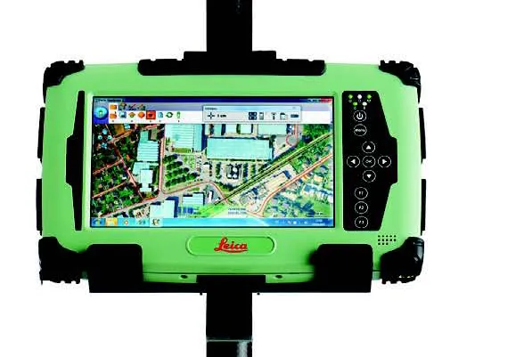
From the word go, great care was taken to ensure that the system could be superimposed on proven existing solutions. Besides allowing the use of existing surveying hexacopters, this meant above all the continuing generation and processing of data with the fully integrated software Aibotix AiProFlight.
Only an update is required to enable the software to be used in conjunction with the new HP GNSS for the AibotX6. The significant time reduction in comparison with conventional UAV surveying represents the greatest benefit for customers, said Aibotix.
Aibotix, based in Kassel, in the middle of Germany, develops and manufactures multi-copters for applications in the industrial sector. The company's name is a combination of Ai for artificial intelligence and botix for robotics.
The company is part of the global precision measuring technology group
The High Precision GNSS which can also be installed in existing AibotX6 hexacopters as Version 2, was first announced at this year’s HxGN Live in Las Vegas, in the US. It will now be available as a serial product following the completion of all field trials; Aibotix claims to be the first company to offer a serial production solution for high-precision GNSS for surveying UAVs.
The precision and quality of the surveying data can be significantly improved by using RTK technology on the basis of the correction data service SmartNet, made by Leica Geosystems. Post-processing is also a possible alternative. Aibotix said this new flexibility not only saves users a lot of time, but also offers them more scope for adapting their activities to a specific operational situation.
From the word go, great care was taken to ensure that the system could be superimposed on proven existing solutions. Besides allowing the use of existing surveying hexacopters, this meant above all the continuing generation and processing of data with the fully integrated software Aibotix AiProFlight.
Only an update is required to enable the software to be used in conjunction with the new HP GNSS for the AibotX6. The significant time reduction in comparison with conventional UAV surveying represents the greatest benefit for customers, said Aibotix.