Advanced GNSS capabilities from Topcon

Topcon claims that its HiPer VR GNSS receiver is compact, light and benefits from advanced GNSS technology. The firm says that the rugged design is built to withstand harsh construction environments. Using Topcon’s sophisticated GNSS chipset with Universal Tracking Channels technology, the HiPer VR tracks every satellite signal. The compact, rugged design also features an integrated IMU and eCompass. The HiPer VR can be used for static or kinematic GNSS post-processed surveys: as a network RTK rover with
May 15, 2019 Read time: 2 mins
Topcon claims that its HiPer VR GNSS receiver is compact, light and benefits from advanced GNSS technology. The firm says that the rugged design is built to withstand harsh construction environments.


Using 342 Topcon’s sophisticated GNSS chipset with Universal Tracking Channels technology, the HiPer VR tracks every satellite signal. The compact, rugged design also features an integrated IMU and eCompass.

The HiPer VR can be used for static or kinematic GNSS post-processed surveys: as a network RTK rover with the FC-5000's internal 4G/LTE cellular modem; as a UHF/Longlink jobsite RTK rover; and also in Topcon’s patented Hybrid Positioning solution.

Key features include universal tracking technology for all satellites and constellations (GPS, GLONASS, Galileo, Beidou, IRNSS, QZSS, SBAS) covering all modernised signals, as well as a compact form factor ideal for Millimeter GPS and Hybrid Positioning. They also include a novel 9-axis IMU and ultra-compact 3-axis eCompass, as well as an integrated 400 MHz UHF Tx/Rx Radio Modem and an ultra-compact 3-axis eCompass that compensates for mis-levelled field measurements out of plumb up to 15°.

For more information on companies in this article

Related Content

  • Innovations in aggregates production will boost quarry efficiency
    March 16, 2016
    New innovations are underway that will help optimise rock crushing and screening operations and boost quarry efficiency overall - Mike Woof writes. Quarrying is a tough industry that provides enormous challenges to equipment providers as machines and technology have to be rugged, durable and productive. Cutting the cost of production while optimising output has been a major target for suppliers, with new technologies playing an increasingly important role. Taking the long view with regard to increased qu
  • Paving control package for concrete or asphalt pavers
    March 16, 2012
    Leica Geosystems has launched v3.0 of its Leica PaveSmart 3D system, which is designed specifically for concrete and asphalt paving and milling applications. This upgraded package is now said to support a wider range of paving equipment and applications than before. PaveSmart 3D v3.0 will be available late March 2012 through Leica Geosystems’ direct sales and approved paving solution distribution channels, including GOMACO.
  • Paving control package for concrete or asphalt pavers
    April 10, 2012
    Leica Geosystems has launched v3.0 of its Leica PaveSmart 3D system, which is designed specifically for concrete and asphalt paving and milling applications. This upgraded package is now said to support a wider range of paving equipment and applications than before. PaveSmart 3D v3.0 will be available late March 2012 through Leica Geosystems’ direct sales and approved paving solution distribution channels, including GOMACO.
  • Rugged controller for site use
    June 25, 2021
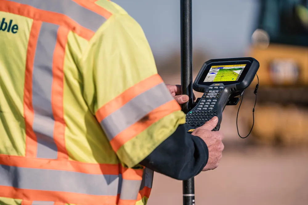
    Trimble is now offering its TSC5 Controller, a rugged and lightweight field controller for civil construction surveyors.