Advanced GNSS capabilities from Topcon

Topcon claims that its HiPer VR GNSS receiver is compact, light and benefits from advanced GNSS technology. The firm says that the rugged design is built to withstand harsh construction environments. Using Topcon’s sophisticated GNSS chipset with Universal Tracking Channels technology, the HiPer VR tracks every satellite signal. The compact, rugged design also features an integrated IMU and eCompass. The HiPer VR can be used for static or kinematic GNSS post-processed surveys: as a network RTK rover with
May 15, 2019 Read time: 2 mins
Topcon claims that its HiPer VR GNSS receiver is compact, light and benefits from advanced GNSS technology. The firm says that the rugged design is built to withstand harsh construction environments.


Using 342 Topcon’s sophisticated GNSS chipset with Universal Tracking Channels technology, the HiPer VR tracks every satellite signal. The compact, rugged design also features an integrated IMU and eCompass.

The HiPer VR can be used for static or kinematic GNSS post-processed surveys: as a network RTK rover with the FC-5000's internal 4G/LTE cellular modem; as a UHF/Longlink jobsite RTK rover; and also in Topcon’s patented Hybrid Positioning solution.

Key features include universal tracking technology for all satellites and constellations (GPS, GLONASS, Galileo, Beidou, IRNSS, QZSS, SBAS) covering all modernised signals, as well as a compact form factor ideal for Millimeter GPS and Hybrid Positioning. They also include a novel 9-axis IMU and ultra-compact 3-axis eCompass, as well as an integrated 400 MHz UHF Tx/Rx Radio Modem and an ultra-compact 3-axis eCompass that compensates for mis-levelled field measurements out of plumb up to 15°.

For more information on companies in this article

Related Content

  • Asphalt milling and paving with 3D control
    February 16, 2012
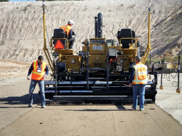
    Milling and paving repair operations for airport runways require particularly high tolerances, an obvious market for 3D control solutions writes Mike Woof. Airport runways require some of the most accurate quality standards and tightest tolerances of any asphalt or concrete surface. This is one area where the high precision capabilities of 3D systems offer clear advantages.
  • Automatic control
    February 7, 2012
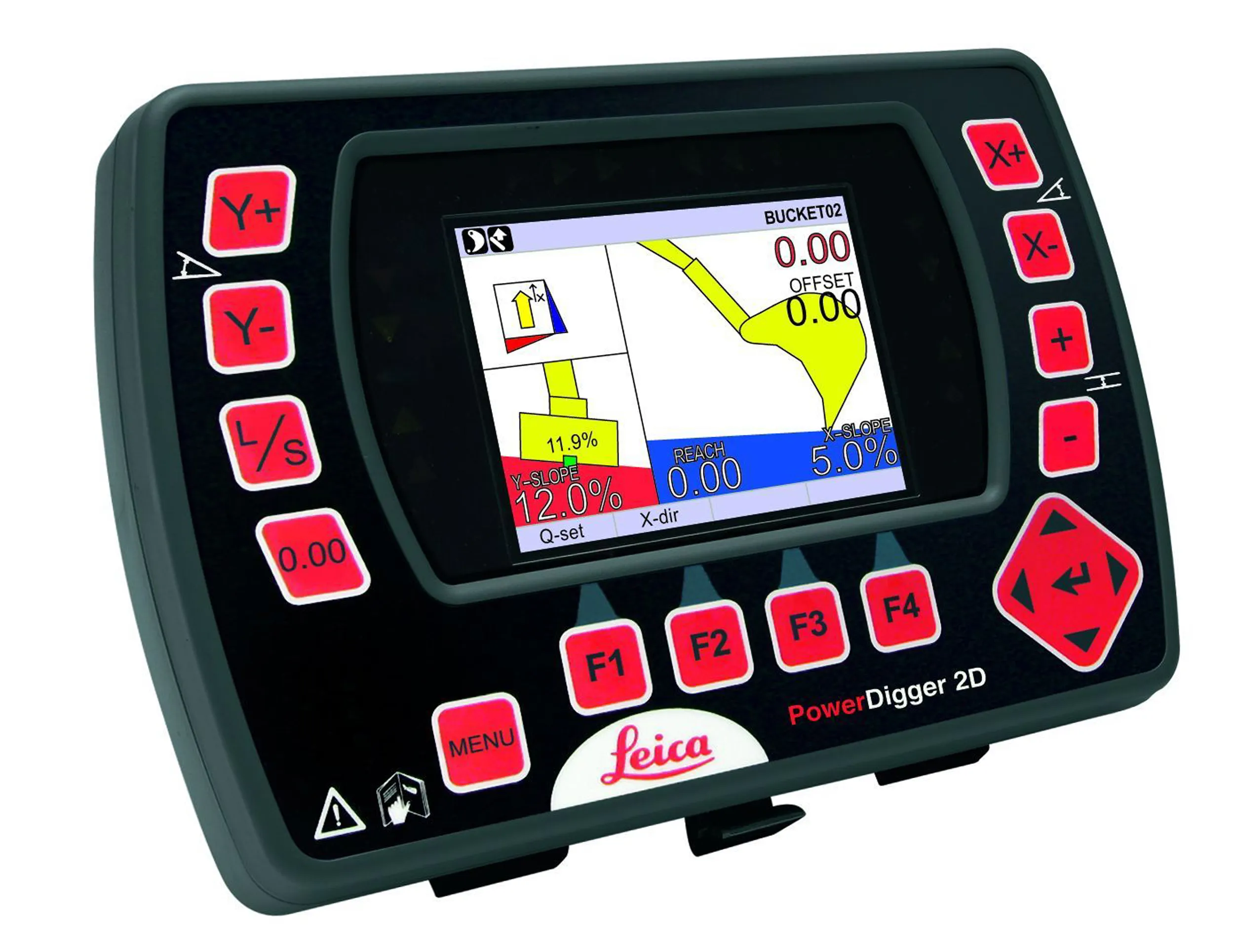
    Leica Geosystems says that sophisticated PowerDigger 2D guidance system for excavators offers automatic slope control. The system expands on its PowerSnap technology and is said to make excavating easier and more productive. The system uses a standard panel whether fitted to a dozer, excavator or grader, which is also said to save money on training and equipment, as well as reducing down time. Leica PowerDigger 2D system allows multiple elevations and slopes to be constructed at any orientation, witho
  • Airport expansion for the Maldives assisted by Trimble
    September 6, 2019
    An airport redevelopment and expansion project in the Maldives has been assisted by the use of technology from Trimble. In 2016 the Chinese firm Beijing Urban Construction Group (BUCG) was awarded the contract for the expansion of the Ibrahim Nasir International Airport on Hulhule island in the Maldives, which is part of the Indian Ocean island group. The massive US$440 million expansion and land reclamation work is intended to boost capacity at the Maldives Airport. BUCG has utilised Trimble field solu
  • Innovative GIS software offerings
    July 18, 2012
    The latest construction software developments can speed the construction process overall, Adrian Greeman reports Construction software is by its very nature a very fast moving technology, with new systems coming to the market almost continuously. There are some key developments however, such as major new product launches and market trends. One of the most important developments in the road design sector is the launch of the Bentley Systems V8i versions of its software, including its road design applications