Advanced GNSS capabilities from Topcon

Topcon claims that its HiPer VR GNSS receiver is compact, light and benefits from advanced GNSS technology. The firm says that the rugged design is built to withstand harsh construction environments. Using Topcon’s sophisticated GNSS chipset with Universal Tracking Channels technology, the HiPer VR tracks every satellite signal. The compact, rugged design also features an integrated IMU and eCompass. The HiPer VR can be used for static or kinematic GNSS post-processed surveys: as a network RTK rover with
May 15, 2019 Read time: 2 mins
Topcon claims that its HiPer VR GNSS receiver is compact, light and benefits from advanced GNSS technology. The firm says that the rugged design is built to withstand harsh construction environments.


Using 342 Topcon’s sophisticated GNSS chipset with Universal Tracking Channels technology, the HiPer VR tracks every satellite signal. The compact, rugged design also features an integrated IMU and eCompass.

The HiPer VR can be used for static or kinematic GNSS post-processed surveys: as a network RTK rover with the FC-5000's internal 4G/LTE cellular modem; as a UHF/Longlink jobsite RTK rover; and also in Topcon’s patented Hybrid Positioning solution.

Key features include universal tracking technology for all satellites and constellations (GPS, GLONASS, Galileo, Beidou, IRNSS, QZSS, SBAS) covering all modernised signals, as well as a compact form factor ideal for Millimeter GPS and Hybrid Positioning. They also include a novel 9-axis IMU and ultra-compact 3-axis eCompass, as well as an integrated 400 MHz UHF Tx/Rx Radio Modem and an ultra-compact 3-axis eCompass that compensates for mis-levelled field measurements out of plumb up to 15°.

For more information on companies in this article

Related Content

  • Stabilising ground with new plant at high altitude
    November 6, 2018
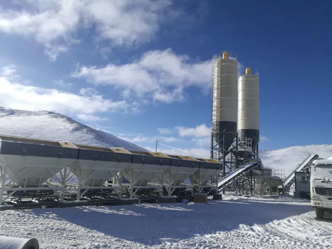
    XCMG recently constructed the third high-speed, stabilised soil mixing plant XC800S at high altitude on Qinghai-Tibet Plateau, the world's highest and largest plateau. The installation is for a project that forms part of China’s Grand Western Development and Belt and Road Initiative. This was a part of the demand for four cost-effective, high-speed stabilised soil mixing plants. To construct such a giant equipment on the plateau presented a huge challenge as the area has a harsh environment, with low temp
  • Topcon’s swift solution for road surface data
    January 6, 2017
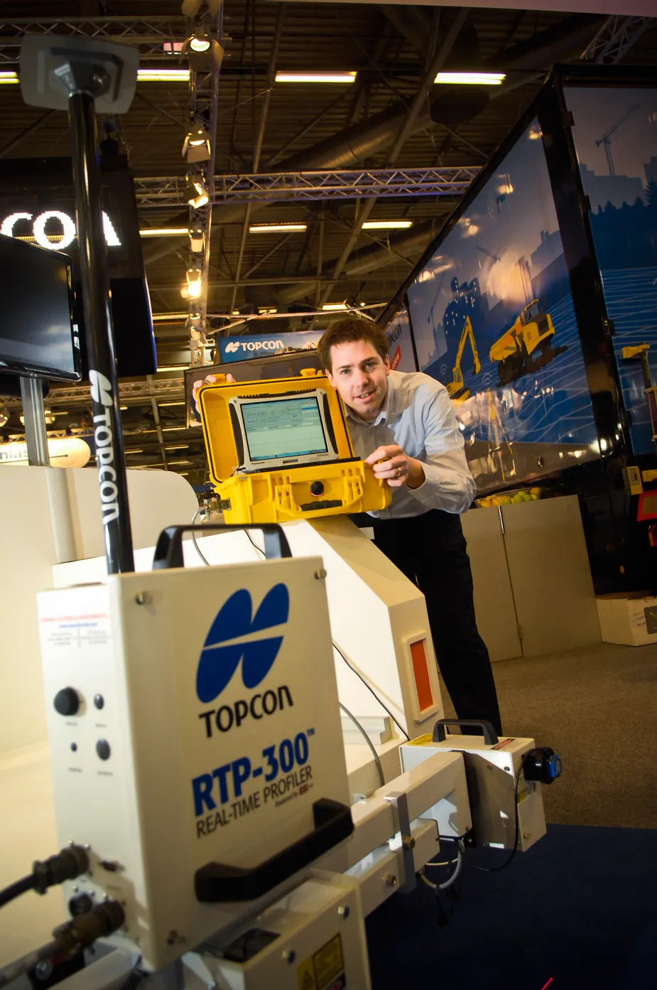
    Topcon’s RTP-300 machine, launched at INTERMAT, is no slouch in providing fast and exact road surface data for construction companies and highway authority consultants. “What is typically used is a car [fitted with road surface profiling technology] that needs to keep stopping when scanning a road surface profile. On larger highways, this has meant the road needs to be closed,” said Achiel Sturm, Topcon’s marketing manager.
  • Topcon’s swift solution for road surface data
    April 17, 2012
    Topcon’s RTP-300 machine, launched at INTERMAT, is no slouch in providing fast and exact road surface data for construction companies and highway authority consultants. “What is typically used is a car [fitted with road surface profiling technology] that needs to keep stopping when scanning a road surface profile. On larger highways, this has meant the road needs to be closed,” said Achiel Sturm, Topcon’s marketing manager.
  • Smart detection of underground utilities
    January 12, 2017
    From GSSI comes the sophisticated LineTrac GPR system, an accessory to the UtilityScan systems employing either the DF or HS antennas. The LineTrac allows users to detect AC power and induced RF energy present in buried utilities. By combining GPR data with a radio detection sensor, GSSI’s LineTrac accessory is capable of detecting low amplitude AC signals. LineTrac employs a three-axis 50/60 Hz magnetometer that is used to locate powered and non-powered utilities with accurate, dependable and repeat