Advanced communications

Topcon Positioning Group says that its new GM-100 total station is designed to provide a powerful EDM along with advanced integrated communications technology in a manual package. “It delivers the latest technological advantages in a small, sleek design,” said Ray Kerwin, director of global surveying products. “Whether operators are performing tasks such as site layout or as-built survey, the instrument delivers high-end performance with a best-in-class accuracy of up to 6000m and 1.5mm + 2 ppm with a pris
May 22, 2018 Read time: 2 mins
342 Topcon Positioning Group says that its new GM-100 total station is designed to provide a powerful EDM along with advanced integrated communications technology in a manual package.


“It delivers the latest technological advantages in a small, sleek design,” said Ray Kerwin, director of global surveying products. “Whether operators are performing tasks such as site layout or as-built survey, the instrument delivers high-end performance with a best-in-class accuracy of up to 6000m and 1.5mm + 2 ppm with a prism and up to 1000m and 2mm + 2 ppm in reflectorless mode.”

The GM-100 offers dual-axis compensation designed to ensure stable measurements even on rough terrain by automatically correcting both horizontal and vertical angles.

The instrument features integrated Bluetooth technology with no external antenna necessary for connectivity with the controller. Additional features include 50,000 points of internal memory and up to 32GB USB storage, as well as up to 28 hours of battery life and IP66 certification.

For more information on companies in this article

Related Content

  • Sophisticated surveying tool from Topcon
    September 4, 2019
    Topcon Postioning is now offering a sophisticated surveying tool in the shape of an auto-collimating total station for surveying professionals looking for a motorised solution. The firm says that this rugged waterproof total station benefits from the latest TSshield technology for advanced security and maintenance. The system can also be upgraded to Autotracking when the customer is ready to advance further to robotic applications. The GT-503M can be used for Tunnel Guidance and Periodic Monitoring applicat
  • GPS machine control improves construction accuracy
    February 29, 2012
    The latest GPS systems will improve the accuracy of many construction operations. Mike Woof reports. The pace of technological advancement is fast in the GPS market. Despite a market downturn, the GPS solution providers continue to invest in research and development. And there is evidence to suggest that the contracting sector is more keen than ever to employ the latest technology because of the cost benefits this can bring.
  • Wider range of survey software functionality
    February 9, 2012
    Leica Geosystems is offering a broad spread of new packages and hardware that will deliver improved performance to users. The firmware 2.0 product is said to add powerful new capabilities to the Leica ScanStation C10, the industry's most popular 3D laser scanner for as-built and topographic surveys. This further increases the productivity and versatility of the fully integrated, cable-less ScanStation C10. A new Setup facility lets users take advantage of known survey points and backsighting, while remote,
  • Accurate scanning
    February 6, 2012
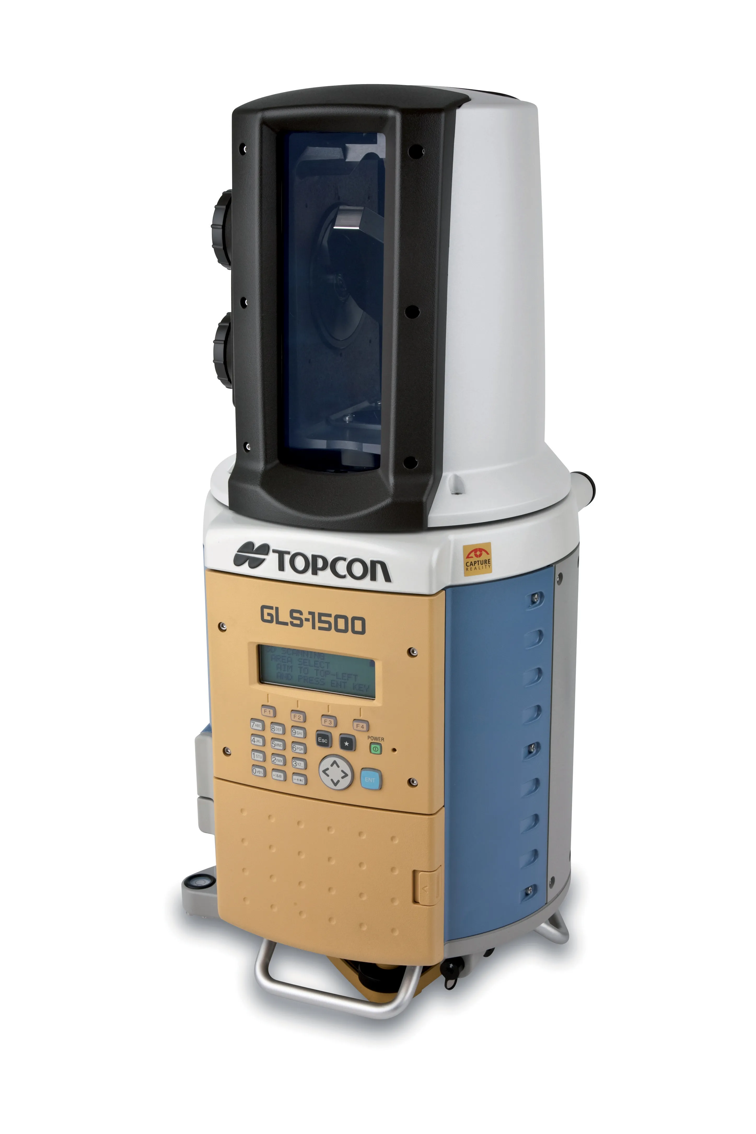
    TOPCON CLAIMS that its GLS- 1500 laser scanner speeds point cloud collection. This unit is 10 times faster than previous units and collects up to 30,000 points/second, reducing the amount of equipment needed in the field. The GLS-1500 offers a range of up to 330m and is designed for quick setup to save time and improve productivity.