Advanced communications

Topcon Positioning Group says that its new GM-100 total station is designed to provide a powerful EDM along with advanced integrated communications technology in a manual package. “It delivers the latest technological advantages in a small, sleek design,” said Ray Kerwin, director of global surveying products. “Whether operators are performing tasks such as site layout or as-built survey, the instrument delivers high-end performance with a best-in-class accuracy of up to 6000m and 1.5mm + 2 ppm with a pris
May 22, 2018 Read time: 2 mins
342 Topcon Positioning Group says that its new GM-100 total station is designed to provide a powerful EDM along with advanced integrated communications technology in a manual package.


“It delivers the latest technological advantages in a small, sleek design,” said Ray Kerwin, director of global surveying products. “Whether operators are performing tasks such as site layout or as-built survey, the instrument delivers high-end performance with a best-in-class accuracy of up to 6000m and 1.5mm + 2 ppm with a prism and up to 1000m and 2mm + 2 ppm in reflectorless mode.”

The GM-100 offers dual-axis compensation designed to ensure stable measurements even on rough terrain by automatically correcting both horizontal and vertical angles.

The instrument features integrated Bluetooth technology with no external antenna necessary for connectivity with the controller. Additional features include 50,000 points of internal memory and up to 32GB USB storage, as well as up to 28 hours of battery life and IP66 certification.

For more information on companies in this article

Related Content

  • Advanced GNSS capabilities from Topcon
    May 15, 2019
    Topcon claims that its HiPer VR GNSS receiver is compact, light and benefits from advanced GNSS technology. The firm says that the rugged design is built to withstand harsh construction environments. Using Topcon’s sophisticated GNSS chipset with Universal Tracking Channels technology, the HiPer VR tracks every satellite signal. The compact, rugged design also features an integrated IMU and eCompass. The HiPer VR can be used for static or kinematic GNSS post-processed surveys: as a network RTK rover with
  • GPS machine control systems reduce survey time
    February 14, 2012
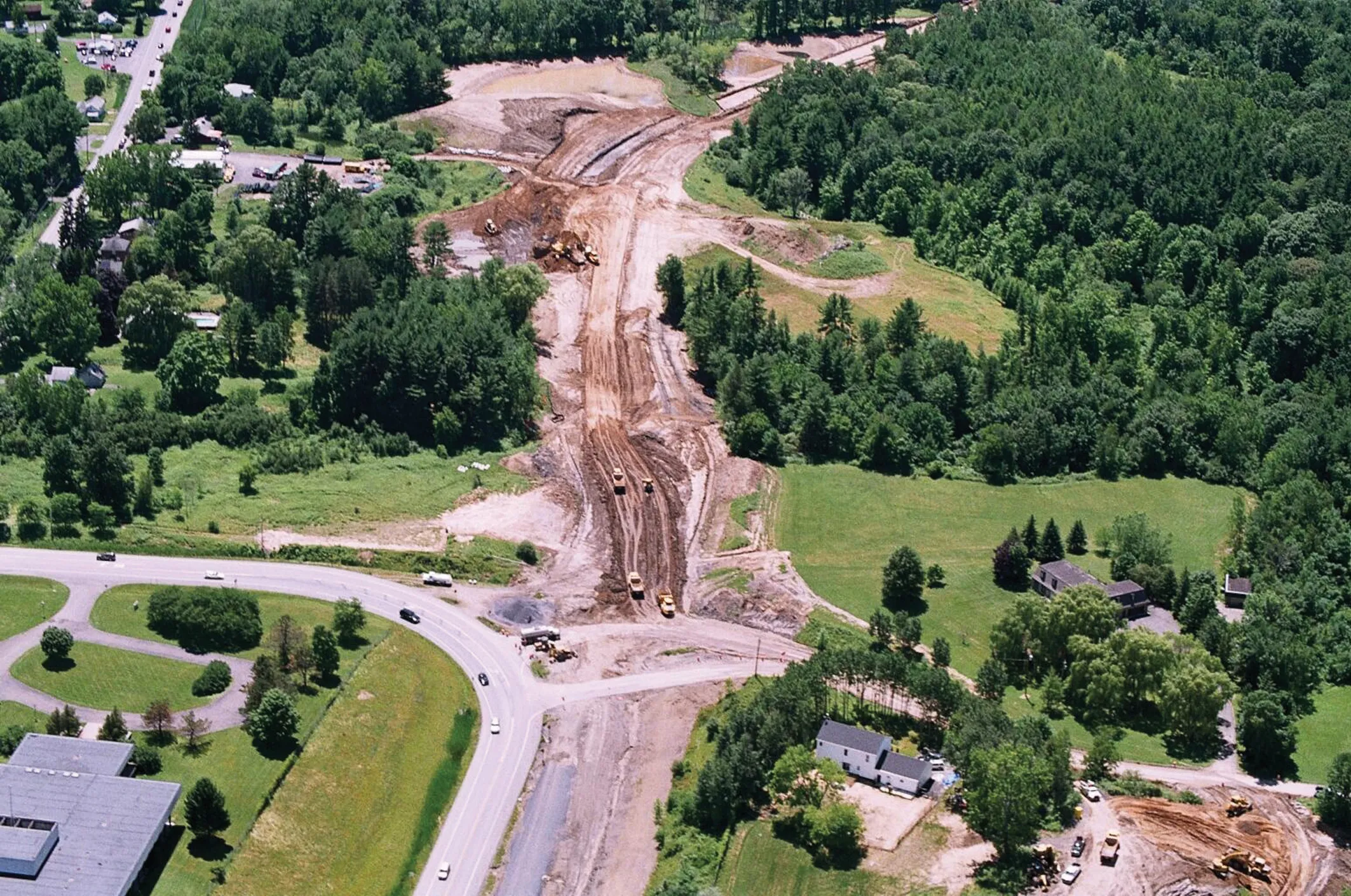
    Innovative uses are being made of GPS technology, Mike Woof reports. US firms Creighton Manning Engineering and Delaney Construction have made a novel use of GPS technology in a project for the Route 85 Slingerlands bypass extension in the US.
  • Positioning tools continue to improve
    July 16, 2012
    Topcon says that its new IP-S2 package combines GNNS positioning capabilities with inertial sensors, while the firm also has a solution for customers wanting to mix and match receiver components. The IP-S2 is a vehicle-mounted, mobile 3D tool that offers precision mapping and surveying capabilities. The package collects data using 3D laser scanners, LIDAR, and/or cameras, and this is then integrated, time-stamped and geo-referenced. The customer can use this assembled data to combine LIDAR point cloud and d
  • Intermat innovation for machine control systems
    June 23, 2015
    Improving technologies for machine control systems continue to deliver increases in efficiency for contractors - Mike Woof writes Machine control technologies have continued to develop as the specialist suppliers in this fiercely fought sector seek to find a competitive advantage over their rivals. The key players, Leica Geosystems, MOBA, Topcon and Trimble, have all been pushing the boundaries with their latest technologies. Although the systems these firms are introducing are aimed at a number of differen