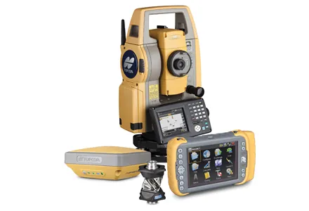
Topcon Positioning Group is expanding its GM range of manual total stations with the addition of the new GM-50. The unit is designed to provide fast and accurate measurements in a cost-efficient package. Compact and durable, the GM-50 is said to offer high performance and functionality for jobs such as site layout or as-built survey, according to the firm. The beam is designed to offer a rapid distance measurement of 0.9 seconds regardless of the target. The iM-50 EDM features a prism range of up to 4,000m