Accurate positioning with Topcon

By Topcon March 13, 2024 Read time: 1 min
Topcon says that its new Hybrid Positioning package offers versatility for positioning and optical robotic measurements

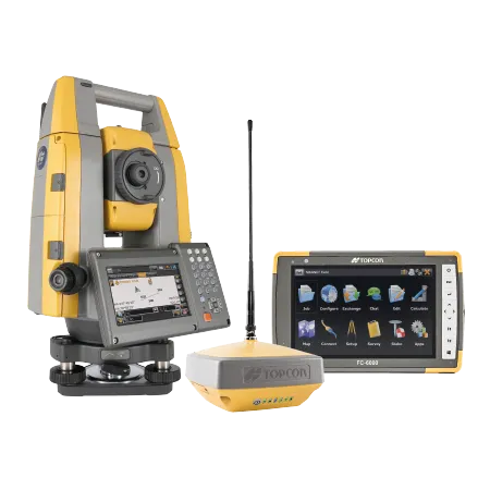
The new Hybrid Positioning system from Topcon is said to perform faster in the field than stand-alone robotic systems and is more versatile than RTK-only solutions. The latest Hybrid Positioning technology combines GNSS positioning and optical robotic measurements on one rover pole.

The unit offers a robotic total station and a lightweight GNSS receiver in a single package and is said to allow faster field work than stand-alone robotic or GNSS solutions. The system has a hybrid lock for rapid prism acquisition in dense areas and a hybrid switch for bouncing between optical measurements and GNSS positioning, as well as a hybrid resection to start set up at a safe and convenient location.

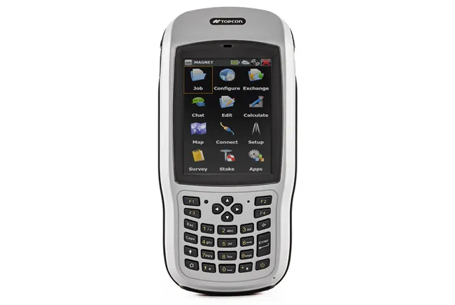
The system is compatible with all Topcon robotic total stations and allows the user to reacquire targets even in challenging conditions. A user can can select safe, convenient locations and define the unknown point of the instrument from GNSS measurements. The firm says that for maximum efficiency, users can pair the Hybrid Positioning technology with MAGNET Field data-collection software.
 

For more information on companies in this article

Related Content

  • Wirtgen now offers a sophisticated 3D paver control system
    January 30, 2013
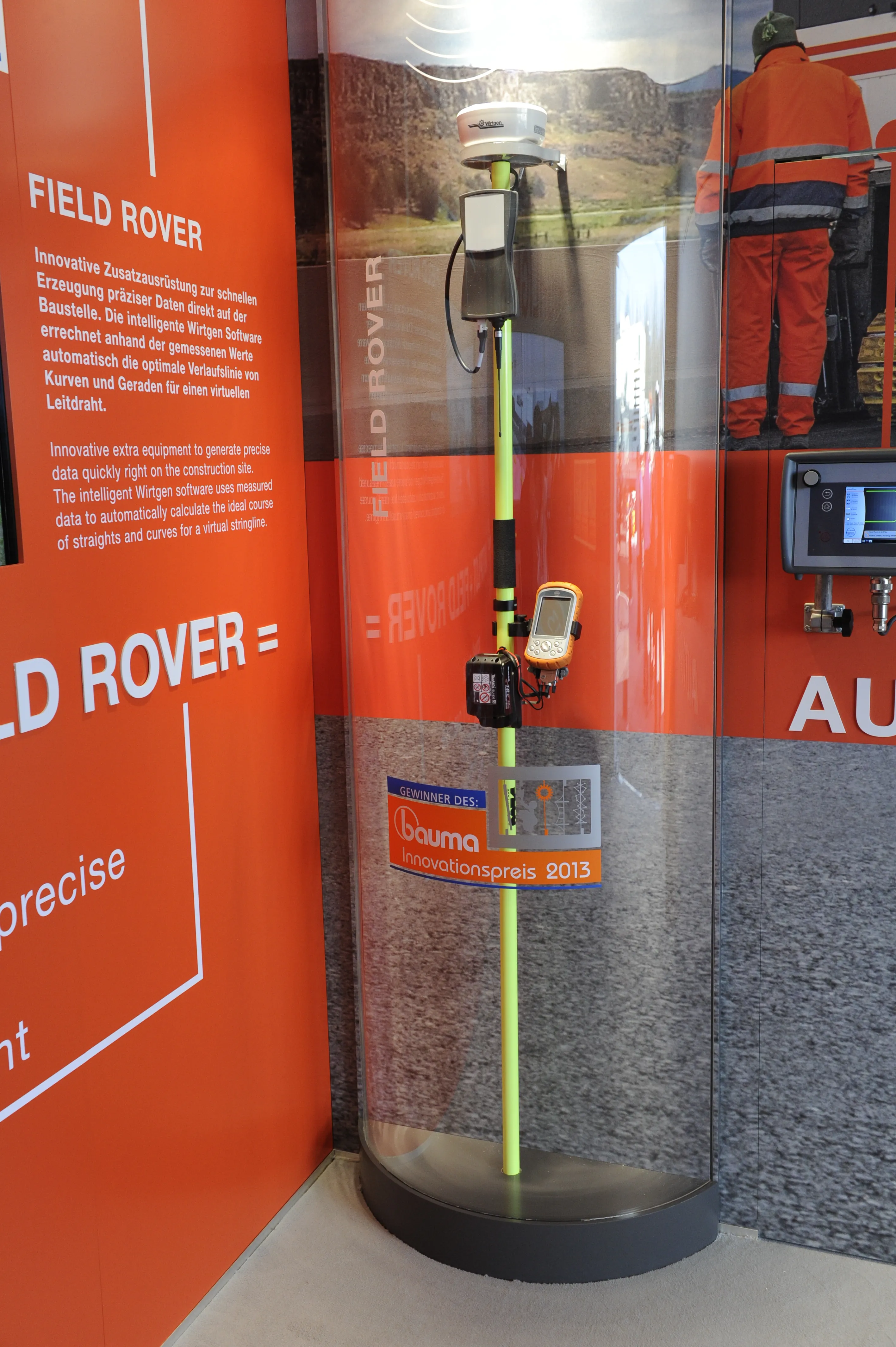
    Wirtgen is introducing its latest AutoPilot Field Rover system which allows fully automatic, stringline-free concrete paving and allows jobs to be carried out more easily, quickly and economically. The system is more efficient than using conventional stringlines and is faster also and its 3D control system comprises a computer integrated into the machine and a control panel. Two GPS receivers mounted on the machine communicate with a GPS reference station on the job site. A digital terrain model is not requ
  • Topcon announces increased integration with Autodesk scanning software
    June 2, 2016
    Topcon Positioning Group has announced increased integration in the Autodesk and Topcon reality data workflow that it says is designed to increase project efficiency. Raw scan data from the Topcon GLS-2000 laser scanner can now be taken directly into Autodesk ReCap 360 and ReCap 360 Pro with no intermediate software conversion steps necessary. Topcon said that this integration is designed to streamline point cloud analysis to quickly identify conflicts, measure variations and make adjustments at vari
  • Sokkia’s sophisticated robot total stations
    January 12, 2017
    Sokkia is introducing a lighter and faster line of robotic total stations. The new iX series features ultrasonic technology and is designed to provide smooth and accurate prism-tracking. According to the firm, the UltraSonic motors are the thinnest, lightest, and most reliable on the market. These have a rotation speed of 150°/second and are said to offer the efficiency of a single-operator robotic system and the power of long-range reflectorless measurements of up to 800m and 6,000m with a reflector. Th
  • Sophisticated geopositioning tool from Topcon
    October 9, 2018
    Topcon says that its new T-18 handheld controller offers accuracy for geopositioning, construction, mapping and vertical construction applications. The controller includes a sunlight-readable display with a 1GHz processor, 1GB of internal storage, and up to 10 hours of battery life. “For MAGNET Field data collection, the T-18 controller offers a durable ergonomic solution with faster processing, a larger screen, better connectivity and longer battery life than previously available comparable systems,” said