Accurate positioning with Leica Geosystems

The new Zeno GG04 smart antenna from Leica Geosystems is said to increase access to GIS and boost tracking performance. This is said to deliver a versatile solution that can improve the accuracy of GNSS mobile devices with real-time Kinematic (RTK) and precise point positioning (PPP). Paired with the Zeno GG04, any Zeno or third party mobile device with Android or Windows OS can now collect precise positioning data with Leica Geosystems’ GNSS technology and 555-channel tracking performance. With PPP, users
June 19, 2017 Read time: 2 mins
The new smart antenna from Leica Geosystems offers increased tracking accuracy
The new Zeno GG04 smart antenna from Leica Geosystems is said to increase access to GIS and boost tracking performance.


This is said to deliver a versatile solution that can improve the accuracy of GNSS mobile devices with real-time Kinematic (RTK) and precise point positioning (PPP).

Paired with the Zeno GG04, any Zeno or third party mobile device with 1223 Android or Windows OS can now collect precise positioning data with 265 Leica Geosystems’ GNSS technology and 555-channel tracking performance. With PPP, users can collect data even in areas without cellular coverage. The bring-your-own-device (BYOD) functionality enables any smart device to collect survey-grade data, delivering centimetre results.

With the Zeno Connect app, any third-party app is compatible with the Zeno GG04 smart antenna. The Zeno Mobile, Zeno Connect or 212 Esri’s Collector for ArcGIS apps provide an easy and familiar platform for non-surveying professionals to collect and analyse data. Organisations can integrate and optimise data in real time from different sources to collect all details of any project from anywhere in the world.

For more information on companies in this article

Related Content

  • Trimble’s new package boosts piling accuracy; productivity
    October 1, 2014
    Trimble is now offering a dedicated, land-based 3D machine control system for use with a variety of piling machine makes and models. The DPS900 Piling System is said to boost accuracy and allows piling contractors to increase efficiency, taking over from less accurate manual alignment techniques that also take more time for set-up procedures and increase the risk of errors. The firm says that the DPS900 system means contractors can take advantage of accurate positioning and automated reporting to ensure
  • SICK’s LMS 1000 and RMS 1000 sensors deliver the goods
    January 7, 2019
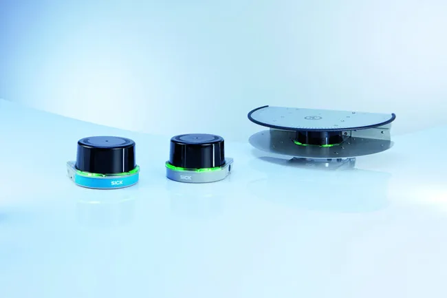
    SICK says that it’s recently launched LMS1000 and MRS1000 infrared LiDAR sensors deliver more accurate and reliable distance sensing and measurement, especially in difficult conditions. The robust, compact sensors weigh just 1.2kg and come with rotatable connectors for easy mounting on gantries. Heavy rain, mist, dust or snow can lead to false signals, explained Neil Sandhu, SICK’s national product manager for imaging, measurement, ranging and systems. The addition of SICK’s triple-echo HDDM+ - High Defini
  • GPS machine control systems reduce survey time
    February 14, 2012
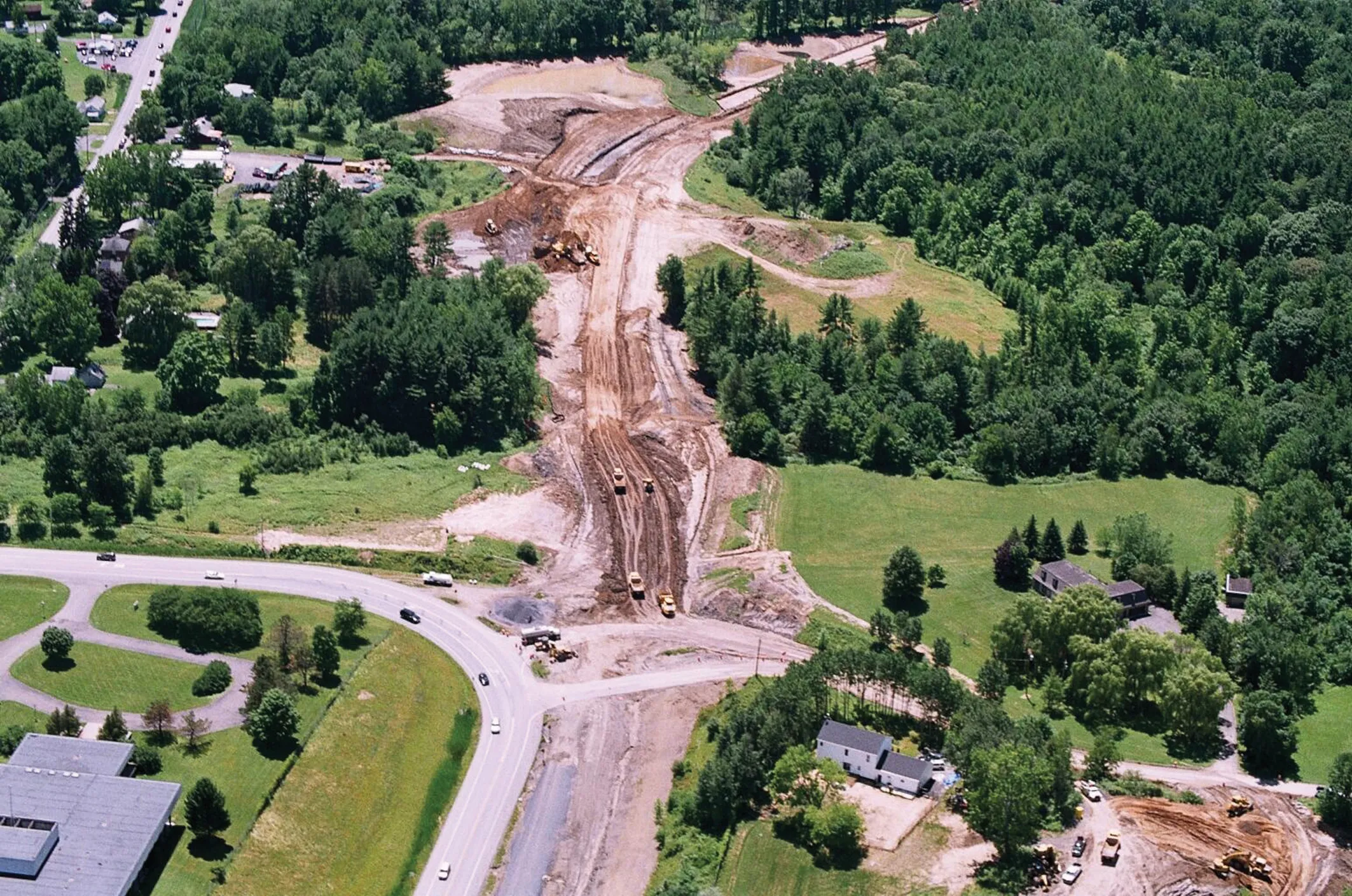
    Innovative uses are being made of GPS technology, Mike Woof reports. US firms Creighton Manning Engineering and Delaney Construction have made a novel use of GPS technology in a project for the Route 85 Slingerlands bypass extension in the US.
  • Asphalt paving is seeing innovative new technology
    April 4, 2013
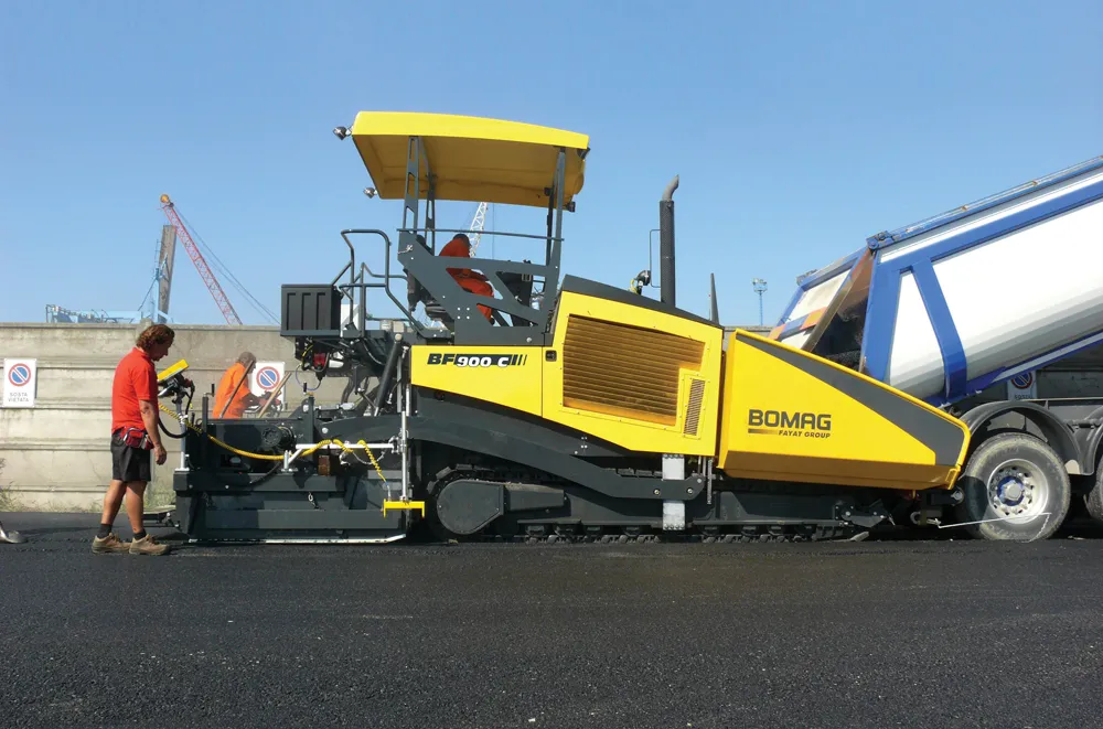
    With new machines coming to market, the asphalt paving sector is seeing an array of sophisticated technology now available