Accurate positioning with Leica Geosystems

The new Zeno GG04 smart antenna from Leica Geosystems is said to increase access to GIS and boost tracking performance. This is said to deliver a versatile solution that can improve the accuracy of GNSS mobile devices with real-time Kinematic (RTK) and precise point positioning (PPP). Paired with the Zeno GG04, any Zeno or third party mobile device with Android or Windows OS can now collect precise positioning data with Leica Geosystems’ GNSS technology and 555-channel tracking performance. With PPP, users
June 19, 2017 Read time: 2 mins
The new smart antenna from Leica Geosystems offers increased tracking accuracy
The new Zeno GG04 smart antenna from Leica Geosystems is said to increase access to GIS and boost tracking performance.


This is said to deliver a versatile solution that can improve the accuracy of GNSS mobile devices with real-time Kinematic (RTK) and precise point positioning (PPP).

Paired with the Zeno GG04, any Zeno or third party mobile device with 1223 Android or Windows OS can now collect precise positioning data with 265 Leica Geosystems’ GNSS technology and 555-channel tracking performance. With PPP, users can collect data even in areas without cellular coverage. The bring-your-own-device (BYOD) functionality enables any smart device to collect survey-grade data, delivering centimetre results.

With the Zeno Connect app, any third-party app is compatible with the Zeno GG04 smart antenna. The Zeno Mobile, Zeno Connect or 212 Esri’s Collector for ArcGIS apps provide an easy and familiar platform for non-surveying professionals to collect and analyse data. Organisations can integrate and optimise data in real time from different sources to collect all details of any project from anywhere in the world.

For more information on companies in this article

Related Content

  • Hexagon buys SCCS, a supplier of Leica Geosystems in the UK
    January 13, 2016
    Hexagon has acquired Paul MacArthur Limited, SCCS – a UK supplier of surveying equipment to the engineering and infrastructure market and a Leica Geosystems distributor for over 20 years. SCCS, based in Cambridge, England, provides surveying solutions across the country, offering customers rent, purchase and service options in the road, rail and construction projects. “As the UK continues to fund major infrastructure projects with more stringent processes related to Building Information Modelling (BIM
  • Doosan’s new asset management system
    September 8, 2021
    Doosan now offers a mobile app for its successful DoosanCONNECT TMS2.0 fleet and asset management system
  • A magnet for building work
    June 21, 2012
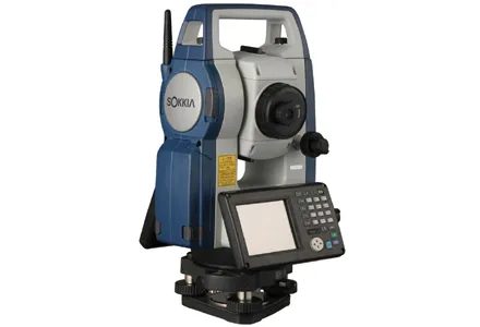
    Sokkia has launched its new FX reflectorless total station – said to come with the construction industry’s most complete package of innovative technologies. The FX includes on-board Magnet Field application software, the TSshield telematics-based communications module, and a long-range wireless communications system using Bluetooth Class 1 technology.
  • Benin airport job for Topcon’s RD-M1 scanner
    May 13, 2022
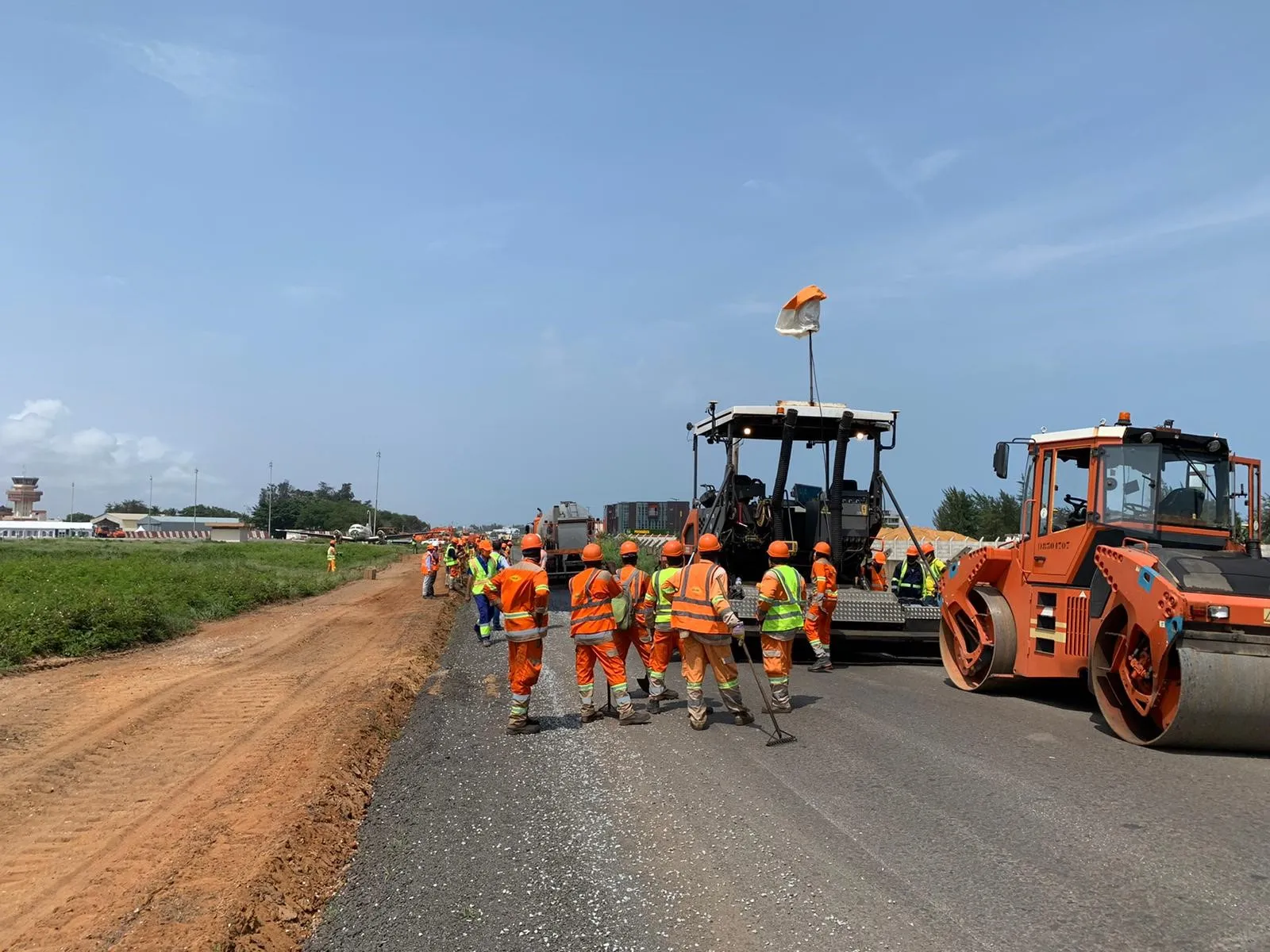
    A $16 million runway project at Cotonou Cadjehoun Airport needed Topcon Positioning’s RD-M1 road scanner to ensure precise milling and quality resurfacing.