Accurate positioning with Leica Geosystems

The new Zeno GG04 smart antenna from Leica Geosystems is said to increase access to GIS and boost tracking performance. This is said to deliver a versatile solution that can improve the accuracy of GNSS mobile devices with real-time Kinematic (RTK) and precise point positioning (PPP). Paired with the Zeno GG04, any Zeno or third party mobile device with Android or Windows OS can now collect precise positioning data with Leica Geosystems’ GNSS technology and 555-channel tracking performance. With PPP, users
June 19, 2017 Read time: 2 mins
The new smart antenna from Leica Geosystems offers increased tracking accuracy
The new Zeno GG04 smart antenna from Leica Geosystems is said to increase access to GIS and boost tracking performance.


This is said to deliver a versatile solution that can improve the accuracy of GNSS mobile devices with real-time Kinematic (RTK) and precise point positioning (PPP).

Paired with the Zeno GG04, any Zeno or third party mobile device with 1223 Android or Windows OS can now collect precise positioning data with 265 Leica Geosystems’ GNSS technology and 555-channel tracking performance. With PPP, users can collect data even in areas without cellular coverage. The bring-your-own-device (BYOD) functionality enables any smart device to collect survey-grade data, delivering centimetre results.

With the Zeno Connect app, any third-party app is compatible with the Zeno GG04 smart antenna. The Zeno Mobile, Zeno Connect or 212 Esri’s Collector for ArcGIS apps provide an easy and familiar platform for non-surveying professionals to collect and analyse data. Organisations can integrate and optimise data in real time from different sources to collect all details of any project from anywhere in the world.

For more information on companies in this article

Related Content

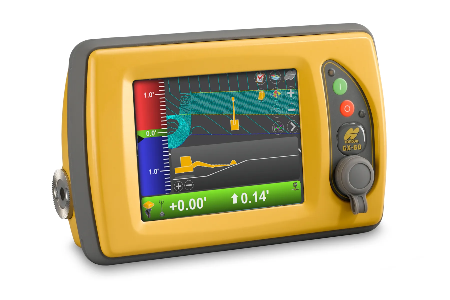
  • Topcon’s multi-platform i33 3D indicate system
    February 25, 2014
    The i33 is Topcon’s cutting-edge economical and multi-platform 3D indicate grade system. The new system features GPS technology and a graphical display to provide a powerful indicate system at an economical price.
  • Machine control boosting paving quality
    April 27, 2015
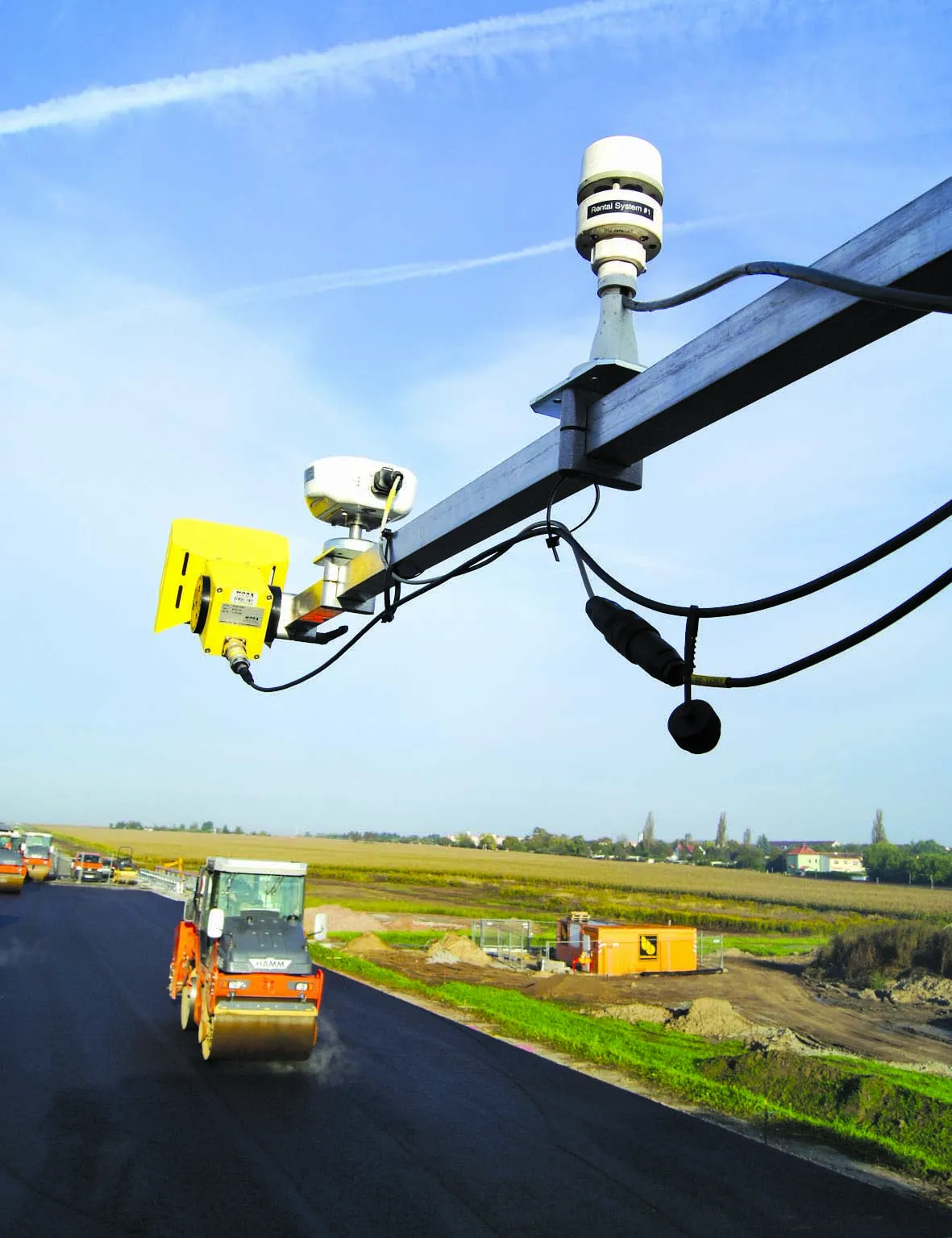
    The use of machine control technology on a bypass construction job has boosted quality quality control is a topic that clients as well as contractors are finding increasingly important. Control systems are being used more and more often on construction sites as a result, so as to collect data on a range of processes. This includes looking at the asphalt being supplied to site and on the quality of paving during construction. Using this data, processes can be optimised in the medium-term and, in the long-ter
  • Data sharing boosts workzone safety
    March 19, 2012
    Faster and safer utilities works are the benefit of innovative data sharing moves – Mike Woof writes. Utilities works in urban areas can cause major problems with regard to traffic congestion, as well as posing key safety issues for road users and site workers. Better planning of utilities operations can help tackle congestion and prevent jams, while also ensuring that on-site personnel have a safer working environment. To ensure that site workers know the exact location of buried utilities, comprehensive m
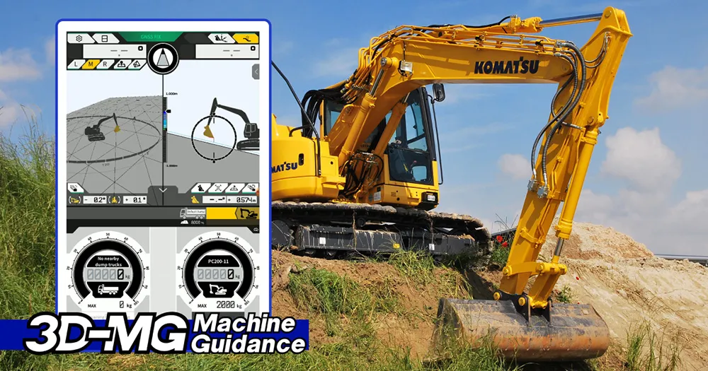
  • Komatsu introduces 3D machine guidance and payload functions for crawler and wheeled excavators
    April 5, 2024
    Drawing on a decade of experience and a deep understanding of the intelligent Machine Control system, Komatsu now offers Smart Construction 3D Machine Guidance kit as a simple and flexible technological enhancement for a broad range of standard Komatsu machines and mixed fleets.