Accurate positioning with Leica Geosystems

The new Zeno GG04 smart antenna from Leica Geosystems is said to increase access to GIS and boost tracking performance. This is said to deliver a versatile solution that can improve the accuracy of GNSS mobile devices with real-time Kinematic (RTK) and precise point positioning (PPP). Paired with the Zeno GG04, any Zeno or third party mobile device with Android or Windows OS can now collect precise positioning data with Leica Geosystems’ GNSS technology and 555-channel tracking performance. With PPP, users
June 19, 2017 Read time: 2 mins
The new smart antenna from Leica Geosystems offers increased tracking accuracy
The new Zeno GG04 smart antenna from Leica Geosystems is said to increase access to GIS and boost tracking performance.


This is said to deliver a versatile solution that can improve the accuracy of GNSS mobile devices with real-time Kinematic (RTK) and precise point positioning (PPP).

Paired with the Zeno GG04, any Zeno or third party mobile device with 1223 Android or Windows OS can now collect precise positioning data with 265 Leica Geosystems’ GNSS technology and 555-channel tracking performance. With PPP, users can collect data even in areas without cellular coverage. The bring-your-own-device (BYOD) functionality enables any smart device to collect survey-grade data, delivering centimetre results.

With the Zeno Connect app, any third-party app is compatible with the Zeno GG04 smart antenna. The Zeno Mobile, Zeno Connect or 212 Esri’s Collector for ArcGIS apps provide an easy and familiar platform for non-surveying professionals to collect and analyse data. Organisations can integrate and optimise data in real time from different sources to collect all details of any project from anywhere in the world.

For more information on companies in this article

Related Content

  • A sophisticated data communications system is offered by Trimble
    March 8, 2013
    Trimble says that its combined device for mobile communications and surveying data collection offers high performance and reliability. Called the Trimble Slate Controller, this rugged new unit is said to combine the convenience and ease-of-use of a smartphone with durability. Optimised for use with the Trimble Access field software and the Trimble R4 GNSS receiver, the Trimble Slate Controller supports a surveyor’s workflows. Offering voice, SMS text, and 3.75G cellular data transfer capabilities on GSM cel
  • Europe's smart road pricing project
    April 12, 2012
    New trials pave the way for smart road pricing using Global Navigation Satellite Systems (GNSS). In recent years, the concept of road charging has been gaining acceptability among Europe's policymakers.
  • Bentley's iTwin Experience, Capture and IoT
    November 24, 2022
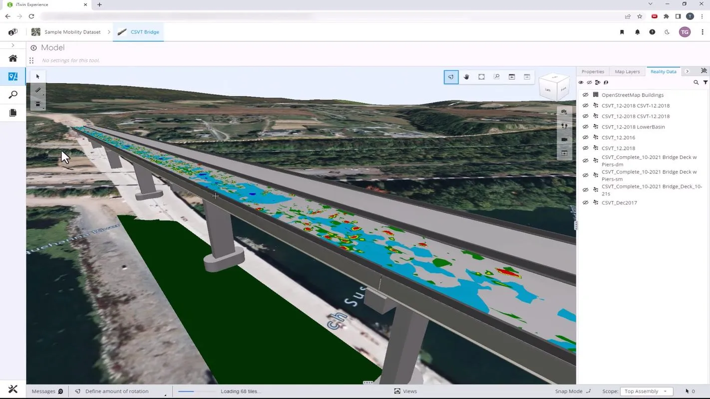
    Bentley Systems has launched iTwin Experience, iTwin Capture and iTwin IoT to improve the performance of its digital twin analysis platform iTwin.
  • Drilling efficiency
    February 20, 2012
    The latest developments in drilling rigs can help boost efficiency in quarry producion applications - Mike Woof reports