Accurate positioning with Leica Geosystems

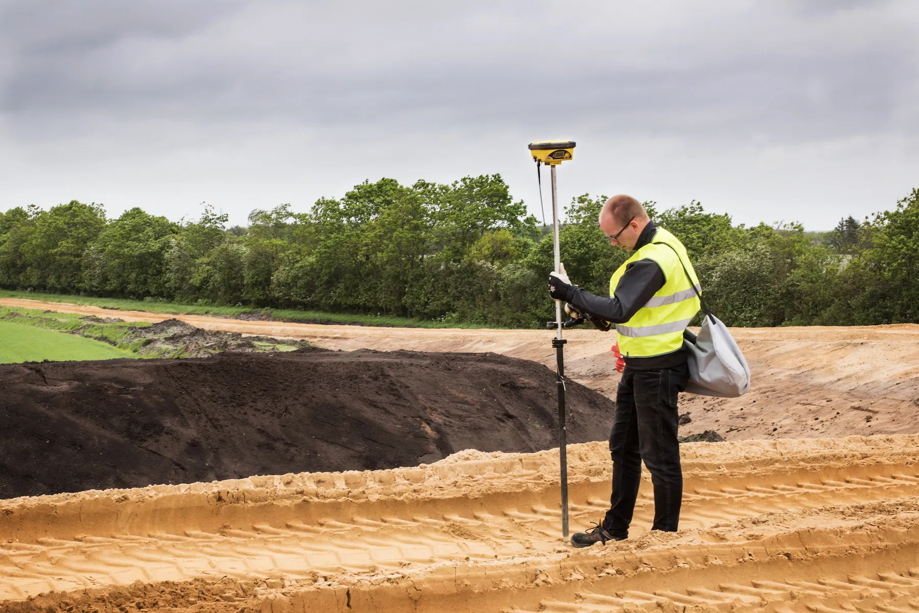
The new Zeno GG04 smart antenna from Leica Geosystems is said to increase access to GIS and boost tracking performance. This is said to deliver a versatile solution that can improve the accuracy of GNSS mobile devices with real-time Kinematic (RTK) and precise point positioning (PPP). Paired with the Zeno GG04, any Zeno or third party mobile device with Android or Windows OS can now collect precise positioning data with Leica Geosystems’ GNSS technology and 555-channel tracking performance. With PPP, users
June 19, 2017 Read time: 2 mins
The new smart antenna from Leica Geosystems offers increased tracking accuracy
The new Zeno GG04 smart antenna from Leica Geosystems is said to increase access to GIS and boost tracking performance.


This is said to deliver a versatile solution that can improve the accuracy of GNSS mobile devices with real-time Kinematic (RTK) and precise point positioning (PPP).

Paired with the Zeno GG04, any Zeno or third party mobile device with 1223 Android or Windows OS can now collect precise positioning data with 265 Leica Geosystems’ GNSS technology and 555-channel tracking performance. With PPP, users can collect data even in areas without cellular coverage. The bring-your-own-device (BYOD) functionality enables any smart device to collect survey-grade data, delivering centimetre results.

With the Zeno Connect app, any third-party app is compatible with the Zeno GG04 smart antenna. The Zeno Mobile, Zeno Connect or 212 Esri’s Collector for ArcGIS apps provide an easy and familiar platform for non-surveying professionals to collect and analyse data. Organisations can integrate and optimise data in real time from different sources to collect all details of any project from anywhere in the world.

For more information on companies in this article

Related Content

  • More satellites, more signals
    July 20, 2012
    Greater GPS accuracy suggests closer tolerances for surveying and machine control functions What happens in the future for GPS surveying and machine control could depend on satellite choice and signals. Right now there are around 30 satellites in orbit, largely built by the US, but by 2012 that could rise to 120 as Europe, China, India and Russia fully enter the market. A chequered history has faced the European's Galileo system. At long last, the finance appears to be in place and the European Commission a
  • Reality check: Topcon’s Aptix
    July 20, 2023
    The biggest challenge facing construction professionals and general contractors is disconnected data and/or siloed data sources. The recently launched Aptix integration platform has broken down these silos, explains Topcon’s Scott Langbein.
  • Machine control technology boosting efficiency
    December 15, 2017
    Hemisphere says that its new S321+ and C321+ GNSS smart antennae are well-suited to mounting on construction equipment to offer machine control technology. The multi-frequency S321+ and C321+ systems offer Athena RTK and Atlas GNSS global corrections and are upgrades to their previous versions. The new units have additional capabilities and are powered by the Eclipse P326 OEM board, supporting 394 channels. These can simultaneously track all satellite signals including GPS, GLONASS, BeiDou, Galileo, and QZS
  • Danish digging for Leica Geosystems’ 3D machine control
    October 26, 2017
    In Denmark’s northern Jutland, Leica Geosystems’ equipment is being used to help build a 40km motorway, one of the fastest-built such projects in the country’s history. The Danish Road Directorate is the client for the €5.4 million motorway between the two Danish cities of Herning, to the south with around 50,000 people, and Holstebro, a city of about 35,000 people, north of Herning. Preliminary ground investigations were made in 2013 and work started in 2015 with completion set for 2018.