Accurate positioning with Leica Geosystems

The new Zeno GG04 smart antenna from Leica Geosystems is said to increase access to GIS and boost tracking performance. This is said to deliver a versatile solution that can improve the accuracy of GNSS mobile devices with real-time Kinematic (RTK) and precise point positioning (PPP). Paired with the Zeno GG04, any Zeno or third party mobile device with Android or Windows OS can now collect precise positioning data with Leica Geosystems’ GNSS technology and 555-channel tracking performance. With PPP, users
June 19, 2017 Read time: 2 mins
The new smart antenna from Leica Geosystems offers increased tracking accuracy
The new Zeno GG04 smart antenna from Leica Geosystems is said to increase access to GIS and boost tracking performance.


This is said to deliver a versatile solution that can improve the accuracy of GNSS mobile devices with real-time Kinematic (RTK) and precise point positioning (PPP).

Paired with the Zeno GG04, any Zeno or third party mobile device with 1223 Android or Windows OS can now collect precise positioning data with 265 Leica Geosystems’ GNSS technology and 555-channel tracking performance. With PPP, users can collect data even in areas without cellular coverage. The bring-your-own-device (BYOD) functionality enables any smart device to collect survey-grade data, delivering centimetre results.

With the Zeno Connect app, any third-party app is compatible with the Zeno GG04 smart antenna. The Zeno Mobile, Zeno Connect or 212 Esri’s Collector for ArcGIS apps provide an easy and familiar platform for non-surveying professionals to collect and analyse data. Organisations can integrate and optimise data in real time from different sources to collect all details of any project from anywhere in the world.

For more information on companies in this article

Related Content

  • Using machine control in earthmoving boosts efficiency
    December 19, 2017
    The use of new machine control tools has made a significant boost in earthmoving efficiency. Automated grade control using GNSS signals has transformed how earthmoving contractors get work done. Through the engineering efforts of its innovators and developers, machine control technology has been improved and refined over the years. A development in the ongoing evolution of machine control technology is Topcon Positioning Systems’ introduction of its 3D-MCMAX integrated 3D dozer system. Most notably, the
  • Construction trends in North America, looking to the future
    June 10, 2019
    Exciting changes in construction will reward the aware contractor - *Jeff Winke comments Hop in a car and drive anywhere in the US and chances are the drive will be on roads and highways that need patching, resurfacing, or widening, and bridges often show signs of needed maintenance. Sadly, things are in bad shape. On the last two report cards from the American Society of Civil Engineers, the US infrastructure scored a D+. This year’s report urges the government and private sector to increase spending
  • New array of earthmoving machines
    August 7, 2020
    Several firms are introducing new earthmoving machines with increased performance
  • Increased dozing capacity from Caterpillar
    October 9, 2018
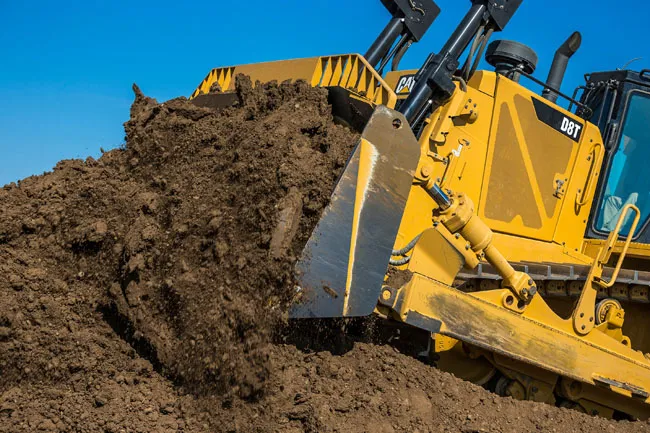
    Caterpillar claims that its new D8T Dozer delivers more productivity, better fuel efficiency and greater ease of operation. The firm says that the new dozer is designed to move more material in less time, at a lower cost/tonne, while delivering a faster return on investment. The bulldozer features a new fully automatic transmission, which the firm claims offers a productivity gain of up to 18%, without using more fuel. Added blade capacity, increased power and steering performance, and technology options