Accurate positioning with Leica Geosystems

The new Zeno GG04 smart antenna from Leica Geosystems is said to increase access to GIS and boost tracking performance. This is said to deliver a versatile solution that can improve the accuracy of GNSS mobile devices with real-time Kinematic (RTK) and precise point positioning (PPP). Paired with the Zeno GG04, any Zeno or third party mobile device with Android or Windows OS can now collect precise positioning data with Leica Geosystems’ GNSS technology and 555-channel tracking performance. With PPP, users
June 19, 2017 Read time: 2 mins
The new smart antenna from Leica Geosystems offers increased tracking accuracy
The new Zeno GG04 smart antenna from Leica Geosystems is said to increase access to GIS and boost tracking performance.


This is said to deliver a versatile solution that can improve the accuracy of GNSS mobile devices with real-time Kinematic (RTK) and precise point positioning (PPP).

Paired with the Zeno GG04, any Zeno or third party mobile device with 1223 Android or Windows OS can now collect precise positioning data with 265 Leica Geosystems’ GNSS technology and 555-channel tracking performance. With PPP, users can collect data even in areas without cellular coverage. The bring-your-own-device (BYOD) functionality enables any smart device to collect survey-grade data, delivering centimetre results.

With the Zeno Connect app, any third-party app is compatible with the Zeno GG04 smart antenna. The Zeno Mobile, Zeno Connect or 212 Esri’s Collector for ArcGIS apps provide an easy and familiar platform for non-surveying professionals to collect and analyse data. Organisations can integrate and optimise data in real time from different sources to collect all details of any project from anywhere in the world.

For more information on companies in this article

Related Content

  • Cat 308 in the bag for ZQUIP and Leica
    June 18, 2025


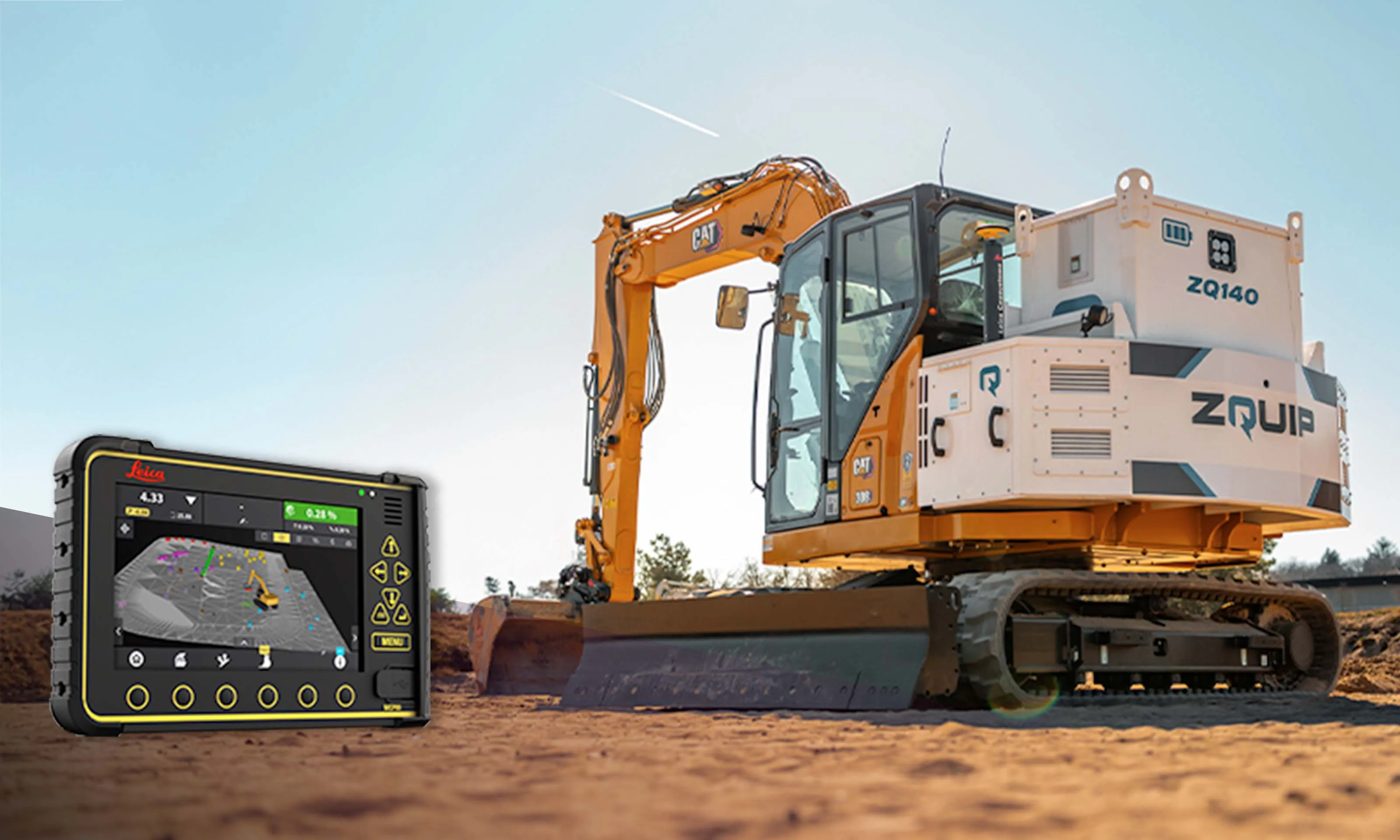
    ZQUIP and Leica Geosystems have collaborated on a prototype 8tonne excavator that is geospatially intelligent and powered by a swappable, zero-emissions battery system.

    The modified CAT 308 concept excavator was successfully tested at a proving ground in France, noted ZQUIP, part of Moog Construction, and Leica Geosystems, part of Hexagon. The smart, clean vehicle is equipped with Leica Geosystems’ advanced machine control solution, which brings real-time data and precise design execution.

  • GPS machine control boosts productivity
    February 23, 2012
    New technology can allow more productive and more cost-effective earthmoving jobs. Mike Woof reports
  • Precision pinpointing
    March 1, 2012
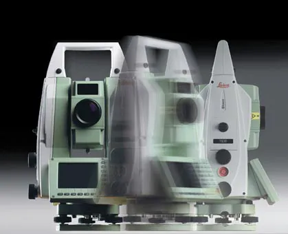
    Leica Geosystems says that its TS30 package is a new high precision Total Station that meets highest standards in all surveying applications. Distances can now be measured with Leica Geosystems' proven PinPoint EDM Technology with an unprecedented precision of 0.6mm + 1ppm on prisms. On natural surfaces a high accuracy of 2mm + 2ppm up to 1,000m can be achieved.
  • Don't buy, subscribe instead... and stay ahead of the pack
    September 19, 2024
    The traditional way of doing things is to own the construction equipment you need on site. You can buy, or you can rent. You mix and match your technology needs with what is happening on site and your costs go up and down accordingly. However, a new model is emerging: Subscriptions. Take out a flat-fee plan and let someone else make sure you can get access to the latest thinking and the cleverest technology. Pete Kennedy reports.