Accurate positioning with Leica Geosystems

The new Zeno GG04 smart antenna from Leica Geosystems is said to increase access to GIS and boost tracking performance. This is said to deliver a versatile solution that can improve the accuracy of GNSS mobile devices with real-time Kinematic (RTK) and precise point positioning (PPP). Paired with the Zeno GG04, any Zeno or third party mobile device with Android or Windows OS can now collect precise positioning data with Leica Geosystems’ GNSS technology and 555-channel tracking performance. With PPP, users
June 19, 2017 Read time: 2 mins
The new smart antenna from Leica Geosystems offers increased tracking accuracy
The new Zeno GG04 smart antenna from Leica Geosystems is said to increase access to GIS and boost tracking performance.


This is said to deliver a versatile solution that can improve the accuracy of GNSS mobile devices with real-time Kinematic (RTK) and precise point positioning (PPP).

Paired with the Zeno GG04, any Zeno or third party mobile device with 1223 Android or Windows OS can now collect precise positioning data with 265 Leica Geosystems’ GNSS technology and 555-channel tracking performance. With PPP, users can collect data even in areas without cellular coverage. The bring-your-own-device (BYOD) functionality enables any smart device to collect survey-grade data, delivering centimetre results.

With the Zeno Connect app, any third-party app is compatible with the Zeno GG04 smart antenna. The Zeno Mobile, Zeno Connect or 212 Esri’s Collector for ArcGIS apps provide an easy and familiar platform for non-surveying professionals to collect and analyse data. Organisations can integrate and optimise data in real time from different sources to collect all details of any project from anywhere in the world.

For more information on companies in this article

Related Content

  • Automatic control
    February 7, 2012
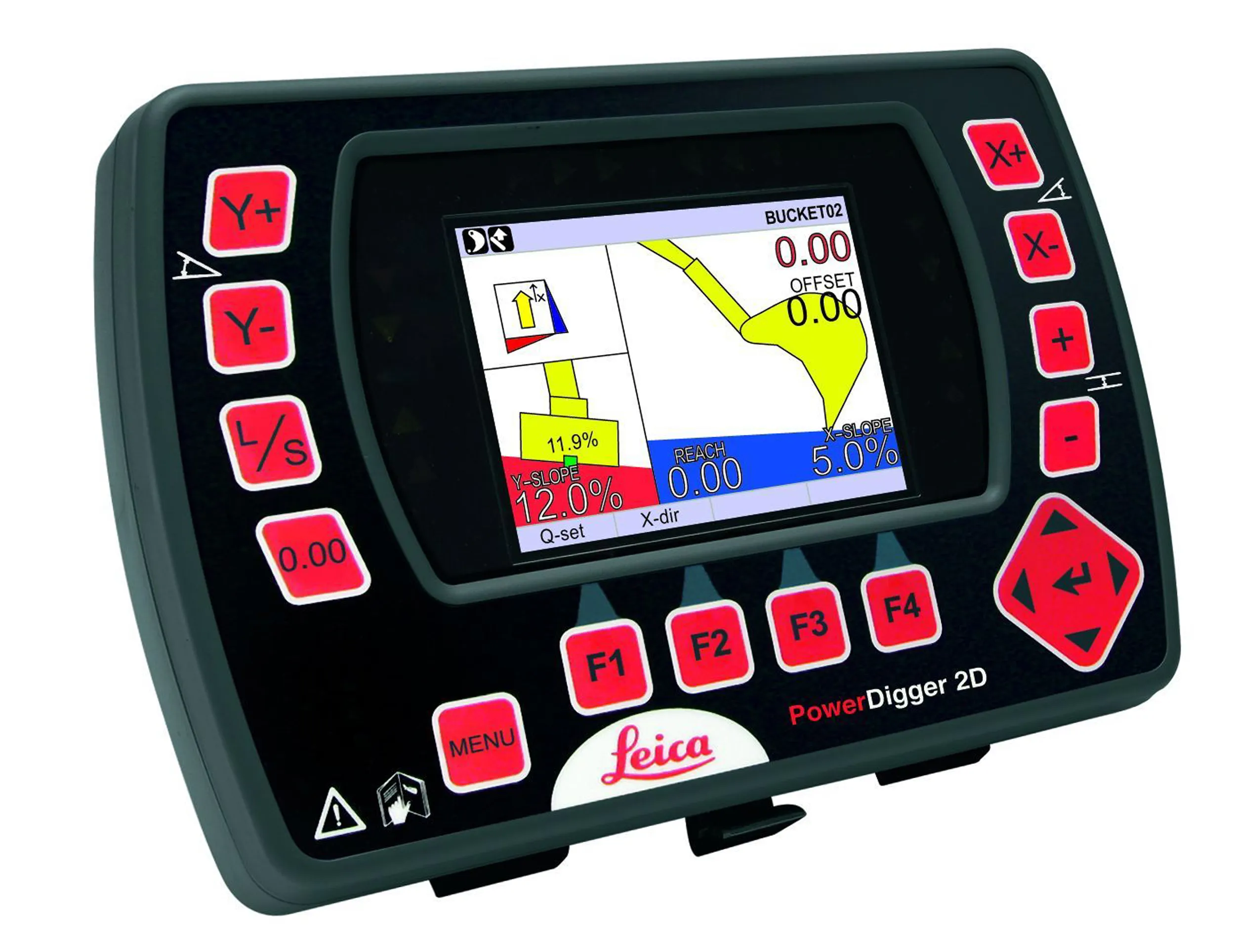
    Leica Geosystems says that sophisticated PowerDigger 2D guidance system for excavators offers automatic slope control. The system expands on its PowerSnap technology and is said to make excavating easier and more productive. The system uses a standard panel whether fitted to a dozer, excavator or grader, which is also said to save money on training and equipment, as well as reducing down time. Leica PowerDigger 2D system allows multiple elevations and slopes to be constructed at any orientation, witho
  • IBI’s Routemapper charts new territory with Highways England
    September 14, 2016
    Mapping the asset High-speed data collection just got faster for England’s newly created strategic roads operator Highways England’s establishment as a publicly held company in 2015 created a need for a highly accurate asset inventory. This was potentially very costly and had serious safety implications. As well as its relationships with numerous managing agents and contractors, assets include 35,300km of highway, 12,100km of earthworks, 23,200km of safety fences, 150,000 technology assets and sig
  • Low temperature asphalt and aggregate options’
    February 7, 2014
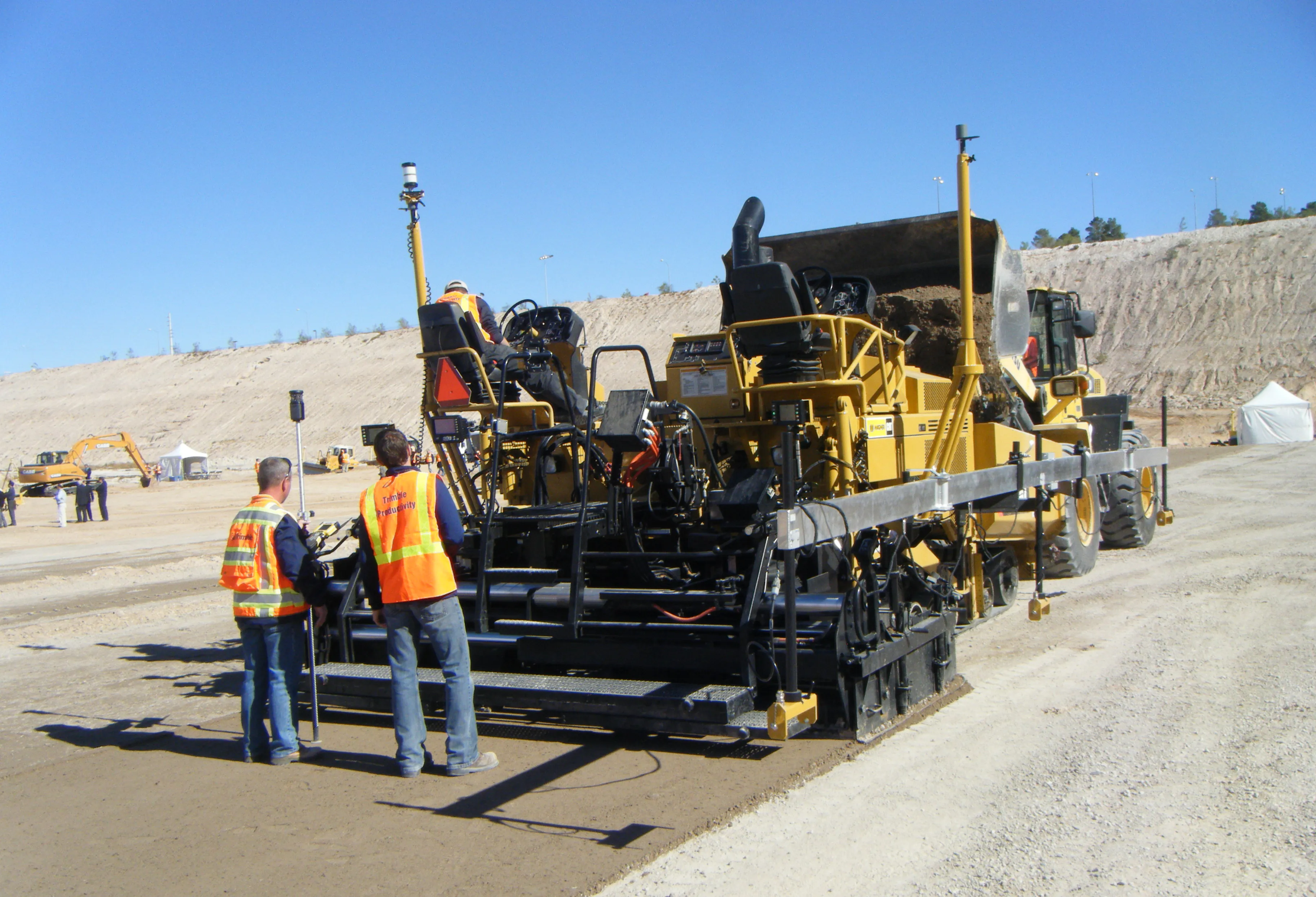
    At what point does ‘some technology’ become ‘enough technology’? Less than four years ago industry publications were filled with a persistent message, the reluctance of UK based contractors to adopt machine control to the same extent as near European neighbours, particularly close ones such as Ireland and Holland. However from 2009 onwards we have seen a huge shift in demand for machine control as the success of high profile road and rail jobs such as the M25 widening scheme and Airdrie – Bathgate rail
  • High-accuracy receiver
    September 29, 2022
    Trimble is introducing its advanced BD9250, a dual-frequency OEM GNSS receiver module that supports Trimble RTX correction services. The receiver is designed to deliver high-accuracy positioning for a range of high-volume, autonomous-ready applications used in the construction sector.