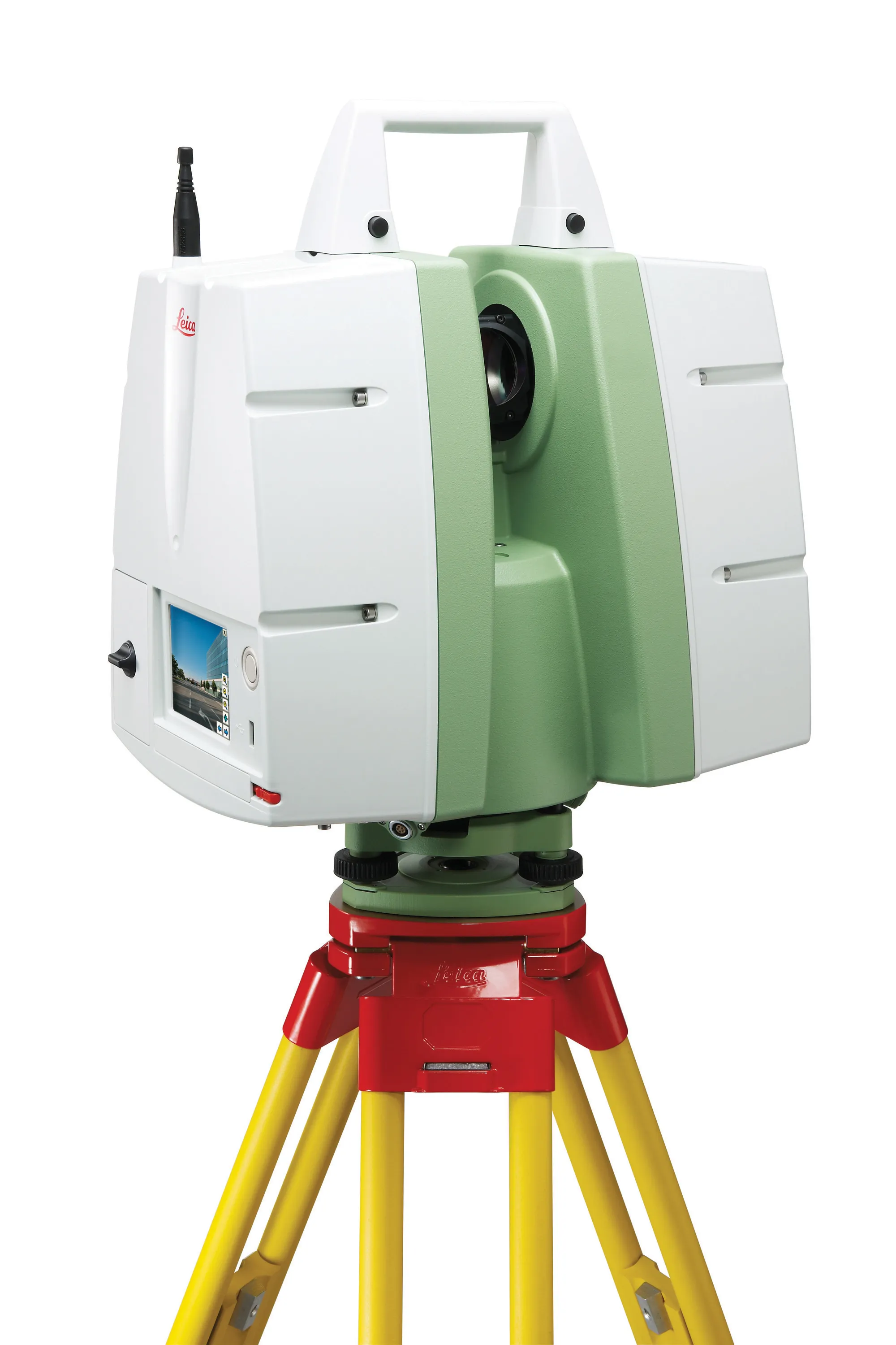
Accurate laser scanning with Leica Geosystems

A new handheld imaging laser scanner from Leica Geosystems is said to offer high efficiency for surveyors.
February 6, 2020 Read time: 1 min
Fast laser surveying is possible with the new tool from Leica Geosystems

The BLK2GO handheld imaging laser scanner is said to be the first-of-its-kind mobile scanner that can scan complex spaces efficiently and quickly due to its LiDAR, SLAM (simultaneous localisation and mapping) and edge computing technologies.

The laser scanner can capture 3D environments while the user is in motion, and generate 3D point clouds continuously. Compact in design, the unit allows access to spaces that may have been difficult or impossible to scan before.

Combining two-axis LiDAR with visual SLAM technologies, the BLK2GO will accurately follow a user’s trajectory while scanning. When used with the iOS app, users can get live feedback, check the device status, or do quick data inspection.

For more information on companies in this article

Related Content

  • HxGN Live 2014: Leica CEO highlights IT-led road construction and mining gains
    June 4, 2014
    Leica Geosystems’ CEO and president Jürgen Dold has highlighted to HxGN 2014 Live delegates how dynamic geospatial systems are creating more effective and safer workflows on road construction sites and in mining.
  • Laser scanning versatility
    February 13, 2012
    The upgraded ScanStation C10 laser scanning system from Leica Geosystems now offers high performance as well as increased versatility and productivity.
  • Machine control technology evolving fast
    February 8, 2012
    The machine control market is evolving fast and is increasingly becoming part of a much wider construction site management concept, Mike Woof reports. Machine control technology has come a long way in the past 20 years and the development of 2D and 3D systems has been rapid in the construction sector.
  • Advanced laser scanner from Leica Geo Systems
    March 1, 2023
    Leica Geosystems, part of the Hexagon Group, has developed an autonomous flying laser scanner. “For the past several years, we have been on a mission to democratise reality capture with the BLK product series, including the BLK2FLY, the world’s first autonomous flying laser scanner,” said Craig Martin, President US/Canada at Hexagon’s Geosystems division.