Accurate laser scanning with Leica Geosystems

A new handheld imaging laser scanner from Leica Geosystems is said to offer high efficiency for surveyors.
February 6, 2020 Read time: 1 min
Fast laser surveying is possible with the new tool from Leica Geosystems

The BLK2GO handheld imaging laser scanner is said to be the first-of-its-kind mobile scanner that can scan complex spaces efficiently and quickly due to its LiDAR, SLAM (simultaneous localisation and mapping) and edge computing technologies.

The laser scanner can capture 3D environments while the user is in motion, and generate 3D point clouds continuously. Compact in design, the unit allows access to spaces that may have been difficult or impossible to scan before.

Combining two-axis LiDAR with visual SLAM technologies, the BLK2GO will accurately follow a user’s trajectory while scanning. When used with the iOS app, users can get live feedback, check the device status, or do quick data inspection.

For more information on companies in this article

Related Content

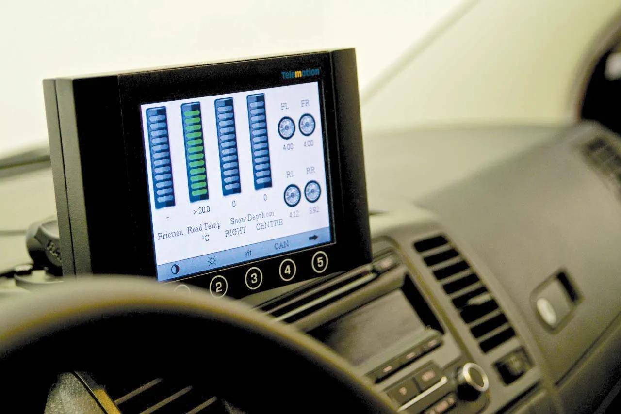
  • Accurate road surface analysis system from Telemotion
    August 13, 2014
    A sophisticated road surface friction monitoring system is now being offered by Telemotion. This advanced Surface Friction System can capture real-time data on road surfaces for winter roads maintenance and warnings for drivers. The system operates on asphalt, concrete or snow, and even accurately calculates the depth of snow on the surface, as well as temperatures.
  • Smooth sailing for paving with Topcon’s SmoothRide
    April 14, 2016
    Topcon Positioning Group’s new road scanning solution SmoothRide can gather highway asset data at highway speeds with no need for lane closures, crash trucks or escorts. SmoothRide is a vehicle-mounted resurfacing solution for paving and milling projects. It uses a combination of core Topcon technologies designed to deliver the smoothest surface possible, while efficiently managing the quantity of material for each project.
  • Weigh-in-motion key to maximising road life
    February 24, 2012
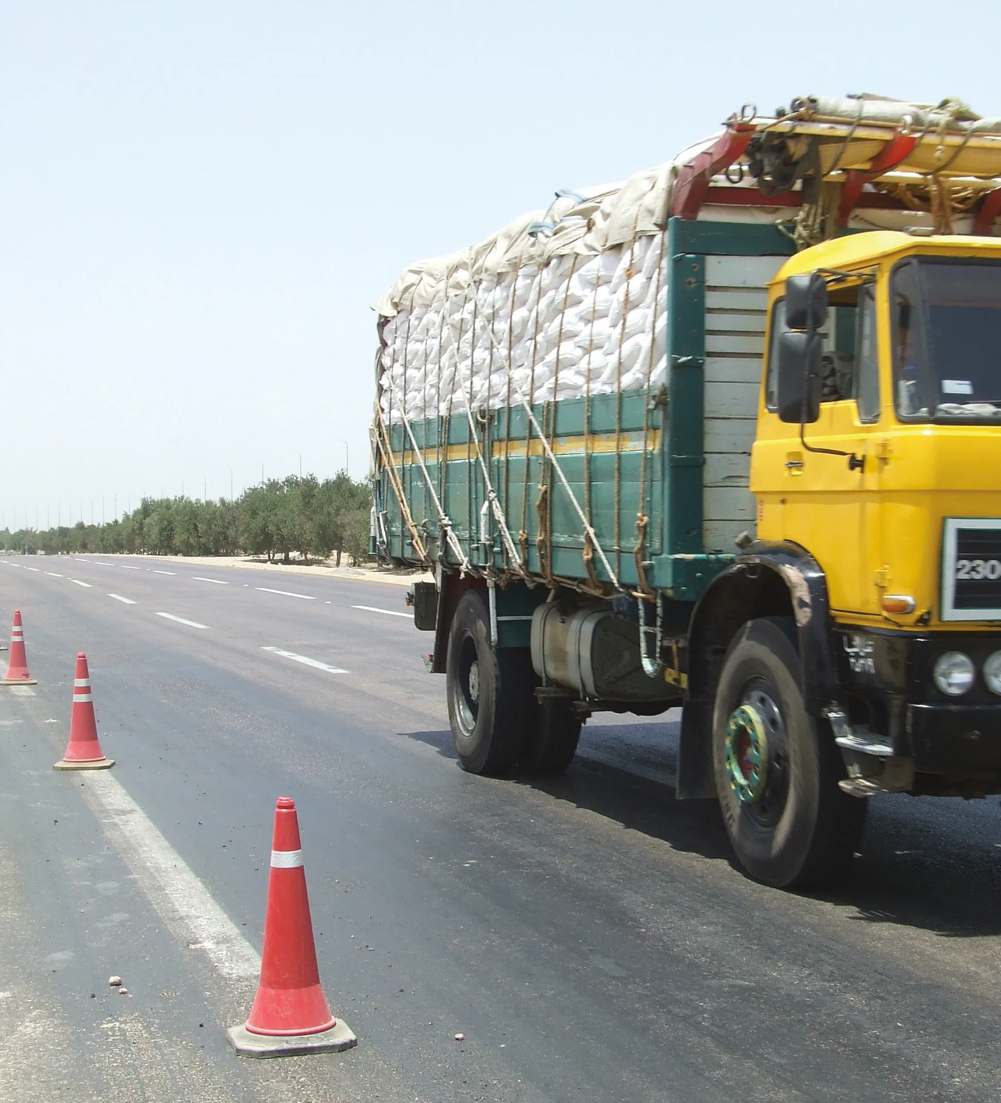
    The market and technology for weigh-in-motion systems continues to evolve – Mike Woof writes. for both mature and developing highway infrastructure networks, traffic densities play an important role in determining road wear and life. Monitoring traffic volumes and individual vehicle weight is crucial for ensuring roads can cope in the long term and that maintenance can be planned, while the problem of overloading can be eliminated.
  • Researchers trial 3D printing for both concrete and asphalt roads
    February 27, 2019
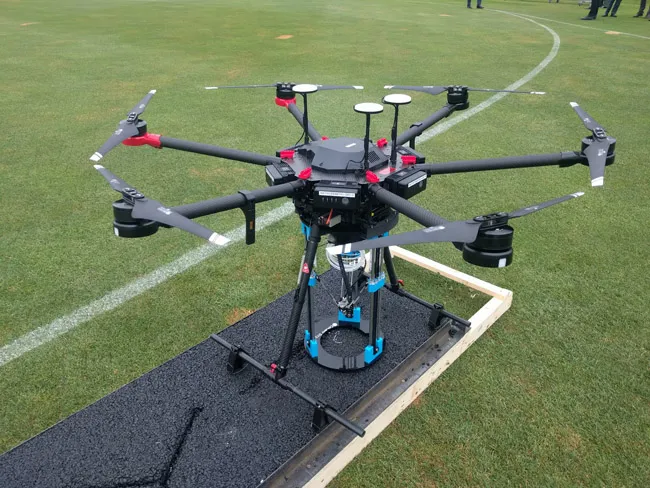
    Automated road repairs, using 3D printing, could save money and vastly reduce disruption, and researchers are already showing it’s possible - Kristina Smith reports It’s the middle of the night, and in the street below a team is busy carrying out repairs to the road surface. But there isn’t a human in sight. A road repair drone has landed at the site of a crack and a 3D asphalt printer is now busy filling in that crack. A group of traffic cone drones have positioned themselves around the repair location