Accurate laser scanning with Leica Geosystems

A new handheld imaging laser scanner from Leica Geosystems is said to offer high efficiency for surveyors.
February 6, 2020 Read time: 1 min
Fast laser surveying is possible with the new tool from Leica Geosystems

The BLK2GO handheld imaging laser scanner is said to be the first-of-its-kind mobile scanner that can scan complex spaces efficiently and quickly due to its LiDAR, SLAM (simultaneous localisation and mapping) and edge computing technologies.

The laser scanner can capture 3D environments while the user is in motion, and generate 3D point clouds continuously. Compact in design, the unit allows access to spaces that may have been difficult or impossible to scan before.

Combining two-axis LiDAR with visual SLAM technologies, the BLK2GO will accurately follow a user’s trajectory while scanning. When used with the iOS app, users can get live feedback, check the device status, or do quick data inspection.

For more information on companies in this article

Related Content

  • US road asset map
    December 13, 2024
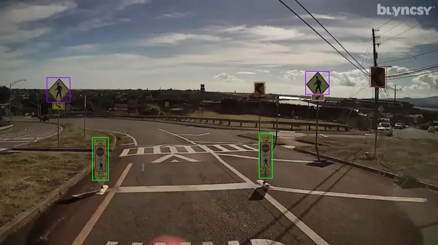
    A comprehensive map of the US interstate network is now available through Blyncsy, part of Bentley Systems.
  • A milestone in hazard reduction – BOMAG Emergency Brake Assist
    October 14, 2024
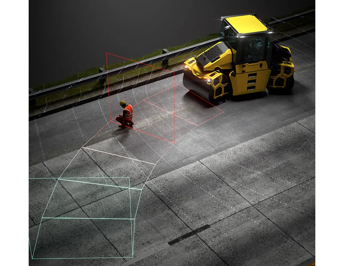
    Avoiding dangerous situations on the construction site: this is one of BOMAG's core principles when developing new components and technologies. Optimising the interaction between human and machine plays a key role here. This also applies to BOMAG's latest automated assistance system: Emergency Brake Assist, which was designed for use on the AP-5 generation of pivot-steered BOMAG tandem rollers.
  • Precision road construction in Romania
    October 27, 2021
    Austrian contractor PORR is setting new trends with its work on the Sibiu highway in Romania
  • MOBA’s mobile automation solutions at Conexpo
    January 6, 2017
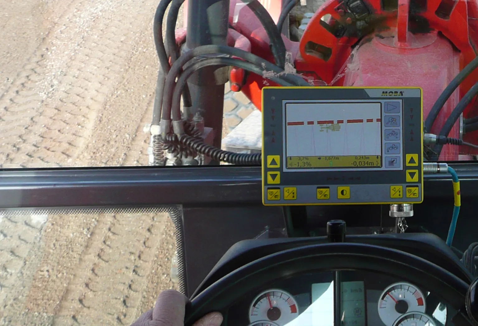
    MOBA’s new PAVE-IR Scan system offers a new way of monitoring and documenting the temperature during asphalt paving for an entire project. As a result, contractors can optimise their work and verify the quality of the paving process. With the system’s intelligent temperature scanner, the system measures the asphalt temperature over the whole paving width of up to eight metres. The temperature profile is displayed in real-time on the display and the operator can react at any time if irregularities occur. All