Accurate laser scanning with Leica Geosystems

A new handheld imaging laser scanner from Leica Geosystems is said to offer high efficiency for surveyors.
February 6, 2020 Read time: 1 min
Fast laser surveying is possible with the new tool from Leica Geosystems

The BLK2GO handheld imaging laser scanner is said to be the first-of-its-kind mobile scanner that can scan complex spaces efficiently and quickly due to its LiDAR, SLAM (simultaneous localisation and mapping) and edge computing technologies.

The laser scanner can capture 3D environments while the user is in motion, and generate 3D point clouds continuously. Compact in design, the unit allows access to spaces that may have been difficult or impossible to scan before.

Combining two-axis LiDAR with visual SLAM technologies, the BLK2GO will accurately follow a user’s trajectory while scanning. When used with the iOS app, users can get live feedback, check the device status, or do quick data inspection.

For more information on companies in this article

Related Content

  • Lima's massive $2 billion airport project
    March 4, 2025
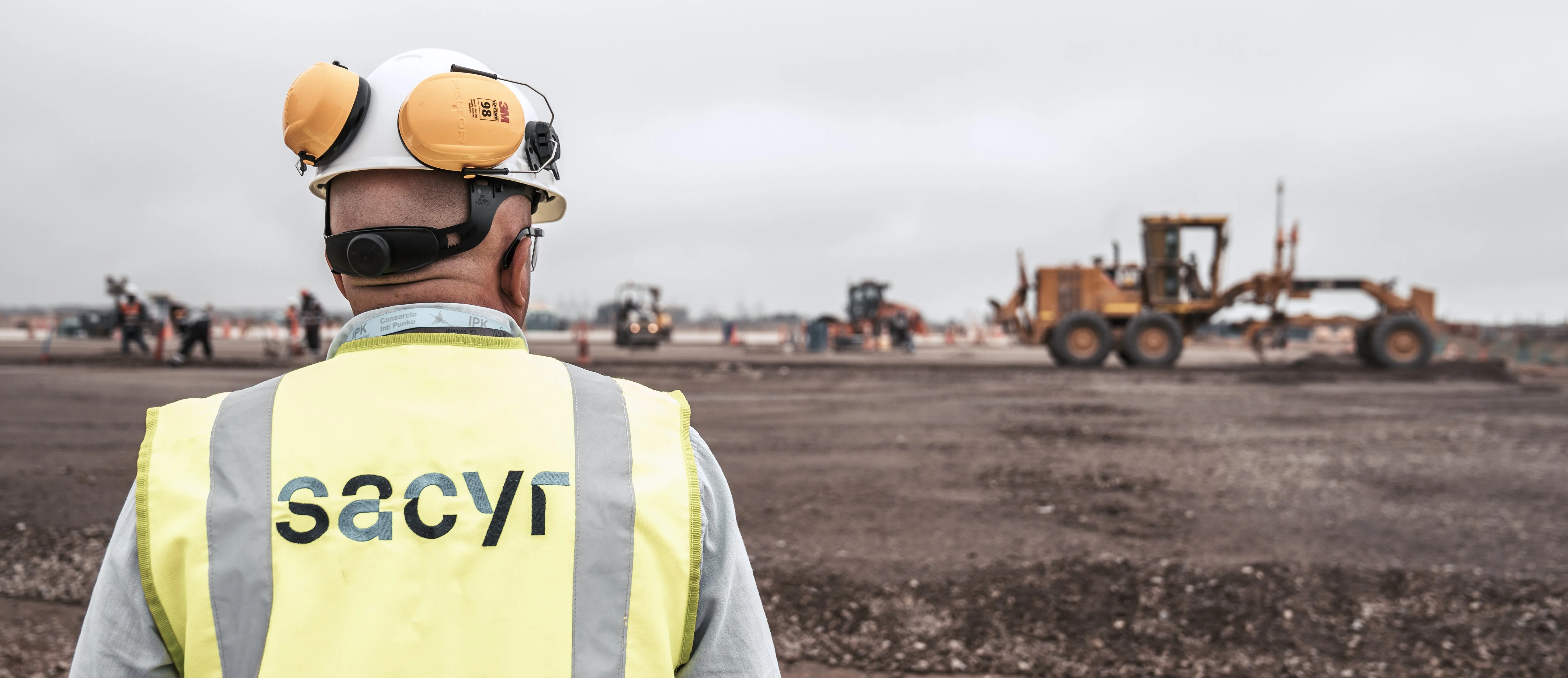
    Peru’s capital, Lima, is to benefit from a massive new international airport, which will be one of the largest in Latin America – Mike Woof writes
  • Ma(r)king the roads readable for self-driving cars
    December 20, 2021
    CAV, V2X, C-ITS, CCAM – the acronyms are differing, but they all have in common that they denominate the linking of road infrastructure and vehicles with the aim to improve traffic flow, reduce emissions and make traffic safer and our journeys more convenient.
  • Picture perfect imaging
    June 18, 2012
    Topcon has produced a new imaging station which, it claims, will dramatically increase productivity when used in two-man auto-tracking or single operator robotic modes. Using prism auto-tracking scanning interface technology the IS-3, when used with Topcon’s RC-4 remote control system, will track prisms up to 1,000m away.
  • Picture perfect imaging
    June 26, 2012
    Topcon has produced a new imaging station which, it claims, will dramatically increase productivity when used in two-man auto-tracking or single operator robotic modes. Using prism auto-tracking scanning interface technology the IS-3, when used with Topcon’s RC-4 remote control system, will track prisms up to 1,000m away.