Accurate laser scanning with Leica Geosystems

A new handheld imaging laser scanner from Leica Geosystems is said to offer high efficiency for surveyors.
February 6, 2020 Read time: 1 min
Fast laser surveying is possible with the new tool from Leica Geosystems

The BLK2GO handheld imaging laser scanner is said to be the first-of-its-kind mobile scanner that can scan complex spaces efficiently and quickly due to its LiDAR, SLAM (simultaneous localisation and mapping) and edge computing technologies.

The laser scanner can capture 3D environments while the user is in motion, and generate 3D point clouds continuously. Compact in design, the unit allows access to spaces that may have been difficult or impossible to scan before.

Combining two-axis LiDAR with visual SLAM technologies, the BLK2GO will accurately follow a user’s trajectory while scanning. When used with the iOS app, users can get live feedback, check the device status, or do quick data inspection.

For more information on companies in this article

Related Content

  • Protecting bridge assets over time
    September 1, 2021
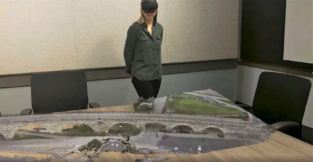
    One of the challenges facing transportation agencies today is how to conduct accurate, timely, and safe bridge inspections. Maintaining bridges is important to ensure public safety, and bridge owners and engineers need to perform regular inspections to determine the structural integrity of bridges so that they can plan for maintenance, rehabilitation, and replacement of those bridges.
  • Compaction review: cutting edge updates
    June 21, 2024
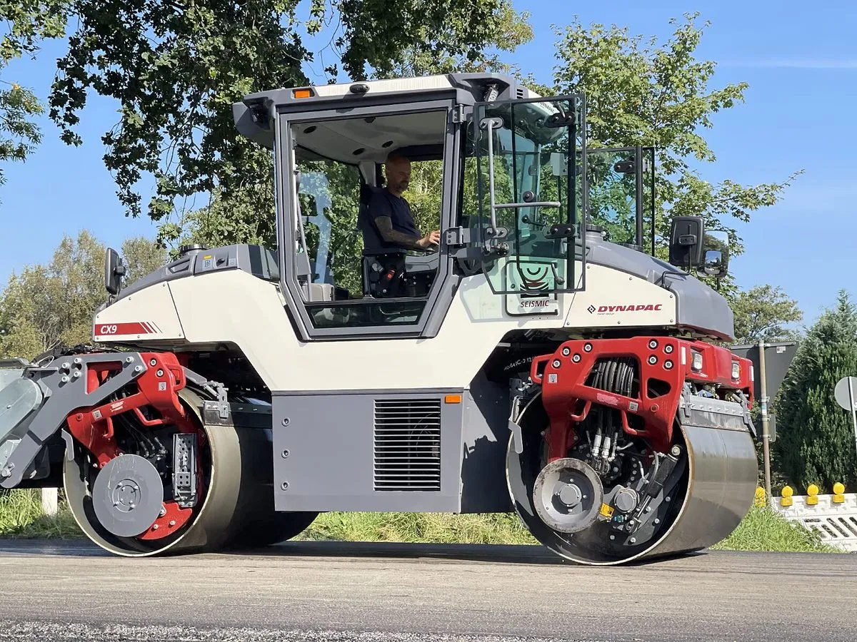
    An array of innovative asphalt compaction machines are now coming to market from several of the major manufacturers.
  • Hamm | Self-monitoring in earthworks via Smart Doc
    April 1, 2021
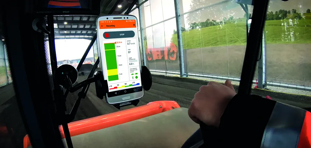
    With Smart Doc, Hamm presents an app with which compaction in earthworks can be transparently documented and the result shared with third parties. The lean app was developed in close coordination with building practitioners. The focus here was on the possibility of self-monitoring when it comes to compaction in earthworks. Smart Doc also fulfils the minimum requirements of continuous compaction control (CCC). With an intuitive user interface, the app also creates added value when training new roller operators, as all relevant compaction parameters are visualised in real time on the smartphone.
  • Picture perfect from Leica
    July 18, 2012
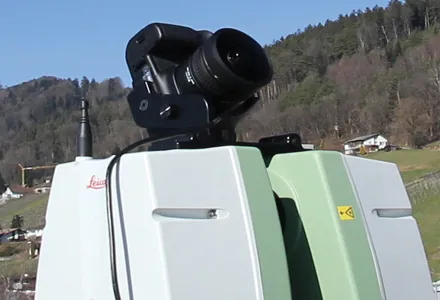
    Advanced imaging capability has been added to the Leica ScanStation C10 laser scanner. The new option consists of a direct digital camera mount on the ScanStation C10 scanner and tight, automated integration of external camera images into the scanner’s on-board controller and data storage system. Cyclone v7.4 supports the new option.