Accurate laser scanning with Leica Geosystems

A new handheld imaging laser scanner from Leica Geosystems is said to offer high efficiency for surveyors.
February 6, 2020 Read time: 1 min
Fast laser surveying is possible with the new tool from Leica Geosystems

The BLK2GO handheld imaging laser scanner is said to be the first-of-its-kind mobile scanner that can scan complex spaces efficiently and quickly due to its LiDAR, SLAM (simultaneous localisation and mapping) and edge computing technologies.

The laser scanner can capture 3D environments while the user is in motion, and generate 3D point clouds continuously. Compact in design, the unit allows access to spaces that may have been difficult or impossible to scan before.

Combining two-axis LiDAR with visual SLAM technologies, the BLK2GO will accurately follow a user’s trajectory while scanning. When used with the iOS app, users can get live feedback, check the device status, or do quick data inspection.

For more information on companies in this article

Related Content

  • Well structured maintenance
    January 4, 2013
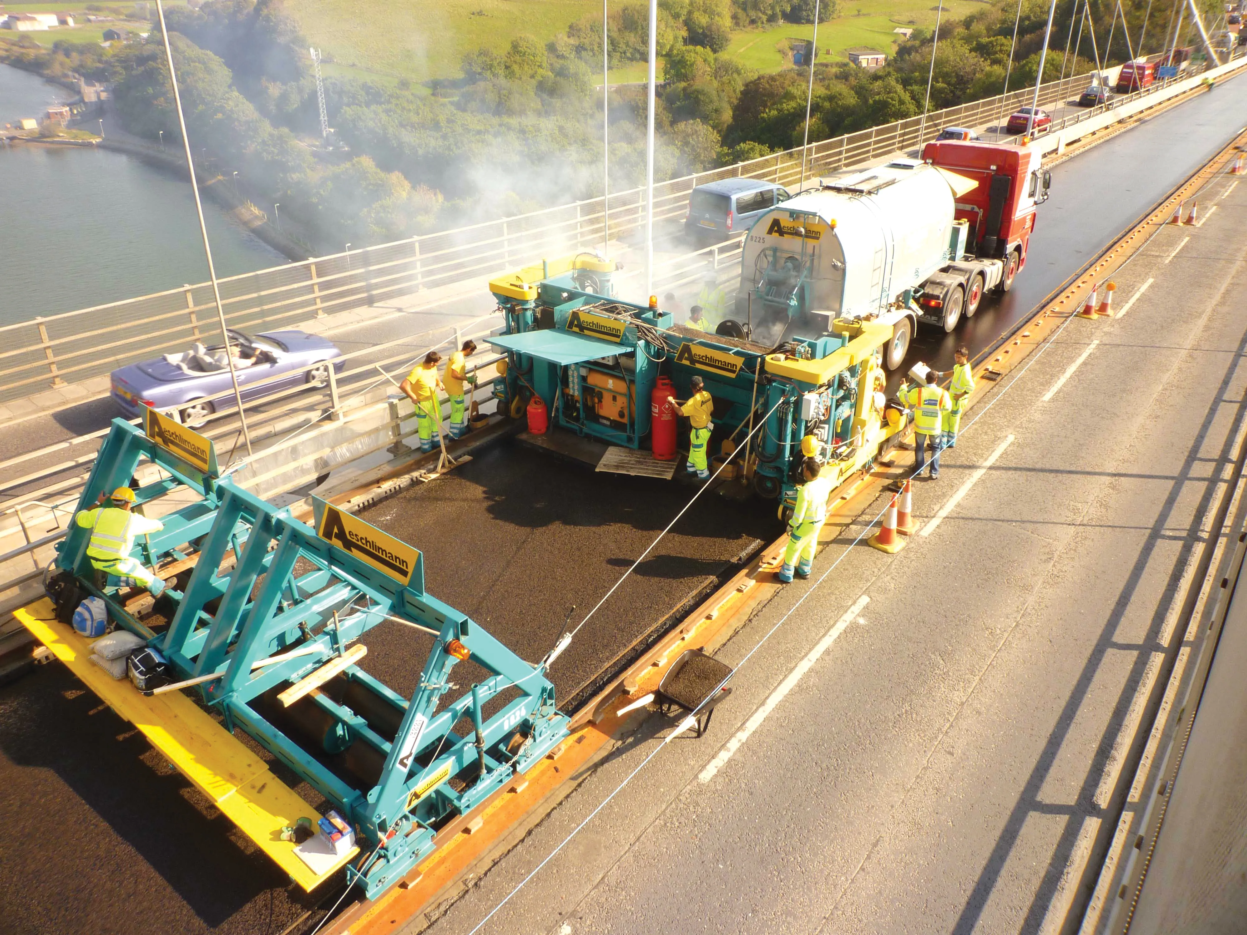
    Major bridge maintenance and replacement projects across the world are extending the life of many impressive historic landmarks as Guy Woodford reports The Tamar Bridge, part of the main A38 trunk road linking Saltash in Cornwall with Plymouth in Devon, south west England, marked its 50th anniversary with a steel deck resurfacing project involving Stirling Lloyd's Eliminator bridge deck waterproofing system. Jointly owned by Plymouth City Council and Cornwall Council, the Tamar has a suspended length of 642
  • Caterpillar Paving offers a guide to efficient night time paving practices
    October 3, 2014
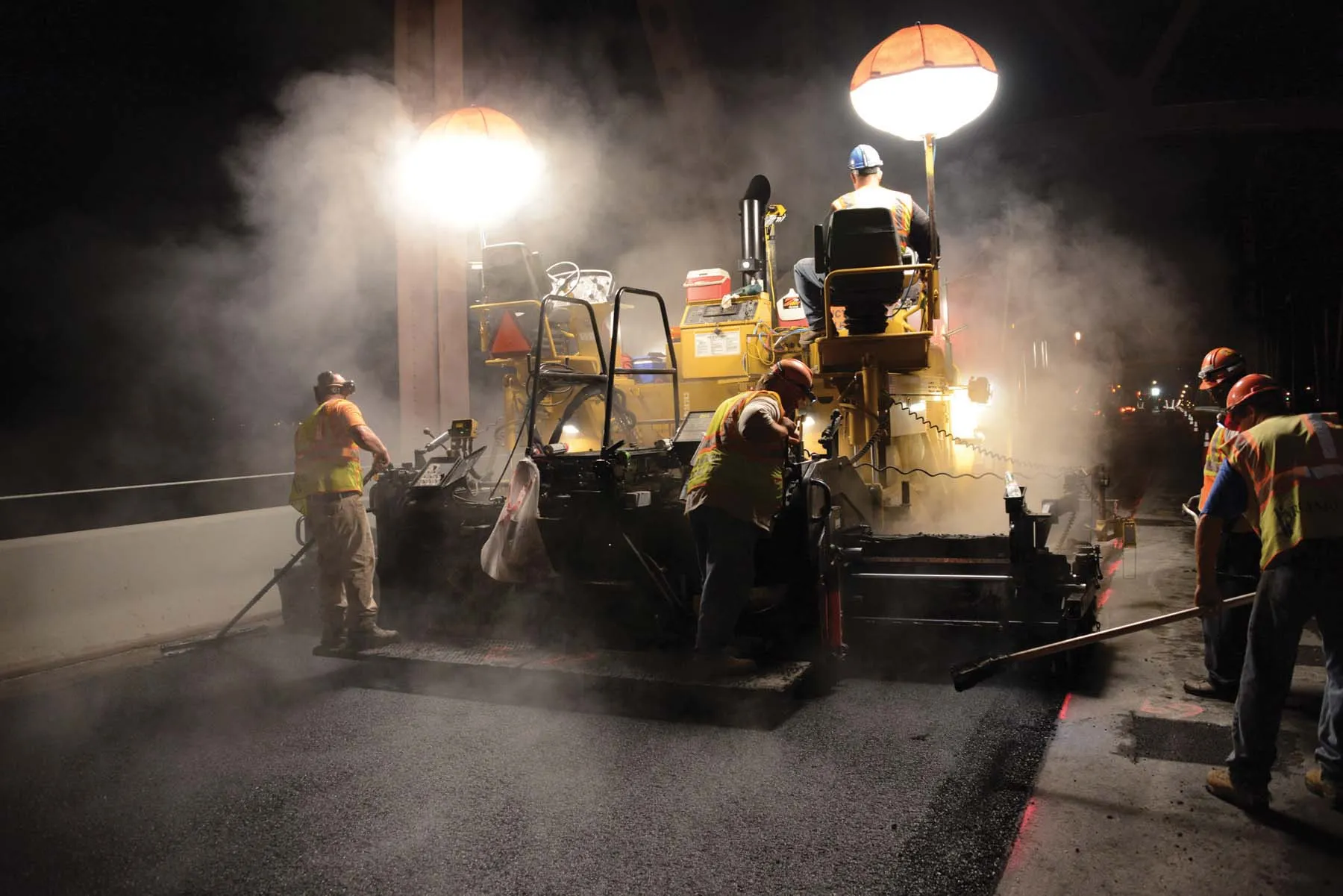
    Efficient night-time paving operations can reduce construction costs and cut traffic delays - *Todd Mansell writes As roads become more congested, the user cost of daytime lane closures to accommodate road construction and paving has increased dramatically. One solution to lower user costs associated with traffic delays is to carry out more paving at night during off-peak times. However night-time paving brings new challenges to producing quality work in safely.
  • Sophisticated plotting
    February 7, 2012
    Leica Geosystems is offering its improved SpiderWeb v4.0 package as part of the new reference station software update. This improved suite of solutions also includes the GNSS Spider v4.0 and SpiderQC v4.0 packages.
  • Innovative new drainage solutions will help keep roads free from water
    October 2, 2014
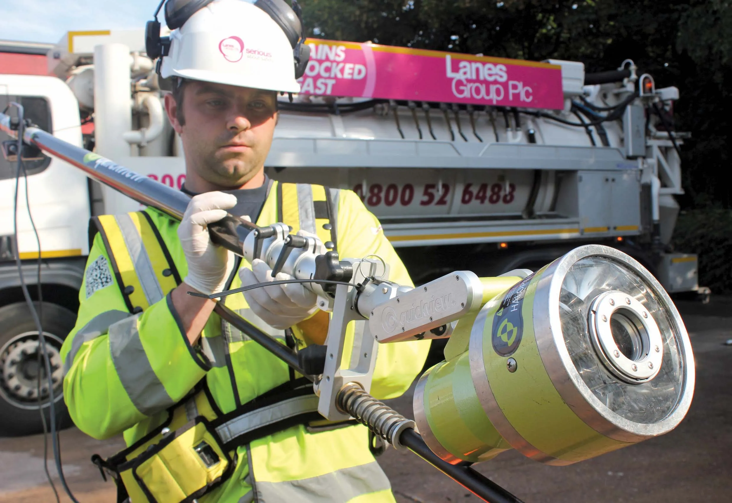
    An array of new technologies will help optimise road drainage and minimise flooding risks - Mike Woof reports In the UK the specialist contractor Lanes Group has carried out extensive inspection work of the drainage systems for the M6 toll route around the city of Birmingham. A powerful zoom camera has been used to carry out the inspection work for Midland Expressway, which operates and maintains the 43km-long motorway, running from Coleshill to Cannock.